Timberline Trail Devastation above Muddy Fork
Note: I've created an updated page for summer 2021 with information and access to Maps and Resources, available by clicking the box to the Detour info below.
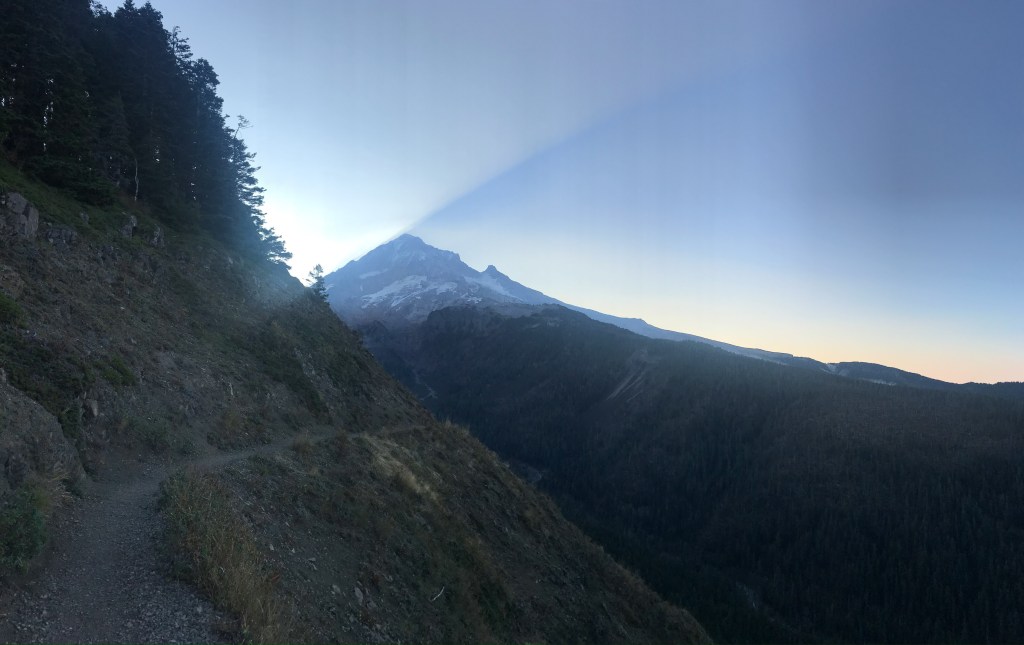
The section of Mt Hoods Timberline Trail that rises from the Muddy Fork crossing and wraps around the lower section of Yocum Ridge on the way to Romana Falls went through large, shaded old growth forest, a section of trail gently hugging the contours of the slope with little steepness despite some wavering in elevation.
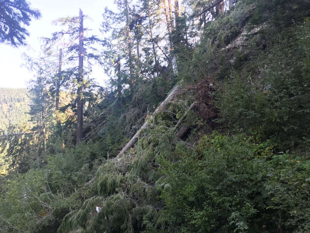
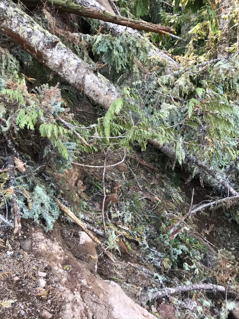
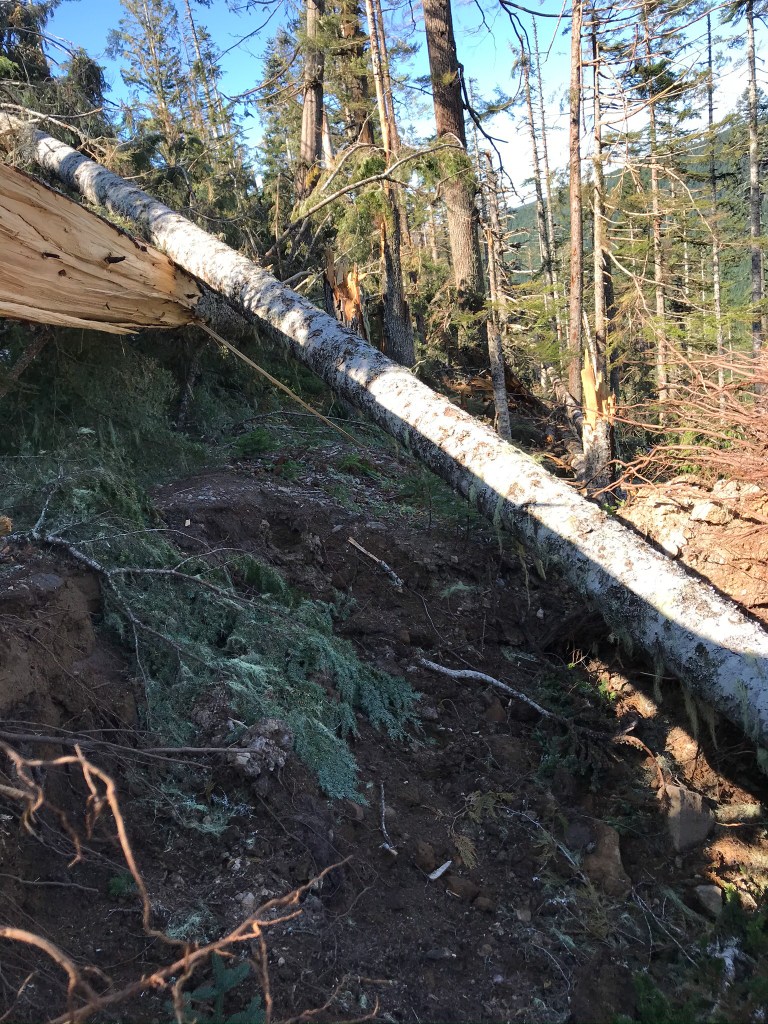
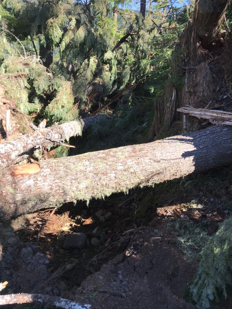
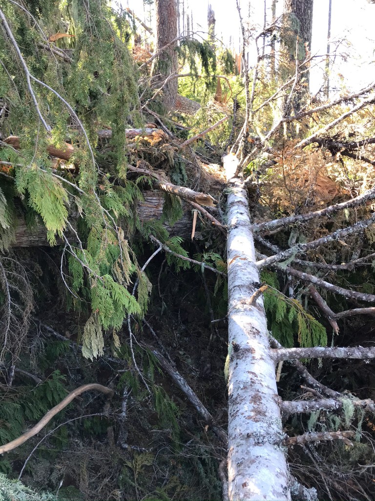
The good open tread made for a quick section. Normally I’d be through the section in 20 to 30 minutes. Everything is changed now, after the intense wind event in September. Knowing there was some significant impacts, I trekked out to see the damage. From Muddy Fork going towards Yocum Ridge, the devastation is nearly complete, it seems like sections where you can still walk upright without logs to avoid is the exception.
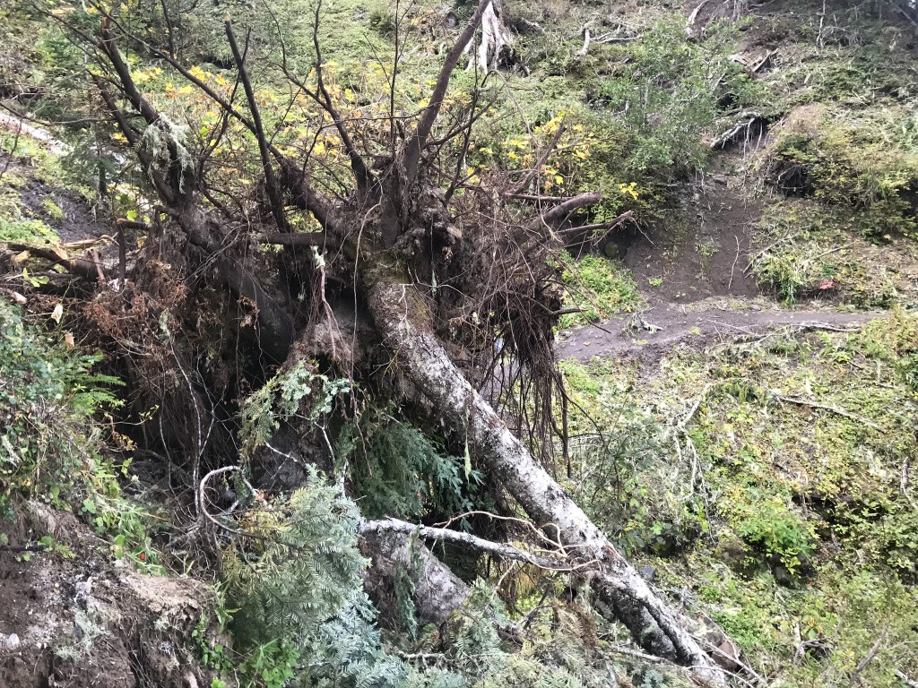
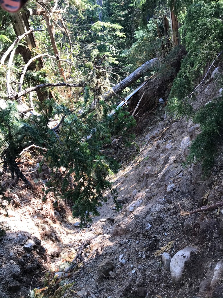
The old growth forest has been dropped, nearly completely in some sections, and the result feels more like a landslide or a bomb went off than windfall. In all my years of trail work and hiking, I’ve never seen a section so completely devastated. Much of the tread has been ripped out when entire root systems peeled away from the hillside, and in places logs stack 15 feet up like piles of toothpicks. There are many, many trees greater than 30 inches out. It took over 3 hours climbing over the area, taking notes and photos.
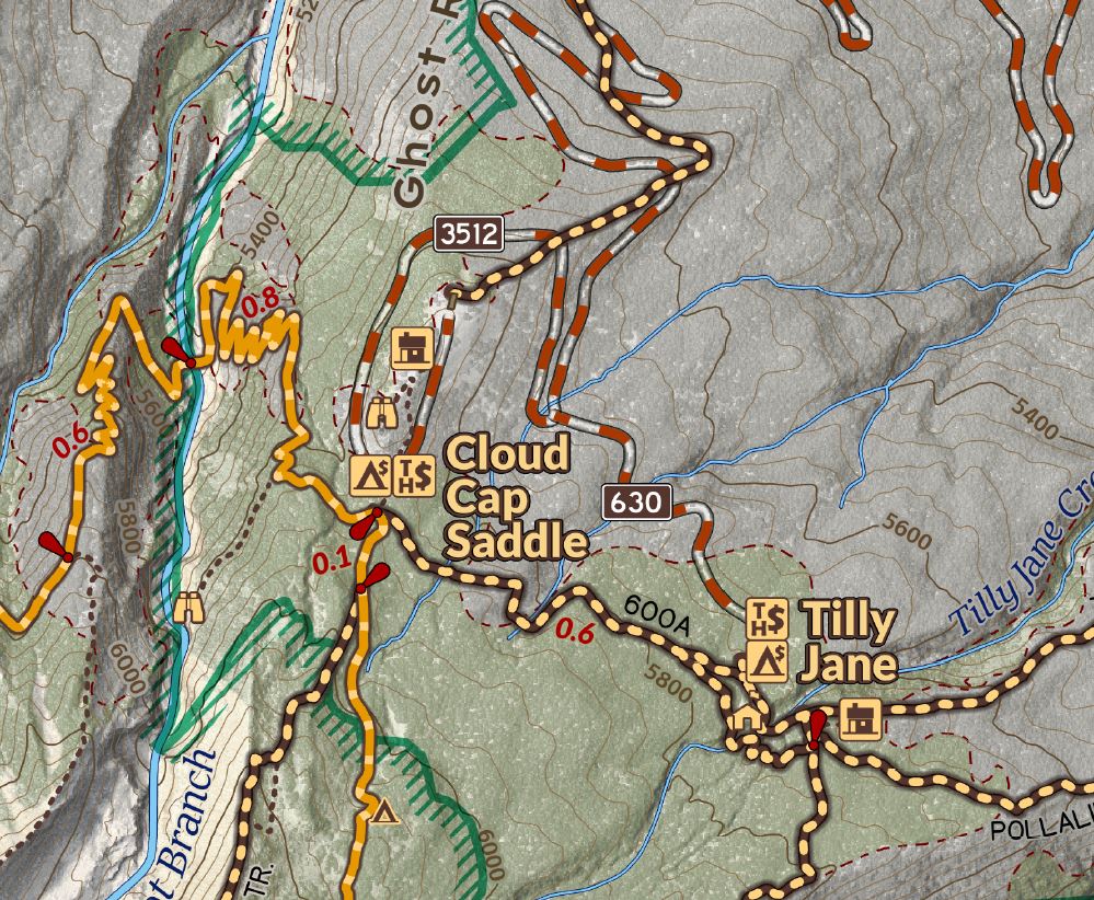
At some points I was on top of trees on top of trees on top of trees, many body lengths above the actual ground, channeling my inner squirrel to make the way. It’s going to take some significant and highly technical work to safely clean up this mess and rebuild the tread. For the foreseeable future, the Timberline Loop should be completed by following the PCT south from the Top Spur Timberline Junction near Bald Mountain, and then taking the Ramona Falls Trail to reconnect at the Falls.


James Wilson
Thank you for visiting my cartography portfolio. I hope you enjoy exploring my work and creations.

