Late July on the
Timberline Trail

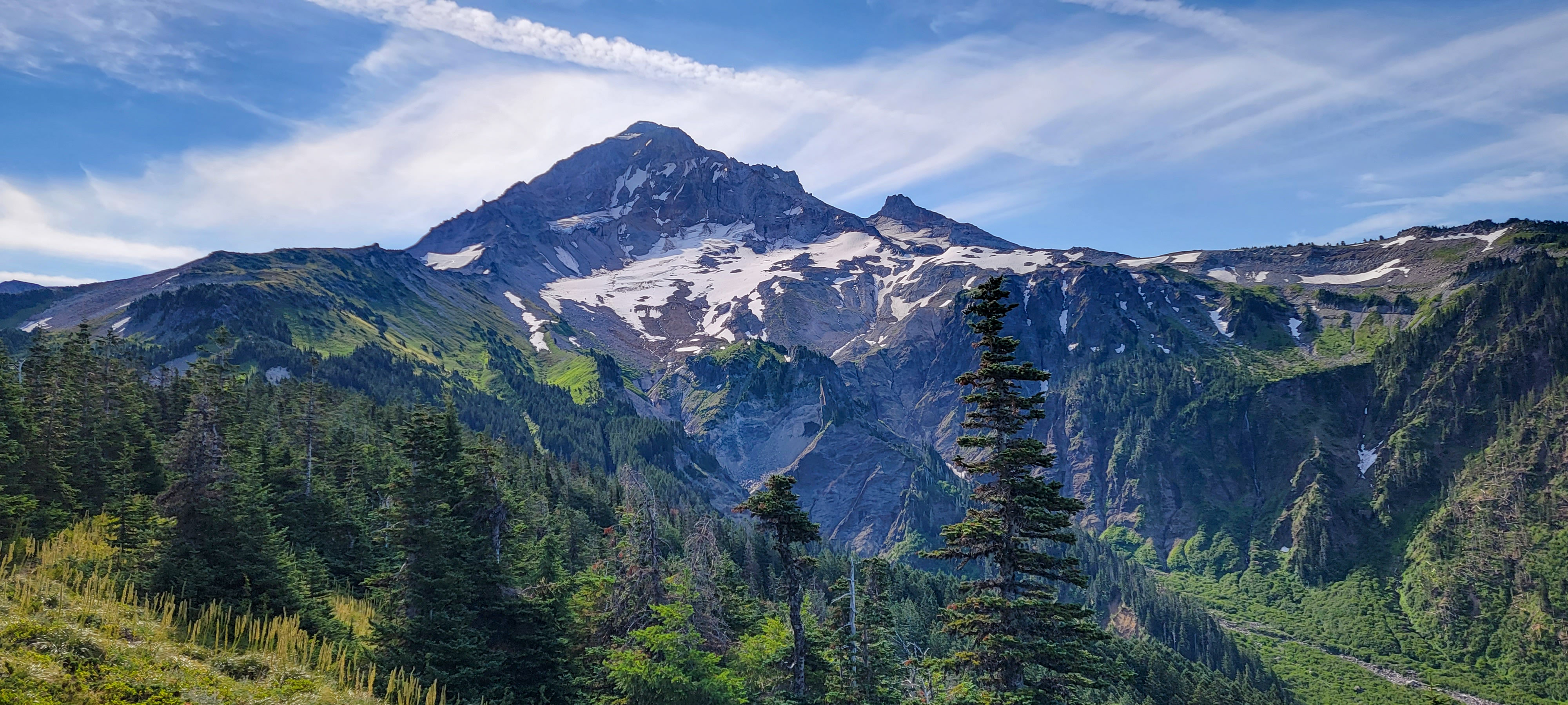
Overlooking the Sandy River and Paradise Branch
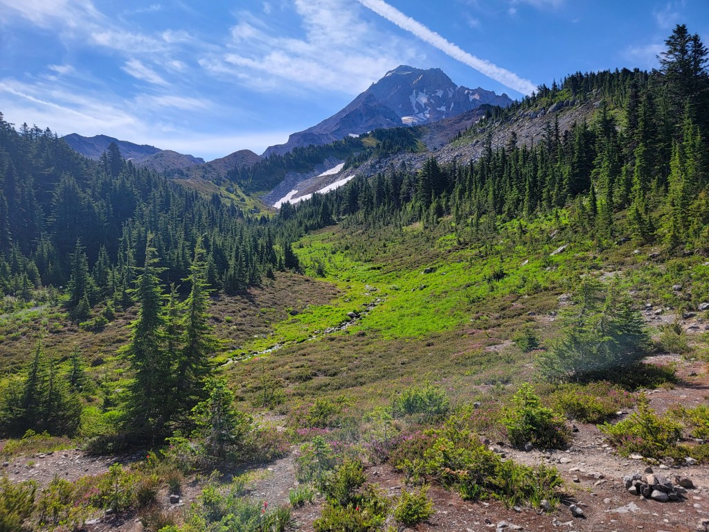
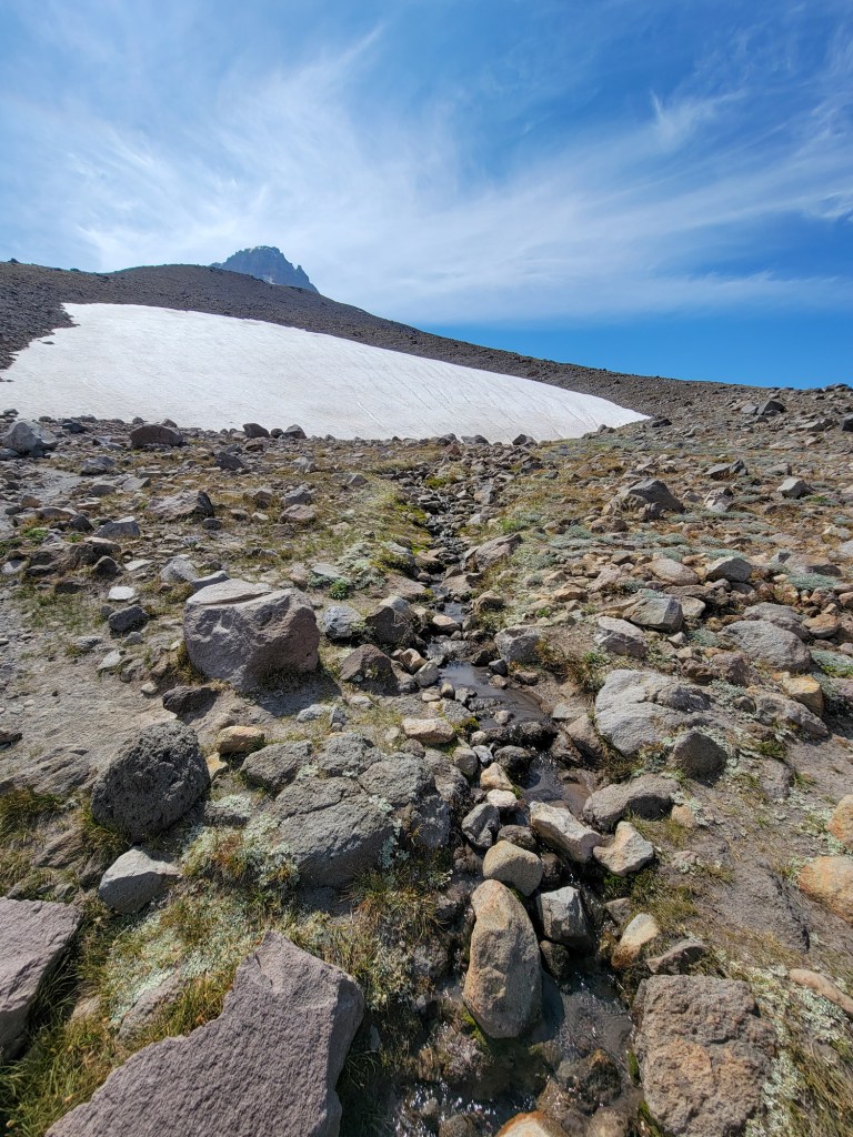
It's been twenty days since I took the Timberline Trail around Mt Hood, and there have been some welcome transformations on the trail since. The patches of snow across stretches of the trail in the north have melted away save one small pocket, and some of the snowfields across the eastern flanks have retreated enough to expose small runs of their melt water across the trail for drinking. Trail crews have continued to clear sections, notably the mess that was piled at the bottom of Rushing Water Creek where it and the trail meets the Sandy River.
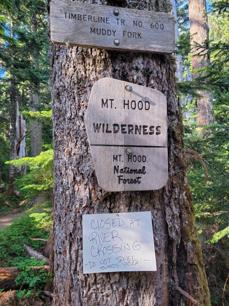
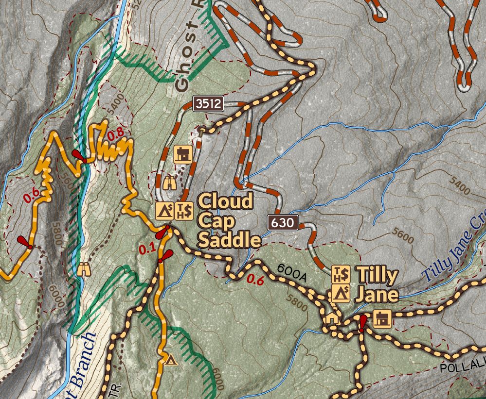
Bald Mountain Ridge, between the cutoff and heading out towards McNeil Point still has blowdown and is a meander, with some logs to navigate but has become so beaten in already it is easy to follow. I did talk to a couple groups of hikers that were unaware of utilizing the cutoff trail and following the southern leg of the Timberline Trail around Bald Mountain. This avoids all the old growth blowdown on the north side and lets backpackers not skip some of the best views on the trail. So here's my map detailing that area again. There are lots of signs and awareness for avoiding the Yocum Ridge blowdown along the Muddy Fork.

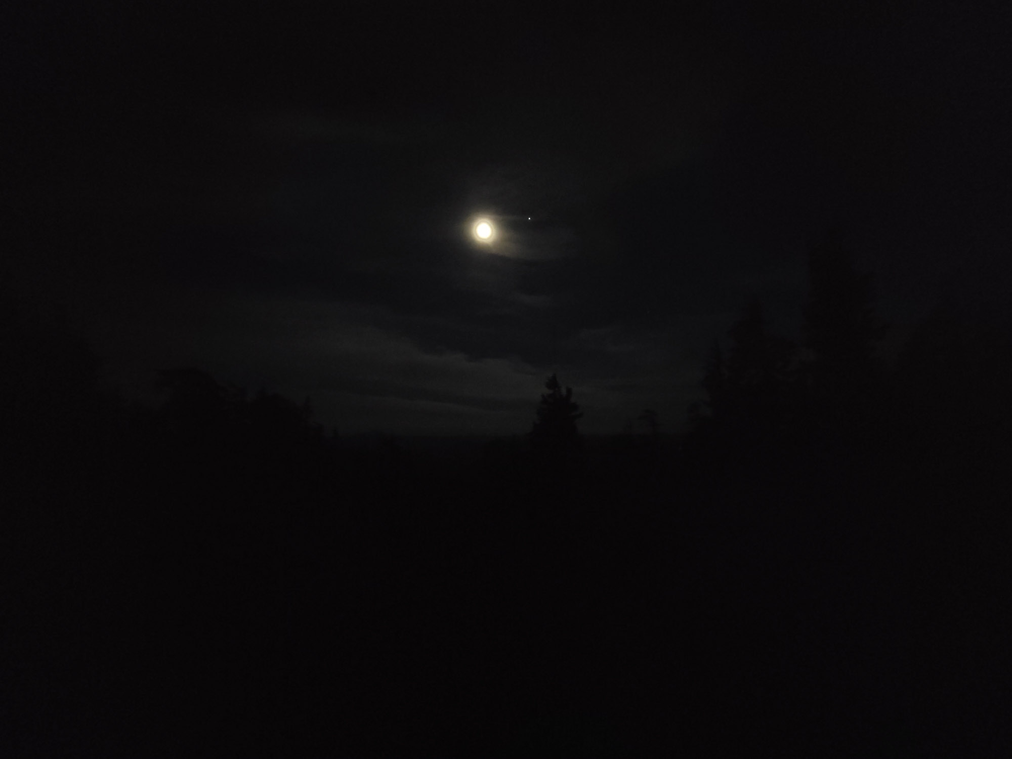
This go round would be my 7th Timberline Loop, and since I hadn't gone clockwise since my first time, I figured I'd go that way, and also avoid the long afternoon slog all the way up from the PCT. I remembered why I prefer to go counterclockwise in the afternoon with the long stetches of sunshine on the north and all along the eastern side of the mountain. My day started pre-dawn with a very warm breeze as I was heading toward Zigzag river, guided by the moonlight and only needing the faintest red light setting on my headlamp to give highlights to the rocks on the path.


Dawn at Zigzag Canyon and Paradise Park
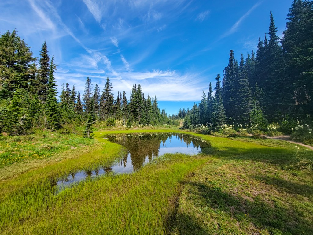
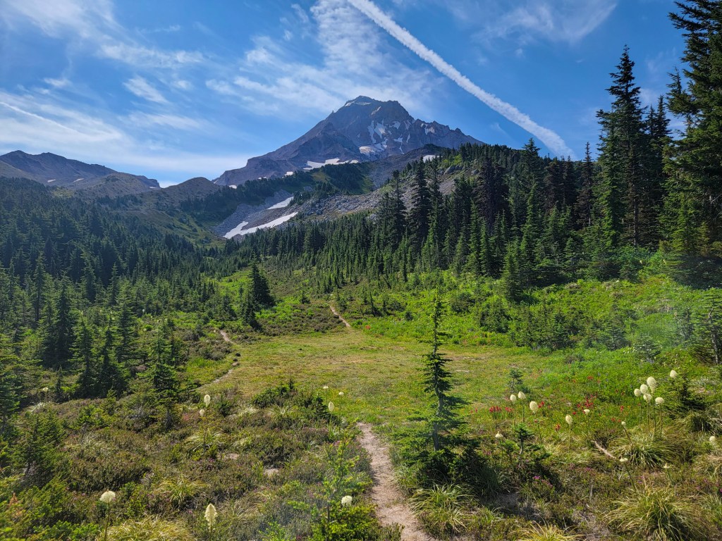
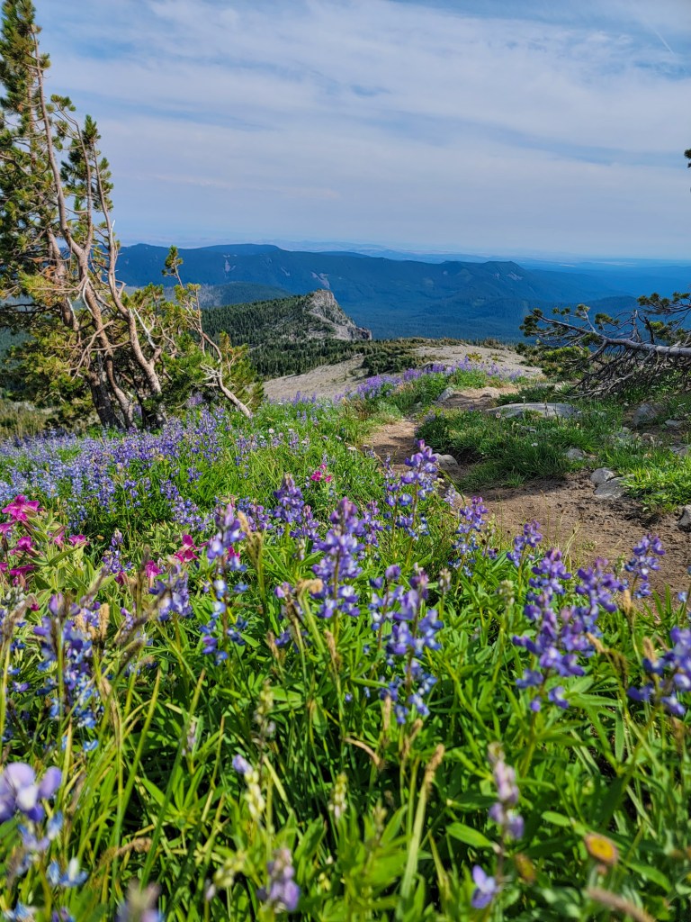
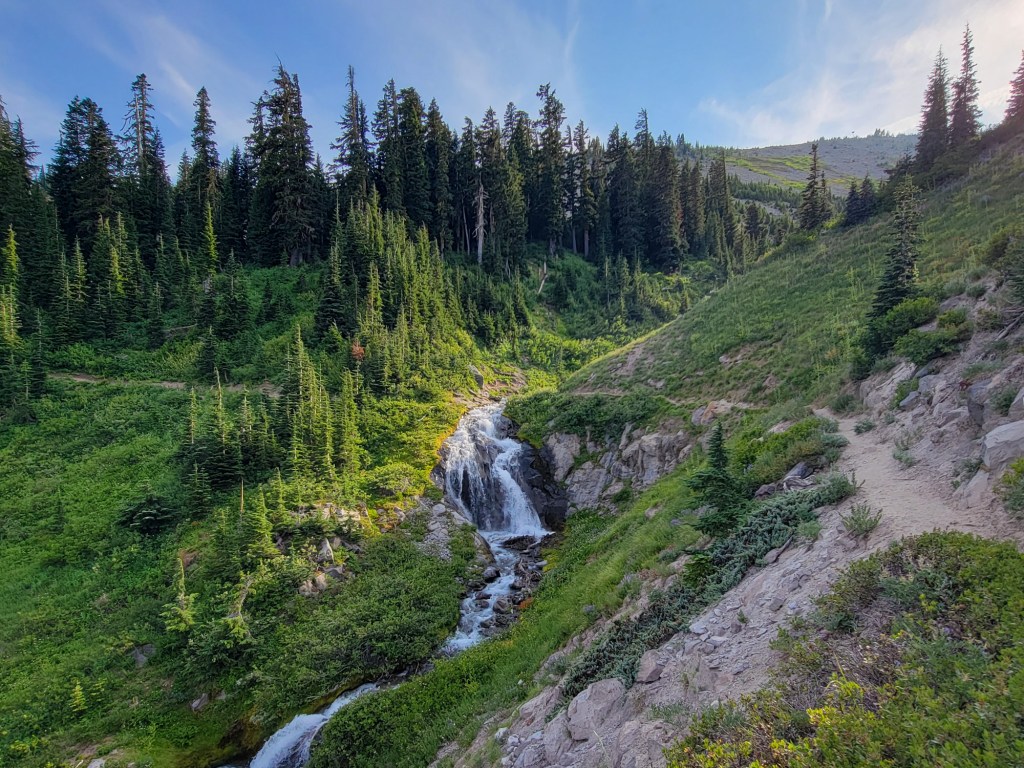
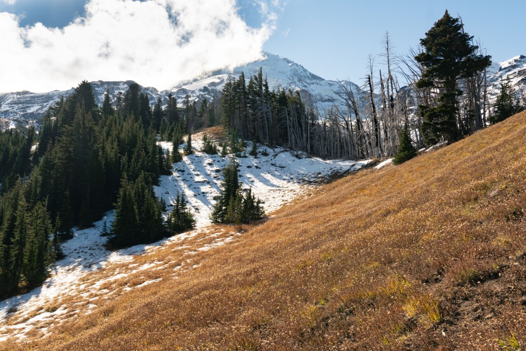
I decided to climb up to Paradise Park because my timing would put me there around sunrise, and wildflowers are blooming all over. Continuing down along the way it was nice to have some soft easy downhill. I poked out at the viewpoints overlooking the Paradise Branch where a series of waterfalls pour over harder deposits in the canyon

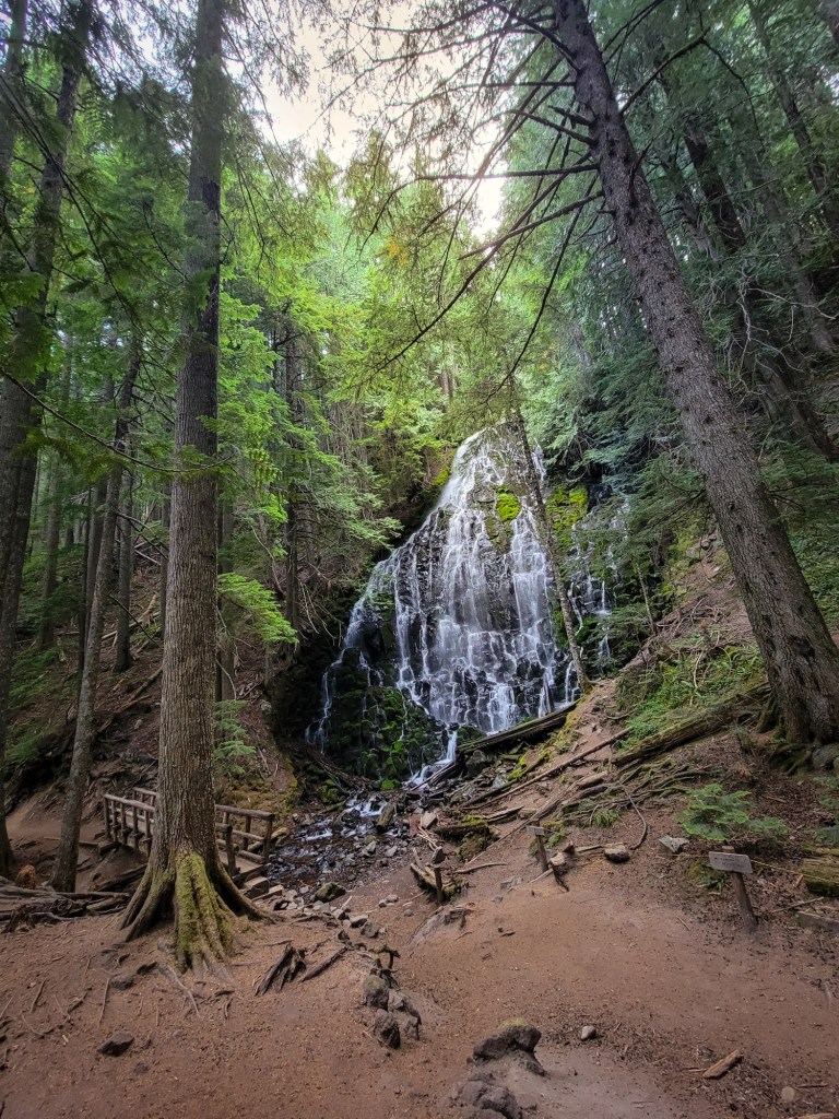
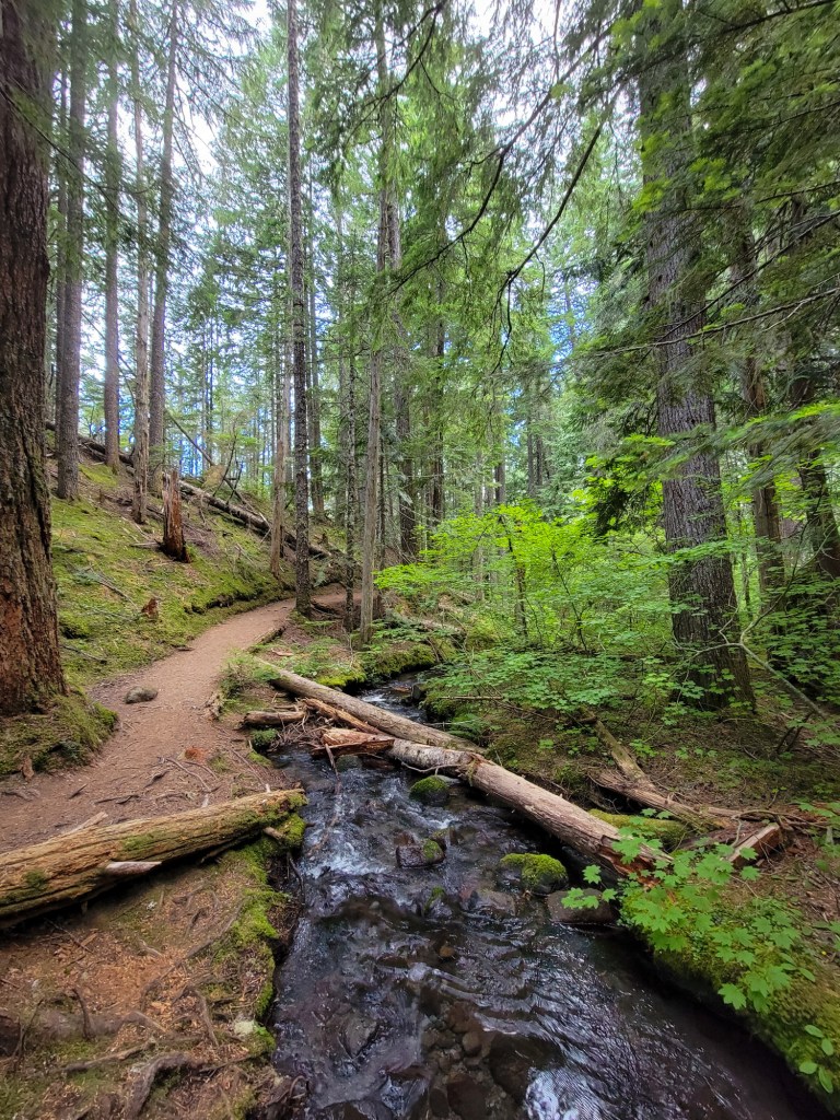
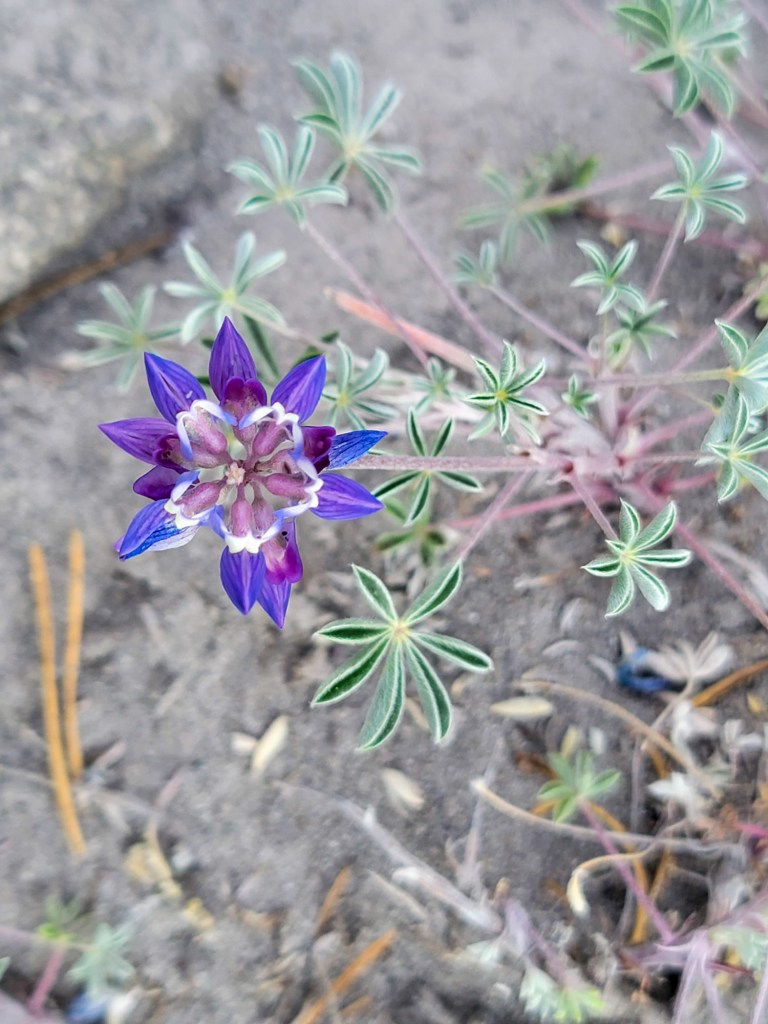
After the crossing the Sandy, I climbed up and visited the old Sandy River Guard Station. Part of the purpose for hiking the loop today was to expand my inventory of campsite and water sources, and other feature locations for future mapping projects. I camp across some incredible camp spots. Ramona Falls was lovely as ever, and the Muddy Fork was running, well... muddy. Lots of flowers are blooming all along the trail. Crossing the Coe Branch was better than it looked, with water below the knee and decent footing. The Eliot was running swift and was thigh deep and quite cold, muddier and higher than when I last saw it following the warm night. With another spell of warm weather coming and warmer nighttime temperatures even at high elevations. It would be best to approach the Eliot as early as you can.
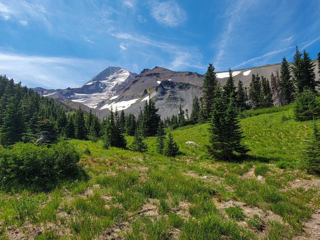
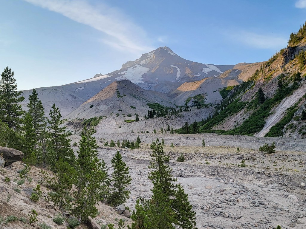
After climbing up to Cloud Cap and sitting for a snack, I really started to feel the heat and strong sun of the afternoon. I had spent a lot of time exploring sites along the trail and talking with backpackers here and there and climbing up alongside the Eliot east moraine was pretty baking and slowed me down. Reaching the Timberline Trail high point was a relief and the downhill was well welcomed. Despite my lagging pace and already sore legs I was enjoying the afternoon light exposing features of Gnarl Ridge and Newton Creek Canyon that are normally shaded to my view.
I was encountering parades of counterclockwise backpackers heading toward Cloud Cap, having set out from Timberline Lodge in the morning or camped around the Meadows. In the morning I had passed a whole lot of tents of the clockwise backpackers, and except for a couple groups, from the Muddy Fork to the Eliot was as quiet as I've ever seen it. Crossing the rest of the creeks wasn't too bad, and being out of the sun in the vibrant Mount Hood Meadows area was nice. Crossing the White River I was able to keep my feet dry on rocks across both sections The final ascent up the to the lodge was a slog with the sun lowering down behind the ridge. With all my extra wanderings my total mileage for the day was around 43 miles and 9300 feet of elevation.


