Beautiful Benson Plateau and Beyond

Beautiful Benson Plateau and Beyond

A fantastic loop exploration from the river to the top of the Columbia River Gorge

It’s been nearly 2 years since I first explored the grand loop in the Columbia River Gorge that utilizes the Pacific Crest Trail and the iconic Eagle Creek Trail, climbing from the base of the Gorge all the way to Wahtum Lake. This trip I set out to extend the loop with a side trip to Indian Mountain, at the very crest of the Gorge, and to explore more of the trail conditions on the Benson Plateau.


Leaving before sunrise from the PCT trailhead next to Bridge of the Gods in Cascade Locks, after less than a half a mile I realized I had dropped my sunglasses (and would be wanting those later), so I doubled back and scooped them off the middle of the trail nearly back at the trailhead. There’s some construction and development happening at the PCT trailhead just up the hill in Cascade Locks, so a short bit of trail has been cut through the forest to avoid that small road section.

Benson-31

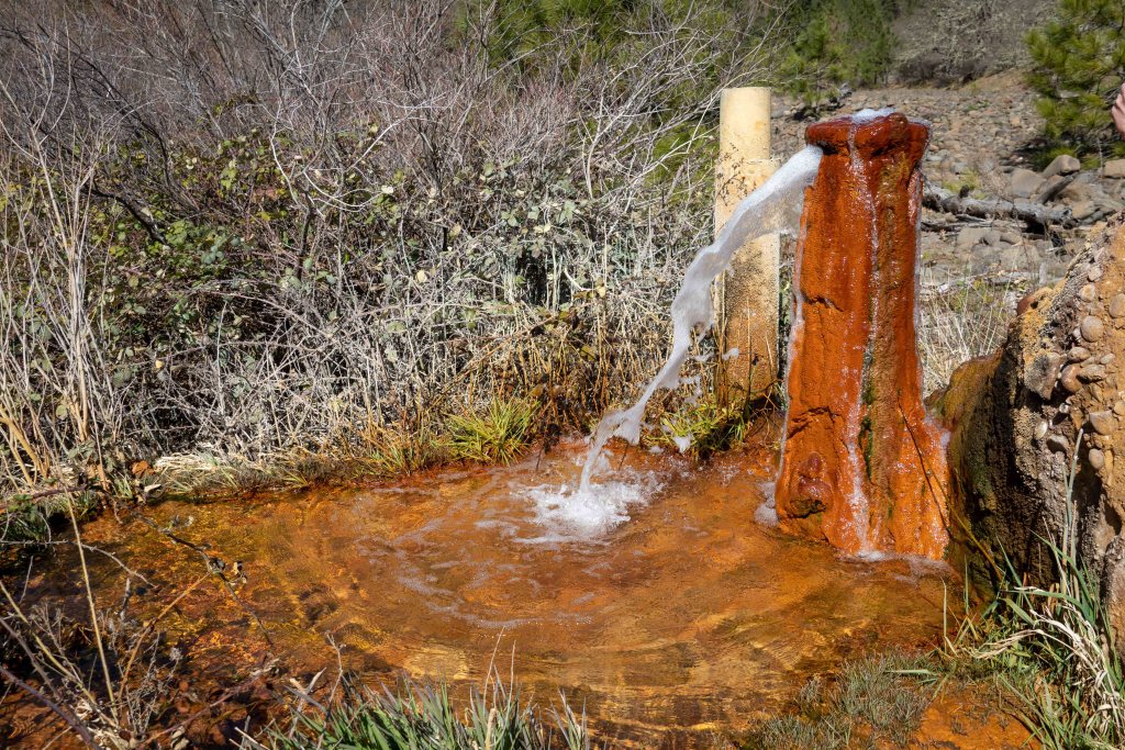
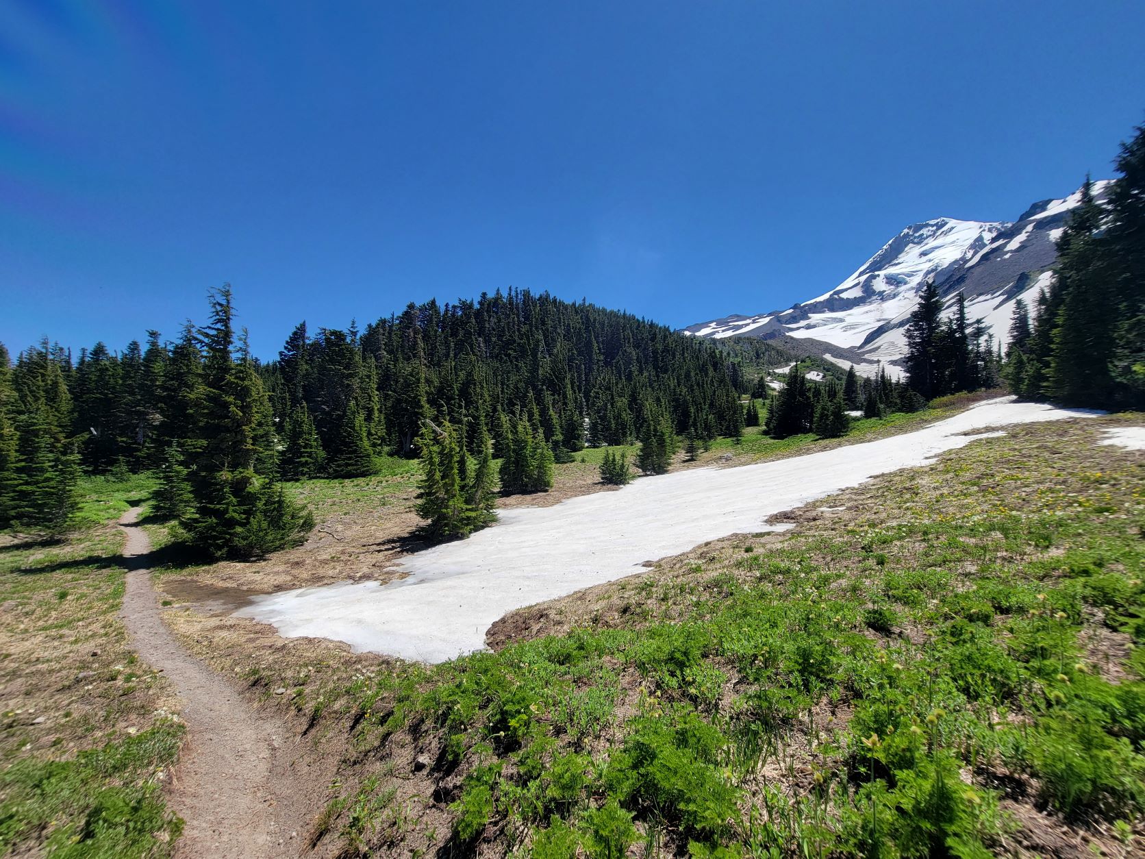
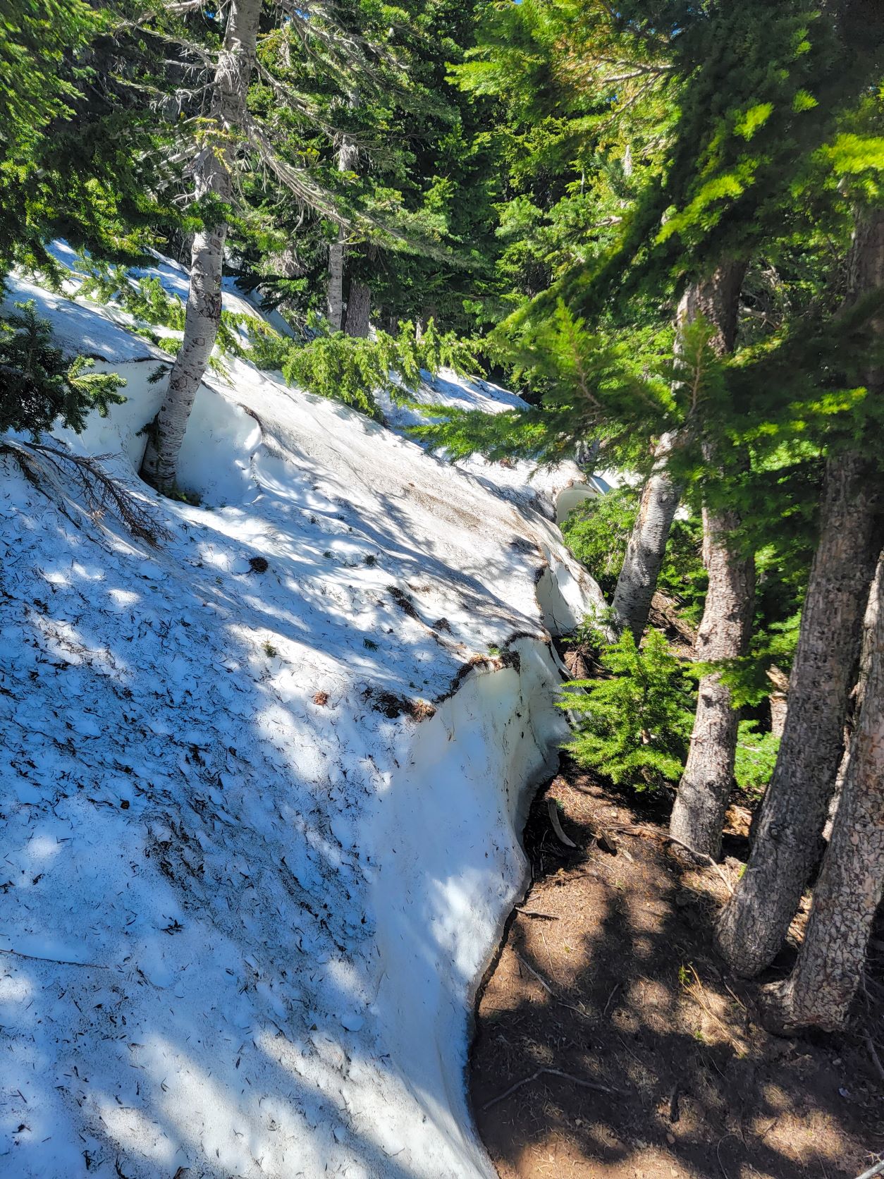
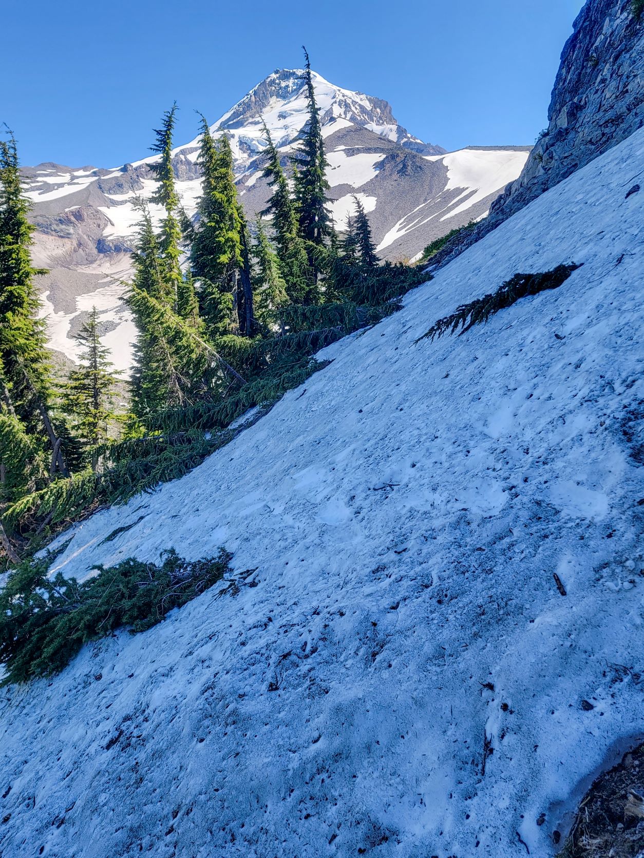
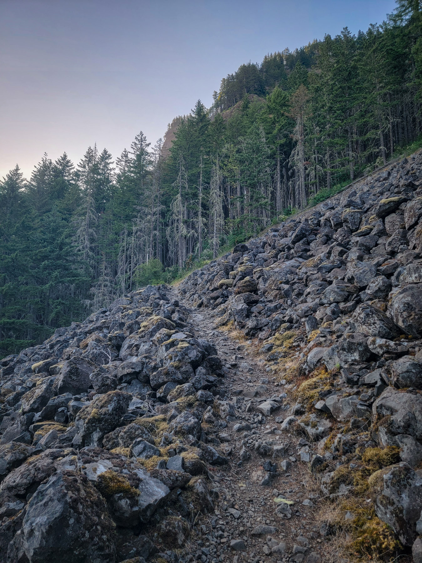
The talus slopes of the PCT as I trekked east provided a chorus of plentiful pikas, greeting the dawn and telling me to go away. Once rounding the corner into the Herman Creek drainage, the PCT bends south, and begins to climb, offering some nice views along the way. At Teakettle Spring, flowing out from a pipe directly blow the trail I stopped to refill water before the final ascent up onto the Benson Plateau.
Benson-29
Benson-30
Benson-27

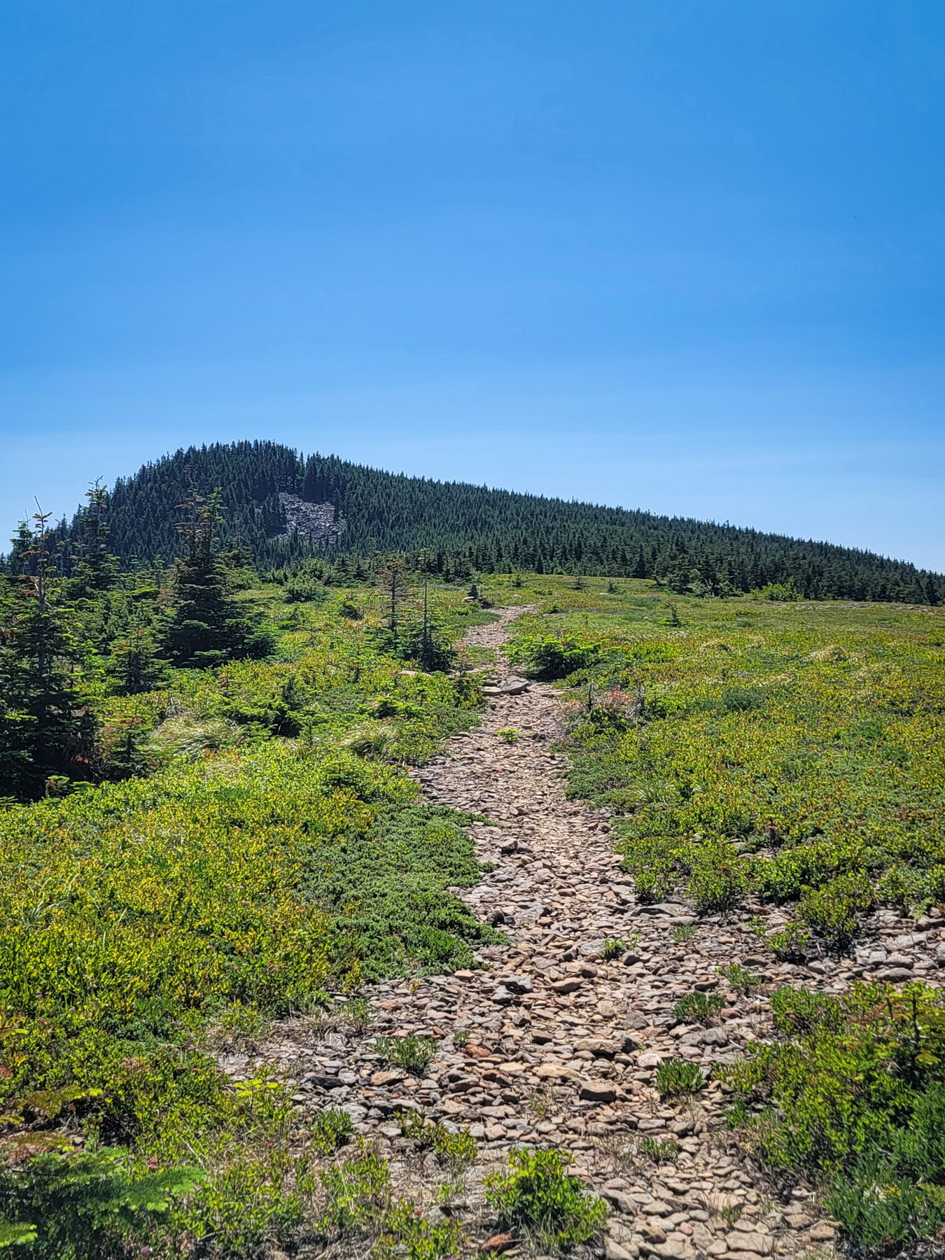
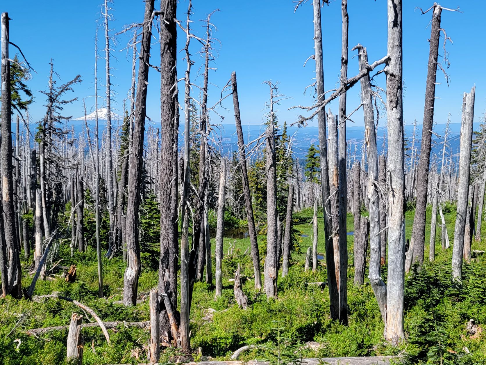
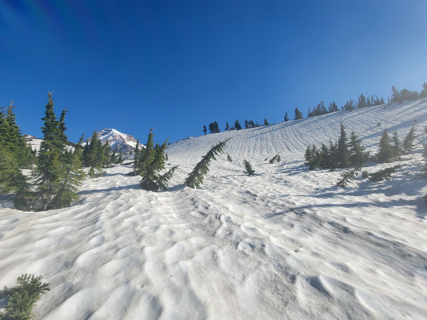
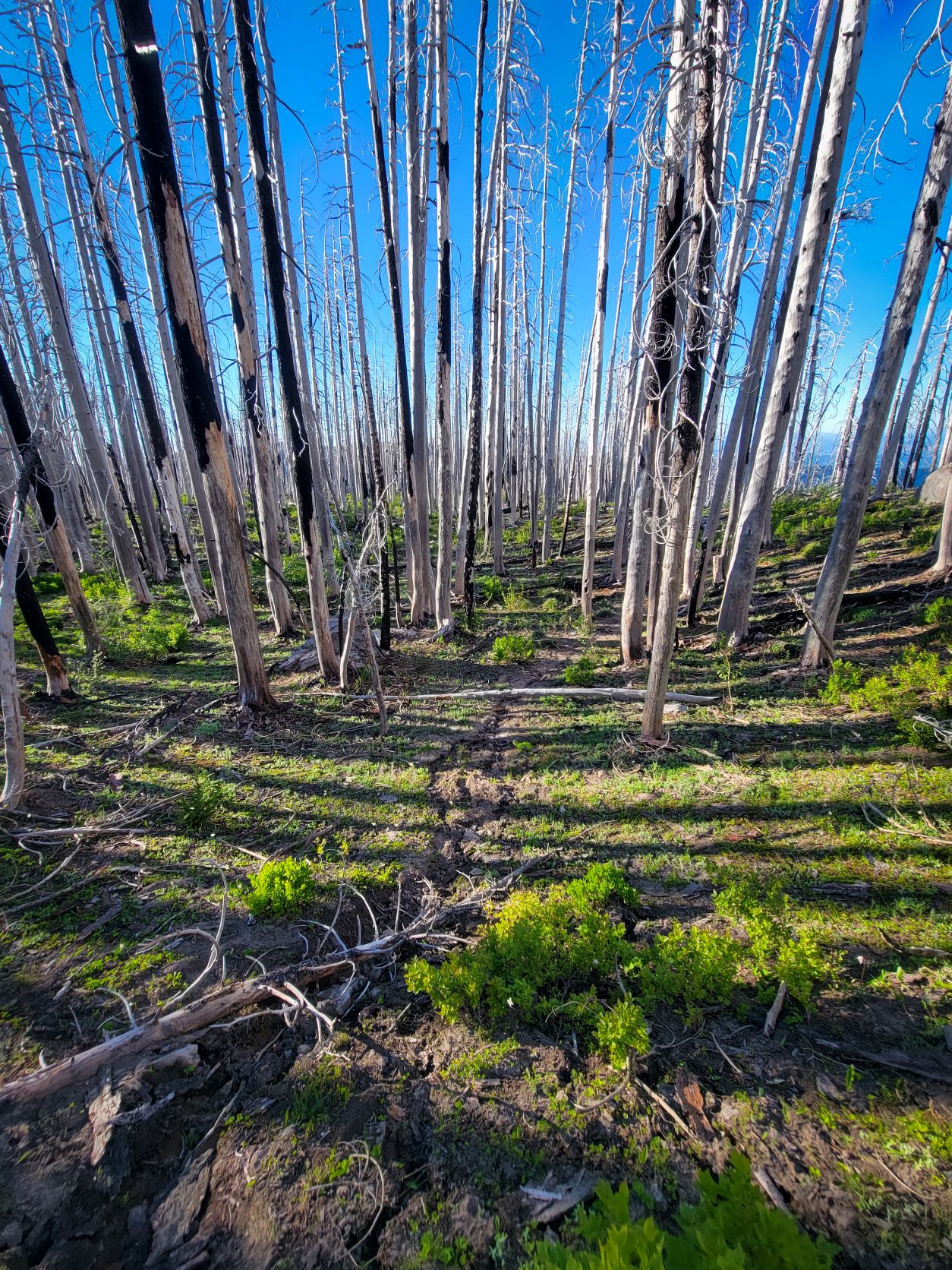
The Benson Plateau is a unique area in the Gorge, a large gently slopping area at 4000 feet covered by younger forest rising up over an expansive carpet of bear-grass. Small tarns and meadows dot the area  and there is a pleasant otherworldly feel to the area. The edges were singed by the 2018 Eagle Creek Fire, and the Ruckel Creek Trail and Eagle-Benson Trails plummet off the northwest and southwest of the plateau into the devastation of the burn, and have not been opened up yet for safe travel. First on the Plateau I poked into the 405B Benson Way Trail, but it quickly became apparent that it had been abandoned and while the corridor was possible to find, traveling it would be slow going and over many logs.


Just 0.7 miles south on the PCT the Benson-Ruckel Trail 405A leaves west across the plateau before dipping down to the Ruckel Creek Trail. Following downstream a short distance, Hunters Camp features several excellent camp sites along the idyllic creek, and just after the camp the trail closure is prominent, warning hikers away from descending into the overgrown burn zone below.

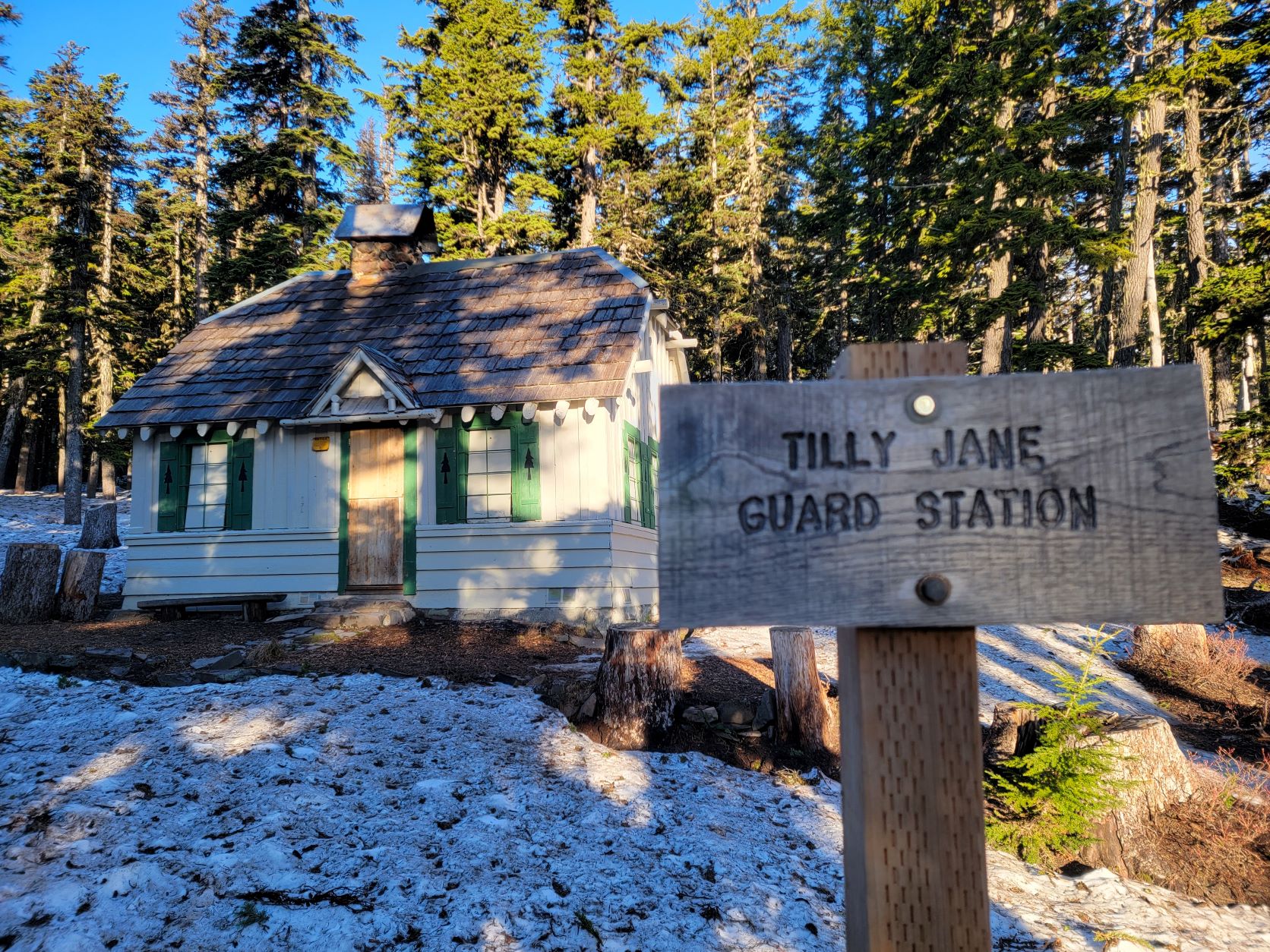
I cut back across the heart of the Plateau to the PCT on the Ruckel Creek Trail, passing by the Benson Camp, another large camping area. The south end of the Plateau was taken by the fire, and the southern connection of the Benson Way Trail where it meets with the PCT disappears almost immediately into obscurity. Descending south, I encountered a group of PCTA and SCA trail workers out working to clear the PCT, who told me the Forest wants to prioritize reopening the trails on the Plateau, and those leading up to, which is exciting news, and will require a lot of work.

Benson-26
Benson-25
Benson-24

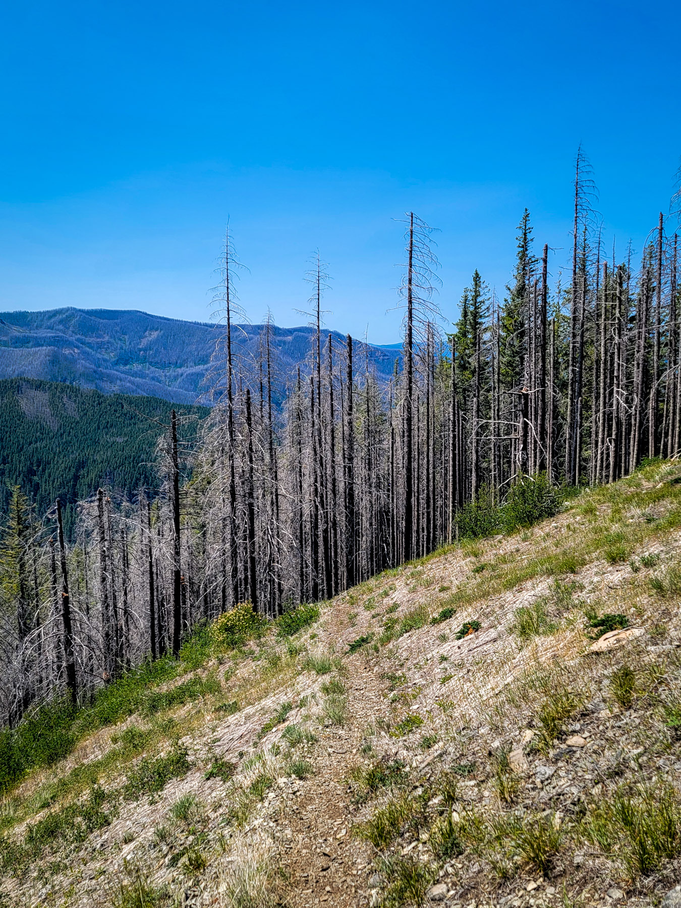
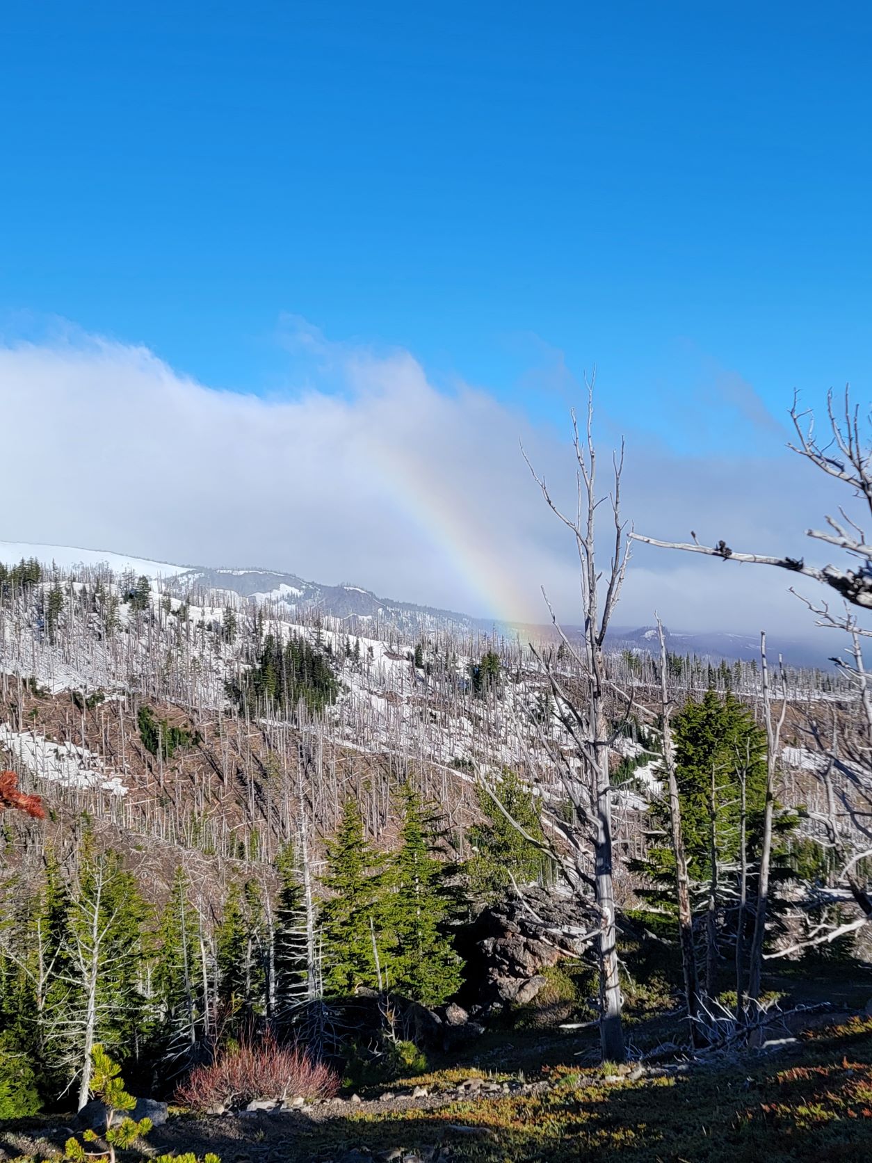
From Benson to the base of Chindere Mountain much of the trail is through burned forest, with rocky ledges and stacks along the ridgeline, offering some of the first expansive views of both the Herman Creek drainage and of the vast swathes of gray and white burned out forest along the slopes of the above Eagle Creek. I headed down the Wahtum Lake, enjoyed the cool breeze barreling across the waters for a moment, and then continued along the mildly graded, mostly shady stretch of PCT that leads to the abandoned Indian Springs Campground.

Benson-23
Benson-22
Benson-21
Benson-17
Benson-19

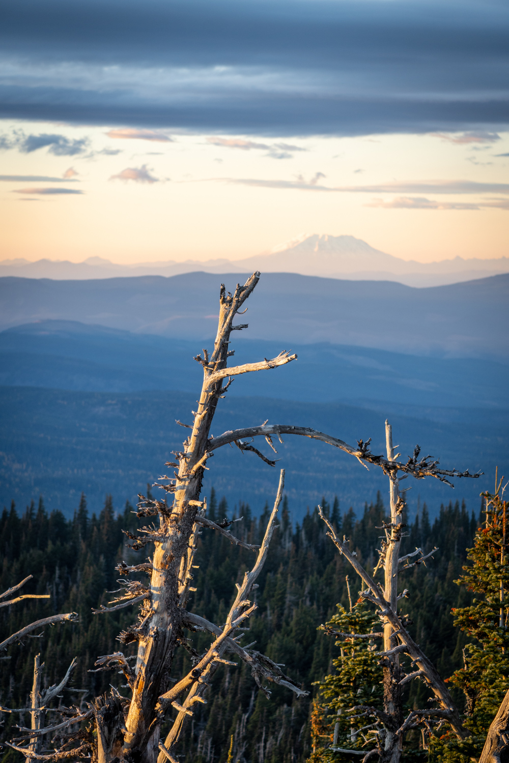
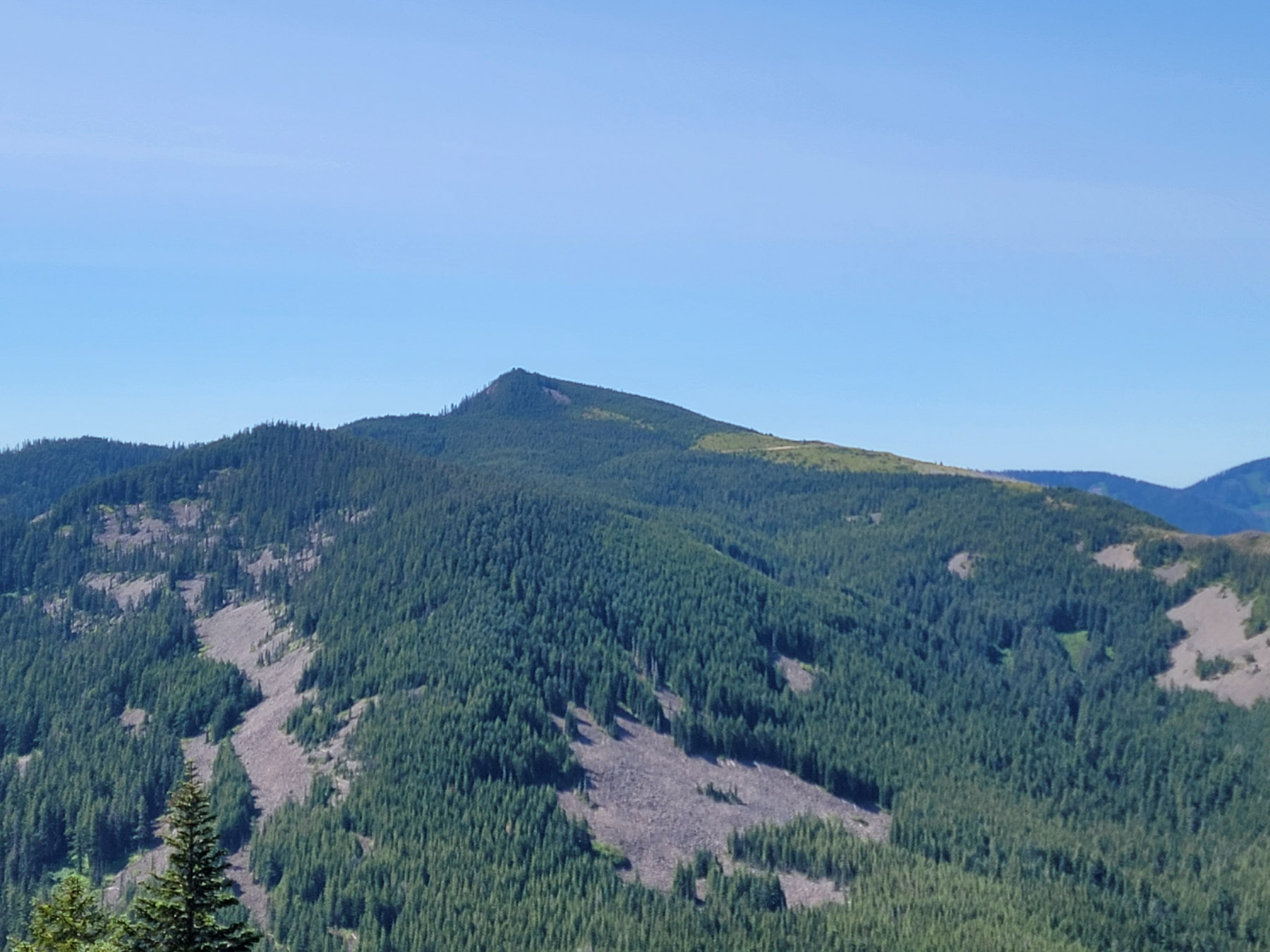
After generously applying sunscreen,  I passed the campground on the PCT the short distance to one of my all time favorite views in the area. The open rocky covered slope of Indian Mountain has a distinct alpine feel, and a panorama the spreads out the Gorge in front of you, beyond the vastness of the Eagle Creek canyon. Helens, Rainier, and Adams are all visible in the north. Big sky views here!

Benson-16
Benson-33

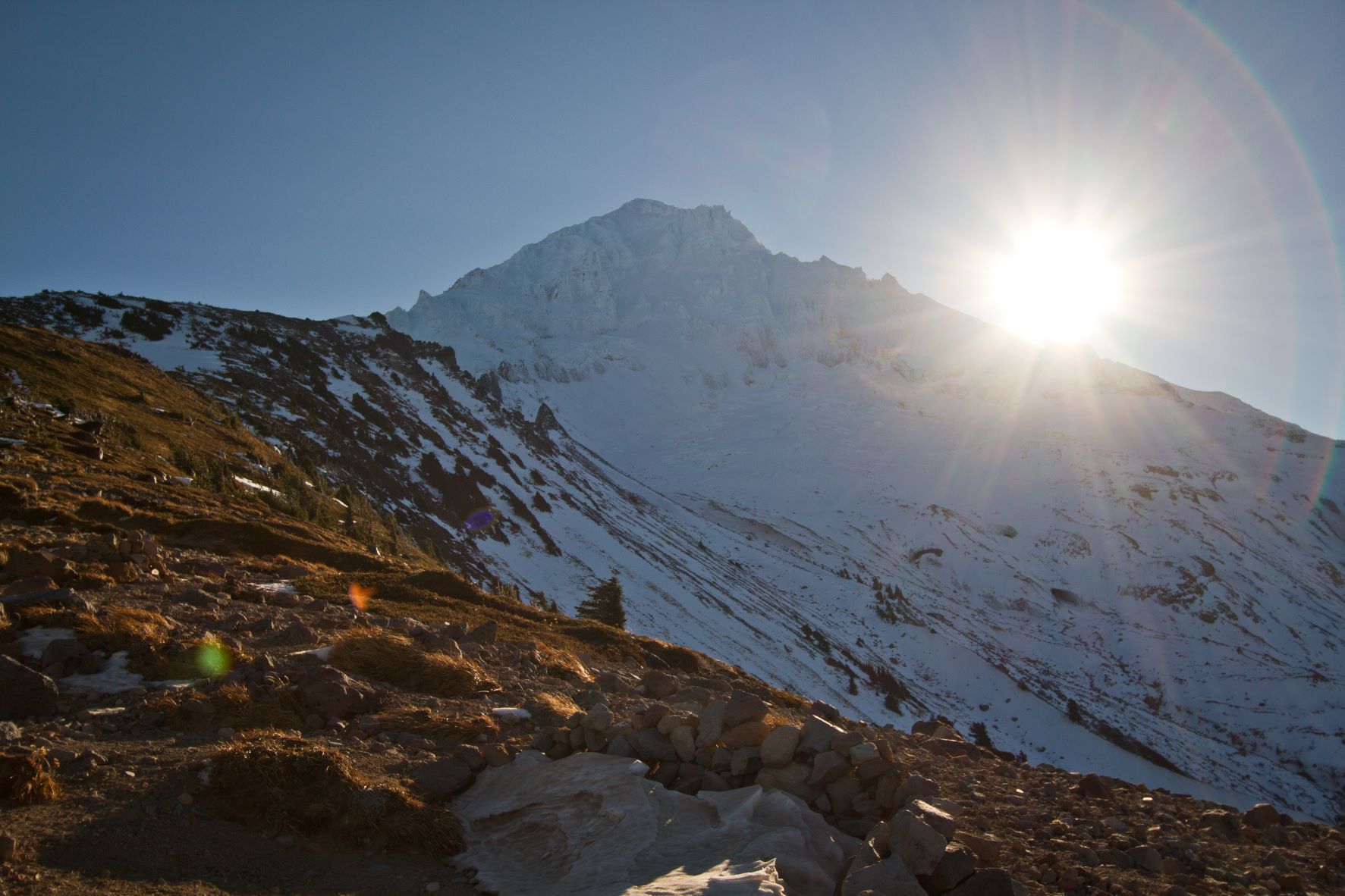
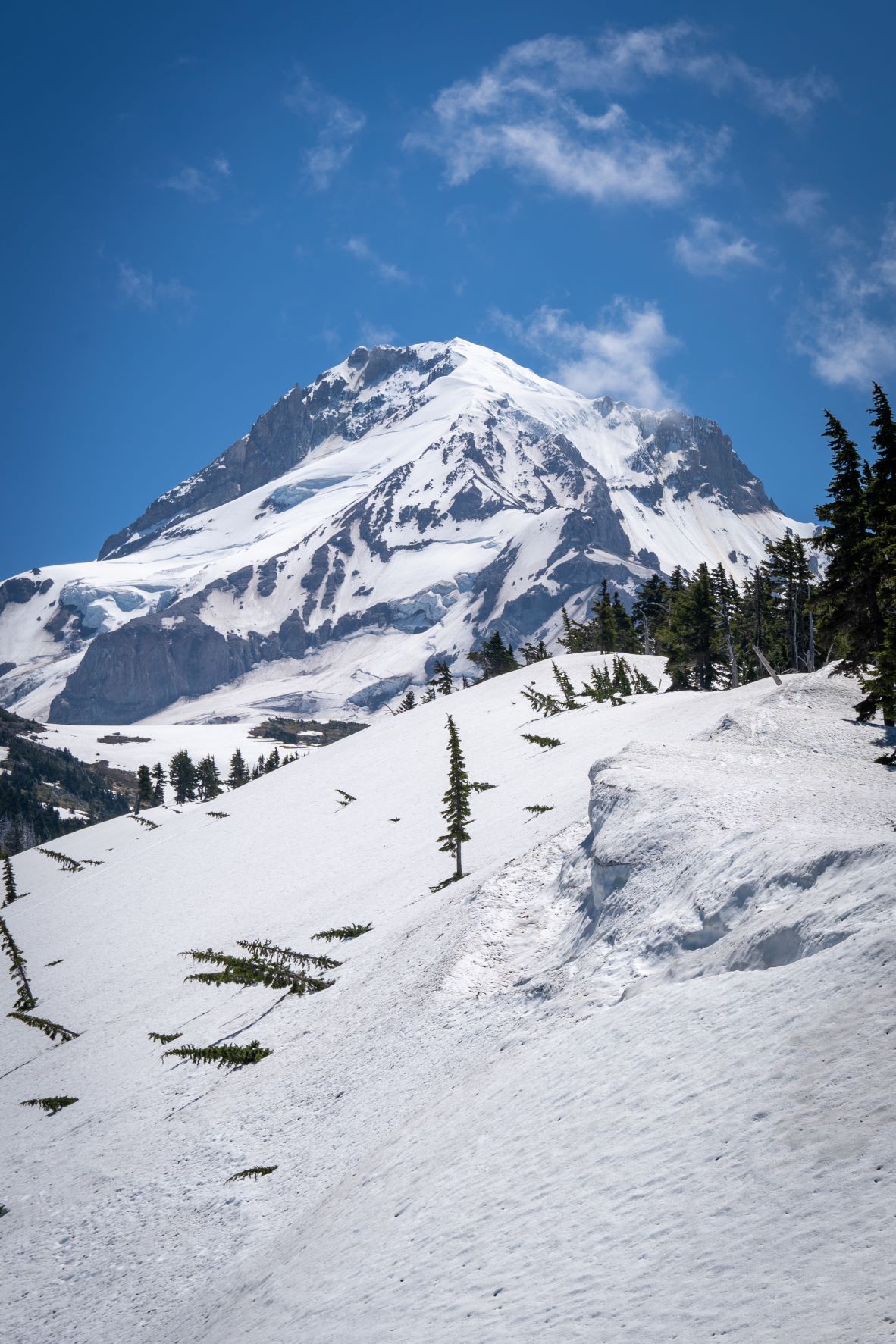
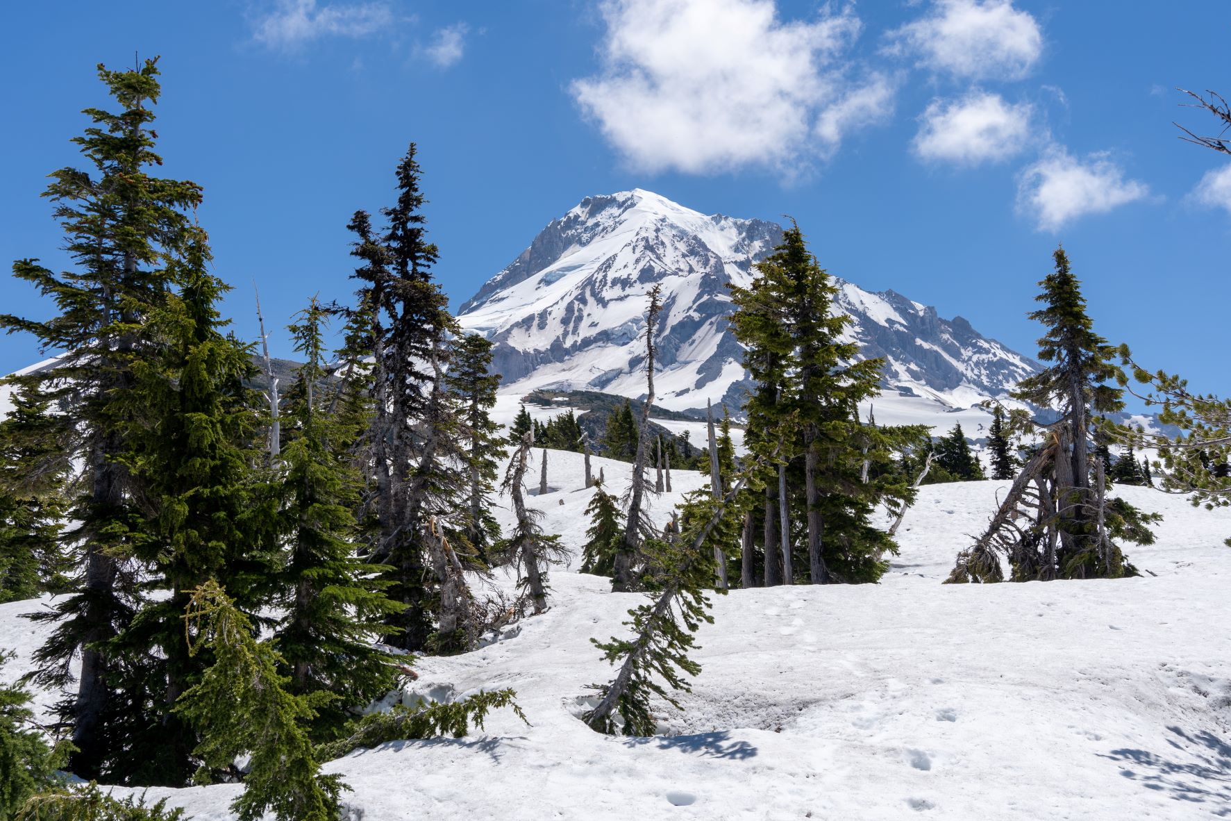
Indian Mountain summit and former lookout site lies less than a mile to the south, so I climbed up for the views of Mt Hood from it’s rocky perch. With the heat of the day really starting to kick in, I was glad that this was the highest elevation for the day, and what remained was nearly all downhill.


Returning to Indian Springs I poked around the old overgrown campground with sites still utilized by PCT hikers, and a pit toilet standing for the adventurous. A spring put water out right over the trail, and I filled up before my long drop. Indian Springs Trail was one of the few remaining stretches of trail I hadn’t covered in the area (that aren’t destroyed or closed by the fire) so it was nice to have some completely new scenery. There is a magnificently large talus field that the trail cuts straight through, before hugging the ridgeline on a descent, finally back down into the burned forest. Despite dozens of trees down, the way is still navigable, although it would be much more of a challenge ascending with a loaded backpack.

Benson-20
Benson-14
Benson-13

The trail meets the Eagle Creek Trail after about 1.8 miles, dropping from around 4200 feet to 2500 feet in elevation. With the drop in elevation came the rise in temperature, and now in the middle of the afternoon, the canyon was really starting to bake. The rest of the descent to the where the trail finally reaches along the creek has substantial overgrowth that will be a constant project for crews to trim back to keep the trail accessible. The salmonberries and rest of the zealous undergrowth will quickly take over if not for the dedication of the trail volunteers and crews that do a tremendous amount of work on the trail.

Benson-12
Benson-11
Benson-10

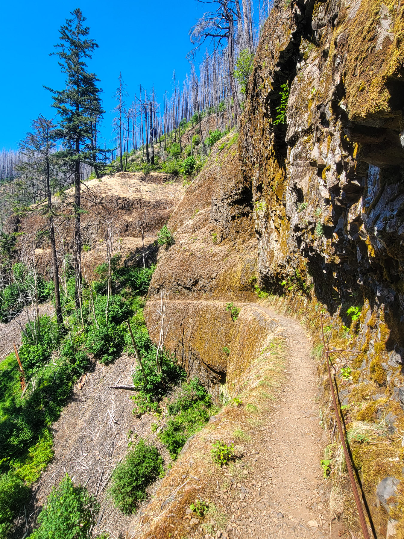
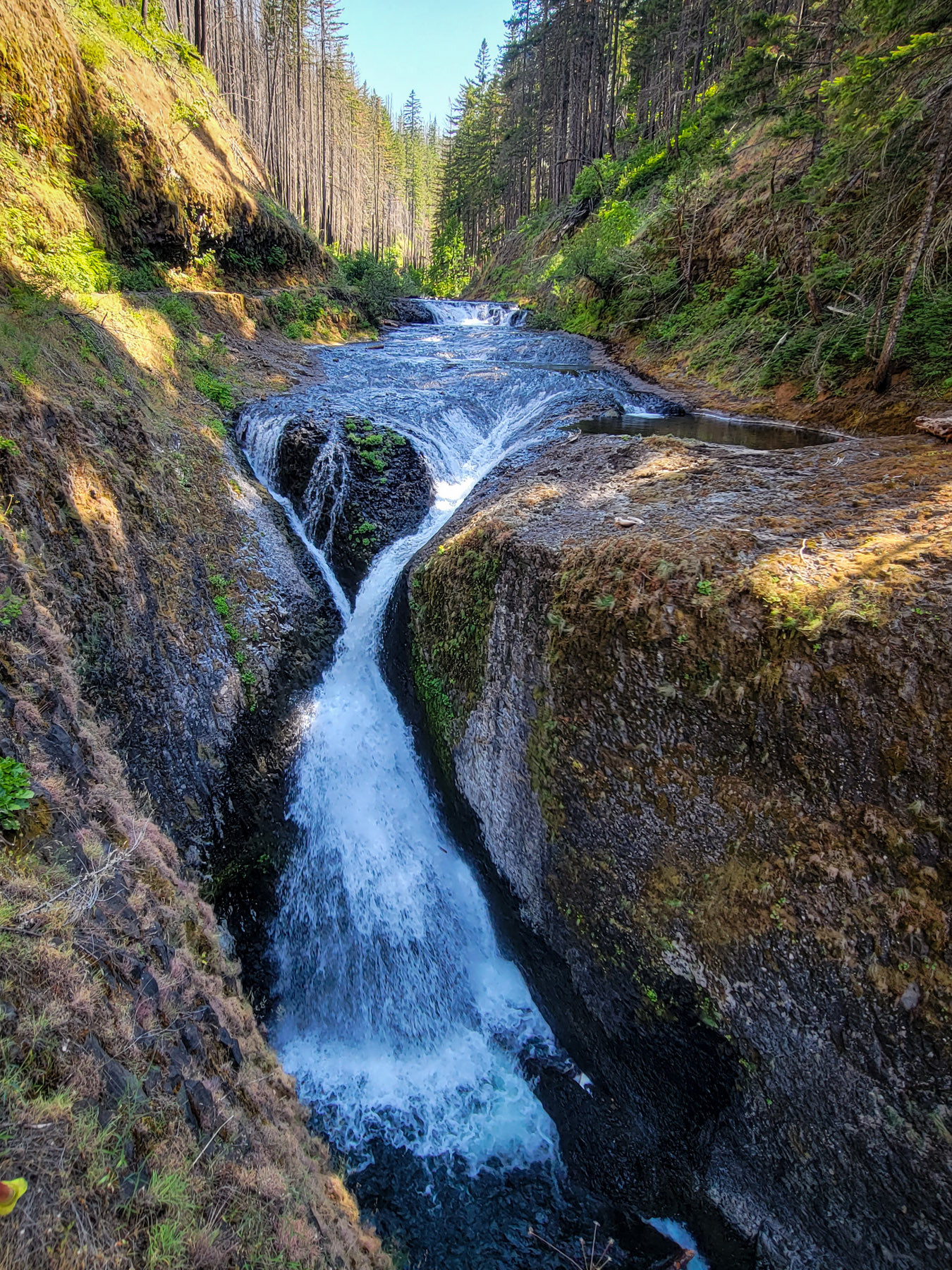
I followed the trail down creek, stopping to record the locations of campsites along the way, and finally got into some shade before arriving at the pools above Twister Falls, the point at which the outstanding geologic magic of the canyon begins (or draws to a close, if you have ascended from the trailhead). With the waterfall corridor, an influx of visitors marveling in the falls, sheer cliffs, and trails cut dramatically out of the lava rock. While the high afternoon sun baked the canyon and slowed my progress to avoid overheating, the angle of the light did provide for some stunning illumination of the canyon and falls along the eastern side.

Benson-09
Benson-08
Benson-07
Benson-06
Benson-05
Benson-04

It’s a magical trail with complex and astounding geology and around every turn is another mind blowing view,  but with the heat pressing high in the 80s I was relieved to reach the obscure standing petrified stump half exposed in the trail that signals the parking lot just a head. From there it was just a few miles back to Cascade Locks along the Historic Highway bike path (where I was delighted to find trailside offerings of blackcaps and thimbleberries), making for a day with a bit over 39 miles and around 5700 feet of climbing.

Benson-03
Benson-02
Benson-01

More Adventures

More Adventures
Benson-27

Beautiful Benson Plateau and Beyond

criterionMarch2023 (26)

Criterion Tract Above the Deschutes

timberline_preview_cloudcap

Mapping the Timberline Trail

ElkCove22 (18)

To The Pinnacle

VistaRidgeJuly1_6

Vista Ridge Snow Trek

6-18Hood1

Changing Seasons on Mount Hood

hoodbuttonview

Utilizing Lidar in Mapping Trails

LostCreekJFW-46

Chehalem Ridge Nature Park

lookoutmtnsunset-3

A Lookout Mountain Night

coeandeliotview-20

Coe Glacier as Winter Draws Near

Criterion Tract Above the Deschutes

Early Spring on the Criterion Tract above the Deschutes

criterionMarch2023 (27)

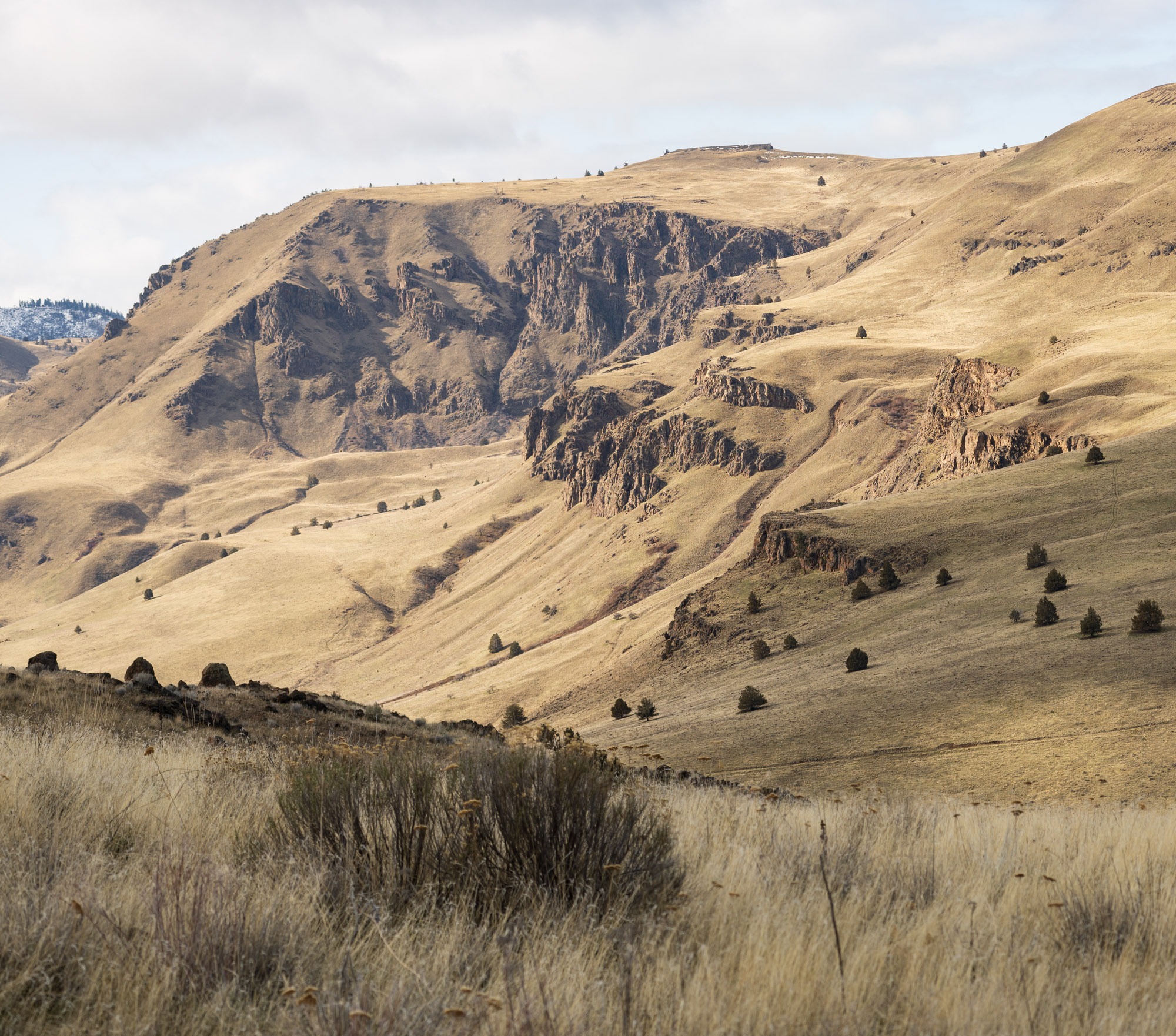
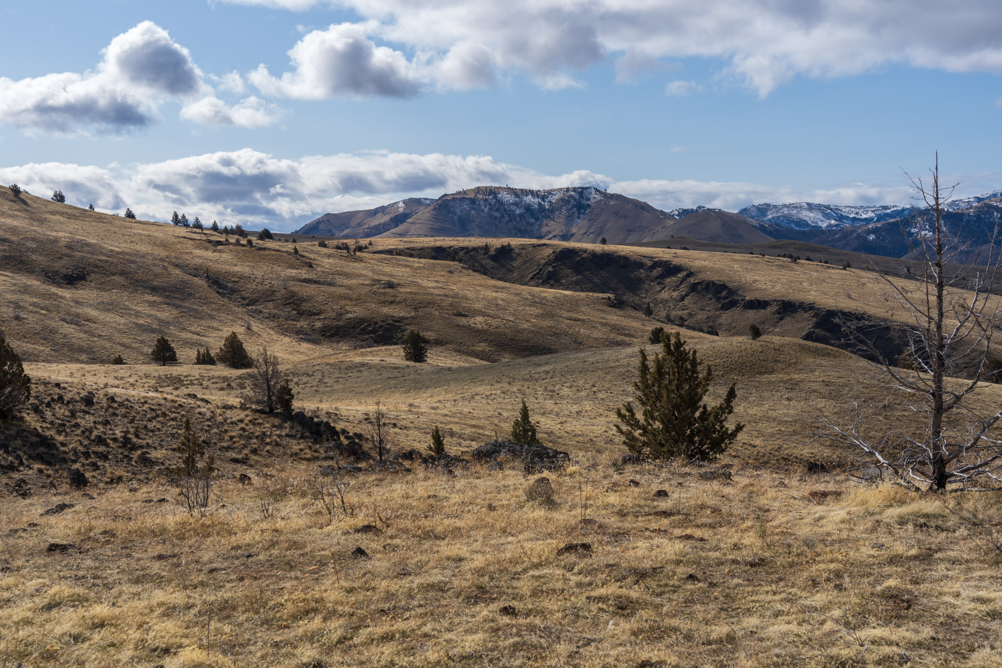
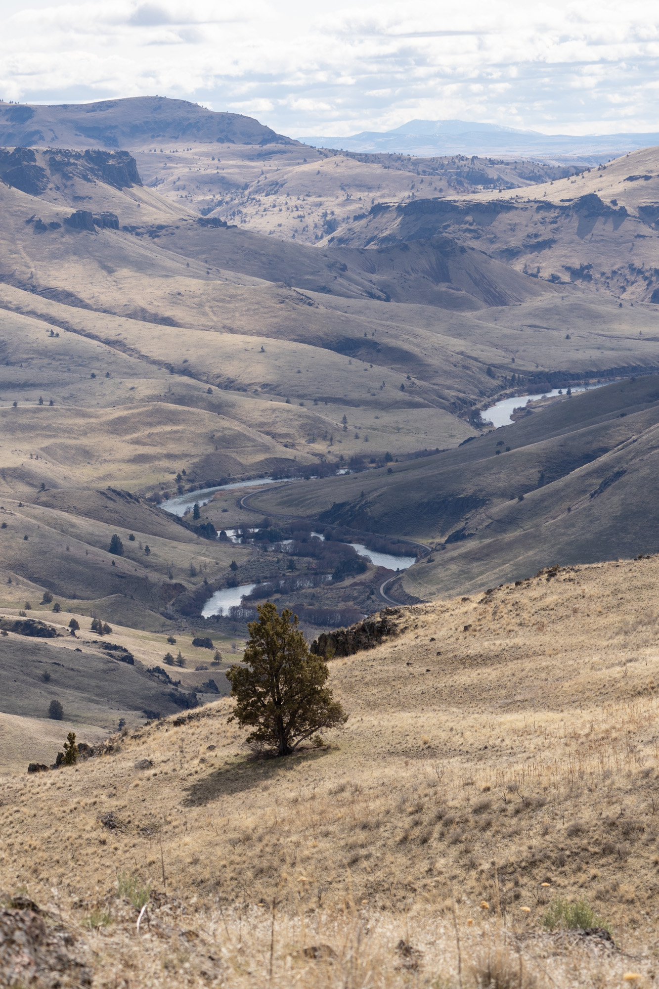
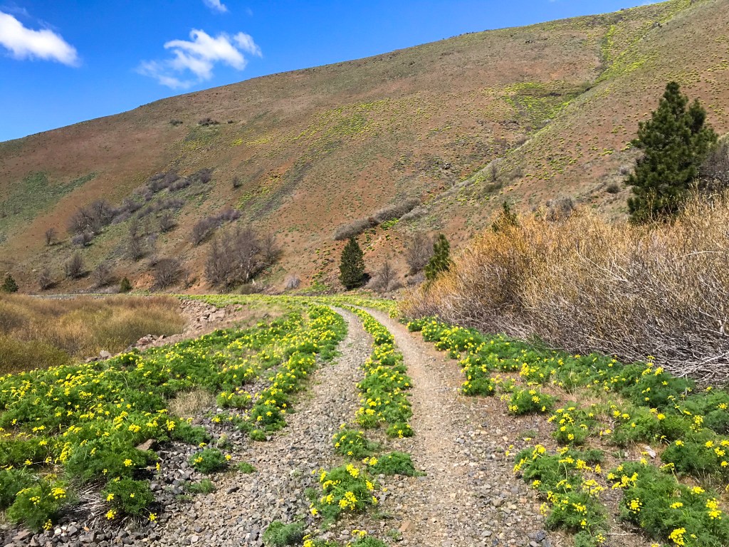
The Criterion Tract, managed by the BLM, sits on the high point bordering Highway 197 as it runs south to Redmond from the Columbia, extending down to the Deschutes River south of Maupin, an expanse of open, lonely terrain with far ranging views of the Columbia River Plateau and the winding river cutting its way through. It’s one of my favorite early spring spots to visit just when things start to warm up and dry out. In mid-March, the new growth of spring has yet to arrive and the landscape is still the muted tans of and warm tones of winter before. Soon, the landscape will be overtaken in lush greens of new growth of grasses blanketing the slopes, dotted with colors of the flowers blooms.

criterionMarch2023 (1)
criterionMarch2023 (2)
criterionMarch2023 (3)
criterionMarch2023 (4)
criterionMarch2023 (6)

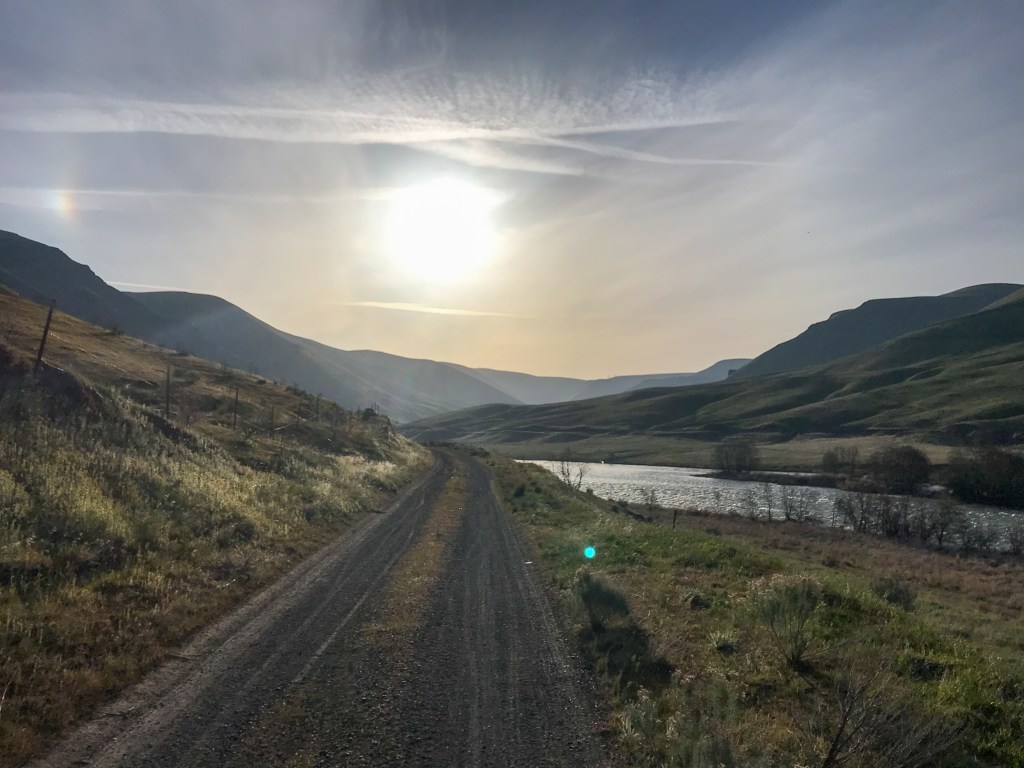
In summer it is dry and the palette of colors once more drain from the landscape. Water is scarce in the tract above the river, even now and while there are pools that collect in some of the tight canyons, cattle patrol the area, and any sources are utilized by them as well. With a forecast warm day with ample sunshine, I decided to head out east. Rain falling in the Gorge and Cascades broke apart to the east of Hood River and dramatic scattered clouds stretched high across the Columbia Plateau. I started in the morning from the river at Locked Gate Day Use Area and headed up, climbing up amongst sage brush and scattered Junipers while meadowlarks sang and darted about.

criterionMarch2023 (9)
criterionMarch2023 (8)
criterionMarch2023 (7)
criterionMarch2023 (10)
criterionMarch2023 (12)
criterionMarch2023 (14)
criterionMarch2023 (15)

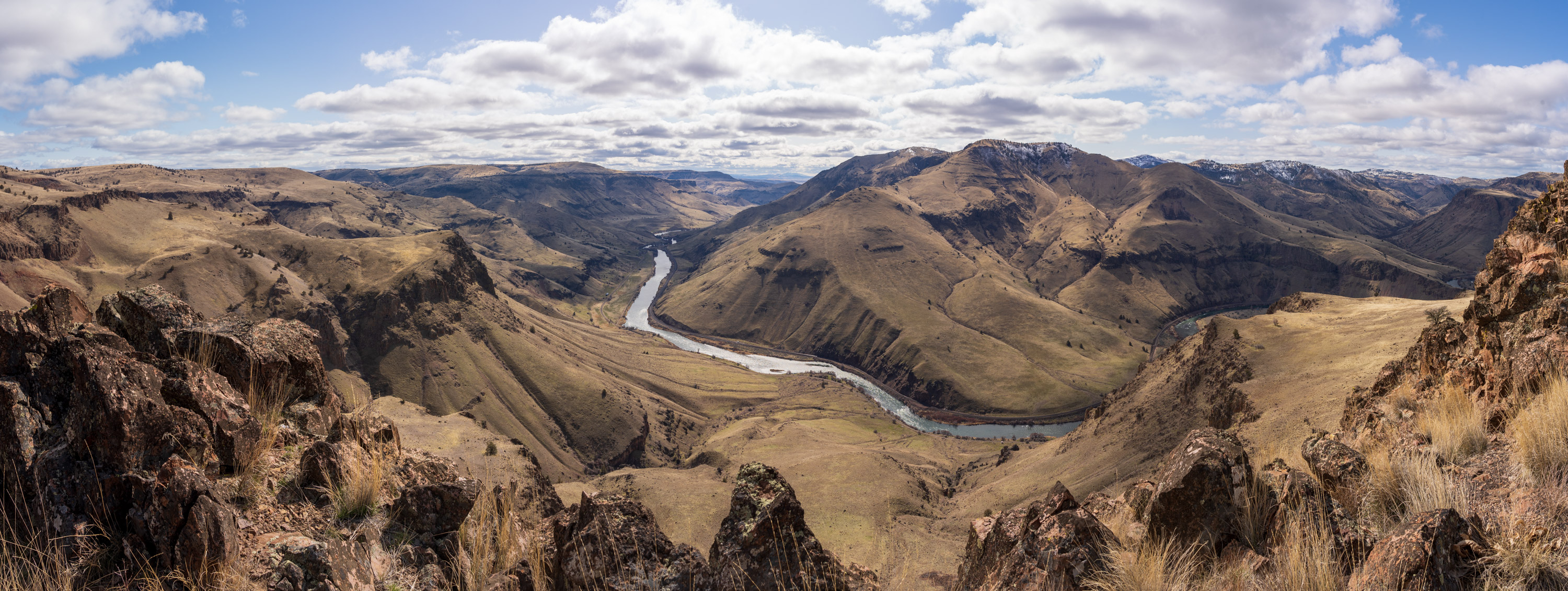
Before long as the way climbs up, I left the old path to chase the views of the river from the rimrock cliffs that cut immediately and precipitously from the hillsides. The Deschutes winds its way below, and the expansive open hillsides climbing out of the canyon across the river undulate, dotted sparsely by junipers. I cut in and out of canyons, before arriving at the open landscape ascending up to Stag Point and the single juniper near the hilltop, which I crossed to arrive at the point, the windiest spot in an otherwise mostly calm day.

criterionMarch2023 (16)

From there I contoured around the cliffs to the southwest, eventually scrambling down through a break in the cliffs to descend onto a lower bench and out to a precipice over the river. Scattered across the landscape are interesting rocks formed amongst the lava flows, now exposed on the broken soils.

criterionMarch2023 (18)
criterionMarch2023 (25)
criterionMarch2023 (19)
criterionMarch2023 (21)
criterionMarch2023 (23)
criterionMarch2023 (26)
criterionMarch2023 (25)
criterionMarch2023 (32)
criterionMarch2023 (34)
criterionMarch2023 (33)
criterionMarch2023 (35)
criterionMarch2023 (36)
criterionMarch2023 (39)

My total explorations for the day totaled over 15 miles and 3400 feet of elevation gained, mostly off trail. As I neared the river, I took a moment to pause and enjoy the overwhelming stillness and silence of the plateau, soaking in the warmth of a sun and warmth that has been sorely missed this winter, the deep quiet only broken by the intermittent singing of the Meadowlarks and the distant chortling of Chukars.

criterionMarch2023 (40)
criterionMarch2023 (41)

Thanks for following my explorations! Consider visiting my online store for fun cartography PNW inspired stickers, and my Mount Hood Field Map. Purchases help to keep this site, and my Mt Hood trail status page running (and expanding) and advertisement free. Thanks!

More Adventures

More Adventures
BaldMtn-2

Bald Mountain and Ramona Falls

hoodmtn-3

Hood River Mountain

2021-47

PCT North of Carson

2021-32

Dalles Mountain Ranch Balsamroot Extravaganza

2021-210

Swale Canyon

deschutes-12

Deschutes River Trail 50 miler

klickitat-15

Klickitat River History Exploring- Dry Ice and Redwoods

criterion-15

BLM Criterion Tract

waterfalls-4

Gorge Falls- Elowah, Wahclella and more

coyotewall-9

Coyote Wall Spring

Mapping the Timberline Trail

Mapping the Timberline Trail

Mapping the Timberline Trail

James Wilson

An exploration of my personal journey leading to mapping the Timberline Trail around Mount Hood and forming Elevation Changes Cartographic

My first encounter with the Timberline Trail was on a fall trip to McNeil Point from the Top Spur trailhead. It was after the first snows of the year, where much of the accumulation had melted off but enough clung about to add emphasis to the transition of seasons. Later as I gained experiences on the mountain, I would learn how popular the route is with hikers making the pilgrimage to the stone shelter perched up on the ridge overlooking the Muddy Fork with the Sandy Glacier looming beyond. I met no other hikers along the route this journey, a few miles of trail where years later, during the summer height of global pandemic I’d count near 100 travelers on their way.

McNeilptfall

I couldn’t have known back then to spend more time observing the contours, crevasses, and expanse of the Sandy Glacier, to give myself reference to the vast changes that would occur, and were occurring, including the collapse of the glacier cave entrances system and hastening retreat of ice up the mountain.

snowcavescollapse

Retreat of Sandy Glacier. (reference rock formation highlighted in yellow)

I didn’t know about the namesake of the point, Fred McNeil, or of his love and dedication to a life in the mountains, but on that first trip above timberline on Mt. Hood where I met the rays of the sun stretching across the mountain’s shoulder above Illumination Rock, cutting through fog and cloud and scattering on icy snow remnants like fields of diamonds, there and then I undoubtably became, as categorized in McNeil’s words, “a member of the horde who have succumbed to the mystic spell of the snowcap.”

hobanner-3

I'd yet to learn the history of the construction of the over 90-year-old stone shelter perched there, or the other shelters, some still standing around and some erased completely by the mountain’s forces. I passed by views of what would become one of my favorite geologic features- the Sandy Glacier Volcano, distinguishable enroute from along Bald Mountain Ridge where the dark gnarled and twisted exposure of ancient lavas and pyroclastic materials is visible cut through by the Muddy Fork and overlain by Mt. Hoods Yocum Ridge flows.

ho-27

A look at the remains of the ancient Sandy Glacier Volcano

This ancient system of rock is now the last visible remnants of the volcano that preceded the rise of Mt. Hood; a once immense mountain now overtaken and demolished by time, nearly erased by the continued creation of earth spurred by unfathomably deep subduction.


I’d learn more of history and geography of the mountain across the following years, from thousands of miles exploring the surrounding forest and pouring over every book, map, article, blog post, research paper, and internet archive I could access. I feel eternally lucky to have been able to spend so much time immersed in the mountain and find myself constantly enchanted by new explorations and new insights into the history, geology, and ecology of the area.  At some point it I started to enjoy the sharing of knowledge I had gained and gathered, so that others could experience some of the joy, revelation, and wonder. I believe that having more knowledge of the landscape and its history can deepen the connection visitors form with a place, helping them to tap into the vast power to be had in the mountains, a transcendence of experience that will stay with them, go home with them, and live on in their minds and actions.

lauranceloop (11)

One section of the Pacific Crest Trail just south of the Lodge that shares the loop with the Timberline Trail passes along the edge of great valley cut through by the western branch of the White River, pouring over and cutting through the largely unconsolidated layers of pyroclastic debris. Along the way are a handful of spots where the abrupt edge plummets, offering expansive views of the south face and terrain sculpted by the White River Glacier. Just across the valley, on a plateau known as Mesa Terrace that separates the two glacier flows, a line of darker debris- soil, stretches horizontally about halfway up. Emerging from this layer, if one stops to look, can be spotted several large, whitened stumps and logs. They are trees, the soil level an ancient forest floor flattened in an instant by volcanic blast and buried under pyroclastic debris then uncovered by the great forces of time and erosion as the White River carved its way through debris and ancient forest floor, and previous debris below.  Elements of the landscape like these connect us with the vastness and power of the mountains past, they hint at the future, as further erosion will scrub them from the landscape, erasing the ability to have this view and understanding.  These encounters that unlock past and future can ground us in the present- acknowledging and contemplating these temporal relics offer the opportunity to reflect on the single moments in time we have with the mountain, with the world, with each other. We fit on the timeline of the mountain: we are here now, with these forests, and these slopes. These landscapes, and we won’t always be as we are now.

buriedForestWR

Exposure of forest buried by pyroclastic flows

WRBuriedForest

Expanse of Mesa Terrace sandwiched between two branches feeding the White River, the band of buried forest visible midway.

When I set out for a long day hike on my first full circuit of the mountain following the Timberline Trail National Historic Trail I had been gaining strength as a runner and hiker, but the mileage was still beyond what I had ever accomplished in a day. I was still very new to the area around the mountain, was experiencing most of the wilderness along the trail for the first time. Setting out at dawn, I carried gear and supplies to stay overnight if needed and proceeded clockwise on the trail, so much of the terrain new and inspiring to me. Near Cooper Spur late in the afternoon I decided to push on despite my dwindling pace. I crossed a raging White River in complete darkness- a space I’d not seen yet in daylight. Frigid glacier meltwater up to my knees, I pressed across, my world a solitary bubble of white ash and rock illuminated in my headlamp. I came to the second branch, grateful for finally finding cairns signaling the exit route. Afterward, having ascended up along White River to Timberline Lodge, exhausted, I felt accomplished, strong, and with a greater connection to the mountain formed by literally connecting the dots on the trail through its forests. Crossing the creeks and streams in every drainage flowing down from glaciers nestled above on the mountain is an intimate way to learn of the power of water, drainage, and past volcanism emanating from mountain.

Pasque

Whimsical magic of the Western Pasqueflower

Then, slowly over that winter and sharply over the next summer, that sense of strength would trickle away, and I spent less time out around the mountain or outside in general. By the following winter merely walking a mile along the urban creek path where I live outside Portland would feel a comparable effort to that 41-mile circuit on Mt. Hood.  I felt my energy crumbled, and my mind absolutely scrambled. Months and months of trying to find explanations for pain I was experiencing, for the eldritch artifacts that would occasionally explode in my vision, for my energy laid to waste, had provided no answers, and mostly shrugs and dismissal from doctors until a vision test revealed a serious degradation of my field of vision.

Quite quickly then the wheels of the diagnostic machine started turning and before the end of the year we discovered the 3-centimeter mass attached to my pituitary gland in the center of my head, putting pressure on my optic nerve and invading my sinuses. It was a tumor secreting excess of the hormone prolactin, with my levels more than 100 times the normal, and suppressing the levels of other important hormones. As far as tumors in the head go, it was a lucky type to have, as they can be highly responsive to chemical treatment, shrinking in size over time in response to medication.

I-4592

Tamanawas Falls on North Fork Cold Spring Creek

During the time I spent regaining the ability to function outside and in my head, I immersed myself in researching and learning about the mountain and surrounding areas in the forest, delving into any source I could find, especially the works of mountain lore by Jack Grauer and Fred McNeil. I planned out routes and trips, studying modern and historical maps. I drew on the peace, fulfillment, and wonder of the experience from years before circumnavigating Mt. Hood as a goal of what I wanted to achieve again, and advance beyond. I felt I had barely encountered the mountain, and having that focus and desire to explore helped me take the process of allowing my body to heal in stride. By the next spring I started building up mileage underfoot and time outside, exploring the trails and wild areas around Mt. Hood, and in summer was exploring longer routes, and becoming more comfortable on off trail explorations. I started chronicling many of these adventures on this website, and after some large mileage days felt like pressing for a complete loop of the Timberline Trail mid-August. I went counterclockwise this time and while it was a challenge and outright struggle at moments, I ending the day feeling stronger, and better adapted to being on the trail than my first trip, which was a monumental comparison for myself.

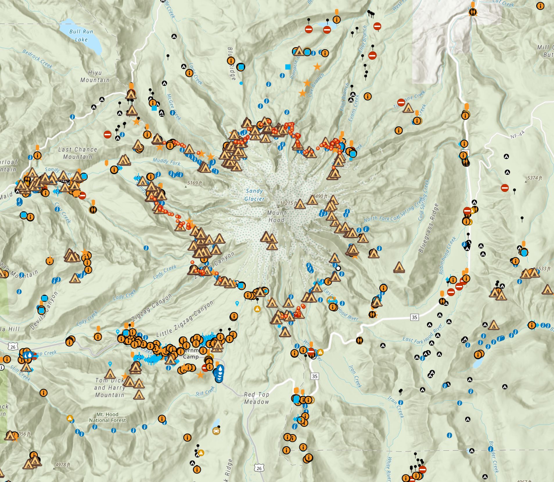
eliotmoonbanner-16

The next summer I covered the complete route of Timberline Trail three different times, each just a couple of weeks apart, which gave me perspective on how transient the individualized experience is in relation to the colors and palette of wildflowers and vegetation erupting and fading in bloom as the different species peak and wane at different times. I also started adding an element of documentation and data collection. With no real end goal I started taking photos and locations of campsites and the mountains hydrography along the trail.  Taking advantage of the wordlwide pandemic to take some online courses towards maybe finally finishing a degree, at Portland Community College I somewhat randomly stumbled upon their Geographic Information Systems program and got hooked on the utilization of GIS to interpret and convey data.

moraine-36-2

Glisan Creek near the McNeil Pt. Trail

Suddenly I had the tools to organize and visualize the data and knowledge I was acquiring of the mountain, and began assembling it all together in a map. The project started out as making the map that I wish I had with me back when I first headed out to McNeil Point years before.  As my work continued, I was becoming enthralled with the utilization of cartography to form a deeper connection between visitors and the landscape. My next few loops around the mountain my time on foot grew longer again as I spent time poking around the trail locating more campsites and formalizing hydrographic information with the goal of highlighting all the locations where water is very likely to be found during the prime late summer backpacking season. Availability of campsites along the trail was something I was learning from hikers seeking trail information was a stressor in planning a trip, which could push backpackers to congregate around a few select camping locations they gathered information on.  With the goal in mind of helping to spread out campers and minimizing overuse or new environmental impacts, I sought to document and display many of the established camp spots scattered all along.  More than a few day trips and explorations were undertaken just to make minor refinements, such as locating the source of South Fork Cold Spring Creek.

datacollected

A sampling of data collected around MHNF. ESRI basemap

Timberline Trail detail

A view of the Bald Mountain area on my map.

I formed Elevation Changes Cartographic LLC as a professional endeavor to focus on data collection and building mapping products that display and interpret the environment for recreational visitors.


In my stylistic choices, I set out to make a map whose elements would be interpretable to new hikers whose only experience with trail maps may have been from phone apps, while still being enjoyable for veterans of navigation who, like myself remember the days of piecing together USGS quads. The backside of the map references 25 specific historical, geological and environmental spots of significance or interest for those exploring or learning about the mountain, and tells their stories.  I've also included coverage of some of the most frequent subjects hikers have questions about when planning a trip and current regulations for visiting and staying in the Mount Hood Wilderness.


Over this last summer, I released a digital version of the map on Avenza maps and receiving feedback from backpackers who felt that the map added to their experience and aided in their enjoyment of the trail was incredibly rewarding.

TimberlineBackpackAvenzaPreview

A digital format of my 2022 map released through the Avenza Maps app

The process of setting up as a business, reformatting data and map elements for publication, building an online storefront with the capability of releasing a physical form of my map has been another step into the unknown for me, and now I’m working on getting them marketed and out into the hands and backpacks of those who will enjoy them. I greatly appreciate the support of everyone who has helped me along the way and have been supportive and enthusiastic about the project. Spending time and miles along the Timberline Trail over these years, often enraptured in the presence of Mt. Hood, has been substantive therapy, solace, and a source of wonderment for me, and I hope this map will help others to explore and connect with the mountain.

Support and purchase of my maps and stickers goes into keeping me making and releasing more maps (hopefully printed wall maps soon enough!) and continue my fieldwork of collecting and refining trail, roads, and feature data on our public natural landscape.

ECCBanner5

long days and pleasant nights -

JFW
muddyforknf-08

Hiking, backpacking, and exploring involve partaking in risk. This map is meant to help planning your experiences, but it is up to individuals to use best judgment and acquire the proper additional knowledge and skills to remain safe. Conditions on trails and roads can change dramatically from year to year and with weather. Unofficial Trails noted on maps are routes well established by users but may see no maintenance and may be more challenging than a maintained trail. Check all campgrounds for potential hazards, especially in inclement weather. Map users are solely responsible for their actions and decisions while using this map, assuming all the risk while referencing and utilizing this map. The map user waives any and all claim of negligence or responsibility for adverse happenings, accidents, or incidents against the map creators and Elevation Changes Cartographic LLC.

To The Pinnacle

To The Pinnacle

ElkCove22 (25)

My goal for the the day was to trek up the Elk Cove Trail now that the road to access the trailhead has been reopened after having washed by the Eliot Branch and check on snow levels around the Timberline Trail. Starting near mid-day it was a warm slow trek up through the remains of the Dollar Lake Fire. The trail is well maintained until the wilderness boundary, after which there are a good number of trees down on the trail and encroaching brush. Some slight snow patches approaching Elk Cove.

ElkCove22 (1)
ElkCove22 (2)
ElkCove22 (3)
ElkCove22 (4)
ElkCove22 (5)
ElkCove22 (6)

Elk Cove is mostly melted out around the Timberline Trail junction, and flowers starting to bloom.  I first headed east on the trail, and in the 0.8 miles there was only a few short patches of snow, and more than a dozen logs down on the trail. Coe Branch was flowing muddy and powerful, and there I encountered a hiker who had just come across the stretch from Eliot, which they mentioned was a fast deep ford and a rough scramble. Their details are that the chutes crossing the arms of Compass Creek and side slopes along the way were hold a lot of deep, steep snow with sketchy exposure.

ElkCove22 (7)
ElkCove22 (8)

After heading back to Elk Cove, I proceeded to cross Elk Cove Creek and follow the trail where it cuts uphill across the slopes of talus and trail below the cliffs of 99 Ridge. Much of this stretch has steep snow coverage, with some long exposure in parts, but was manageable by kicking steps into the malleable, softer snow, just slow going. Found a good example of some of the hazards of snow melt along the trail where I was able to punch a large pocket into some hollowed out snow cover. Right were the trail cuts to the west and is north facing, a vast stretch of deep snow along the trail that was very shaded and sloped opened up, with much more exposure and snow down below as far into the terrain as I could see. Frustratingly I seem to have not taken any photos of the view as I was assessing the conditions. Both myself and the hiker I met at Coe Branch called it there and headed back to Elk Cove.

ElkCove22 (9)
ElkCove22 (14)
ElkCove22 (13)
ElkCove22 (10)
ElkCove22 (11)
ElkCove22 (15)

Heading back down the Elk Cove Trail I decided I wasn't quite finished exploring, and cut across the expanse of the the Dollar Lake Fire about a mile to the back of the Pinnacle. From behind the Pinnacle looks more like a hill, but looking at it from the north it is an imposing feature of shear relief - a volcanic plug of basaltic andesite with hues of red along its jagged rocky precipice. During the Dollar Lake Fire in 2011 The Pinnacle was a beacon of flame, all the trees clinging to its backside burned. A handful of trees clinging to the steep northside survived the fire.

ElkCove22 (16)
ElkCove22 (17)
ElkCove22 (18)
ElkCove22 (19)

I explored around the back of the Pinnacle, clambering up a ways to get some views and descending before things got too much like rock climbing.

ElkCove22 (20)
ElkCove22 (21)
ElkCove22 (24)
ElkCove22 (22)

From there, I pressed down and continued my westward trek to the Pinnacle Ridge Trail, and headed back uphill towards the Timberline Trail. The path is faint and overgrown in many sections, and a bit hard to follow through the very soggy Pinnacle Meadows. Back around 5300 feet the snowpack became extensive, and I followed the general way up to the Timberline Trail. Between The Pinnacle Ridge Trail and Wyeast Basin the trail has short sections not covered by snow, and then many feet in the channels and chutes coming coming down from Barrett Spur. One of these was steep enough that I trekked up and over to a flatter section, but in general not too much exposure, although GPS check ins are helpful as the trail is hidden.

ElkCove22 (26)
ElkCove22 (27)
ElkCove22 (28)

At Wyeast Basin the trail is free of snow but covered in overland flow from the snow melt. Lots deep snow all up the basin, and on the trail heading up and over Vista Ridge, which will require a careful ascent for a good bit longer. With the sun starting to sink, I headed back toward the Pinnacle Ridge Trail, and chose the quicker descent just following snow down one of the long wide open gentle chutes, until it became thin enough I could hear the creek underneath and see it starting to thin out and tunnel around the flow, at which point I headed up and into the forest to refined the trail.

ElkCove22 (29)
ElkCove22 (31)
ElkCove22 (30)

The Pinnacle Ridge Trail has a lot of overgrowth in parts, water flow caused erosion to the tread and many logs down in the fire scarred area, but is generally good to follow.  It wraps down alongside The Pinnacle, giving views of the cliffs and jagged rock structures I was on the backside of earlier. Approaching the Wilderness boundary there is crosscut work opening up the trail, and outside of the wilderness the trail is well maintained. Hopefully the work will continue up to the Timberline to preserve the trail.

ElkCove22 (32)
ElkCove22 (33)
ElkCove22 (34)

With the sun sinking down to cast a warm glow on the north face of Mount Hood, I arrived at the Pinnacle Ridge Trailhead, and headed down into the clear cut for a shortcut back to the Elk Cove trailhead.  I stirred up a nighthawk to burst from below my feet and take wing to the evening sky. A connector trail really needs to be constructed here to link the Elk Cove and Pinnacle Ridge Trails for a better loop. It would provide an opportunity for an easily accessible outstanding viewpoint of the north side of the mountain.

ElkCove22 (35)

Cautionary Note: The description and routes I described here utilizes off trail travel through burned terrain, here countless hazards and challenges to navigation can be present. Always be prepared and have the skills and gear to properly mitigate the risks you may encounter.

ElkCove22 (36)

More Adventures

More Adventures
Benson-27

Beautiful Benson Plateau and Beyond

criterionMarch2023 (26)

Criterion Tract Above the Deschutes

timberline_preview_cloudcap

Mapping the Timberline Trail

ElkCove22 (18)

To The Pinnacle

VistaRidgeJuly1_6

Vista Ridge Snow Trek

6-18Hood1

Changing Seasons on Mount Hood

hoodbuttonview

Utilizing Lidar in Mapping Trails

LostCreekJFW-46

Chehalem Ridge Nature Park

lookoutmtnsunset-3

A Lookout Mountain Night

coeandeliotview-20

Coe Glacier as Winter Draws Near

Vista Ridge Snow Trek

A Vista Ridge Snow Trek

VistaRidgeJuly1_11-hr

With snow levels receding a bit, I headed on the long drive out to the Vista Ridge Trailhead on the northern side of Mount Hood. Grading and graveling roadwork that was finished last fall have made the journey on FS-18 from Lolo Pass a much more pleasant experience by eliminating the endless procession of potholes. The road was clear all the way to the trailhead, which was baking in the mid day sun.

VistaRidgeJuly1_1

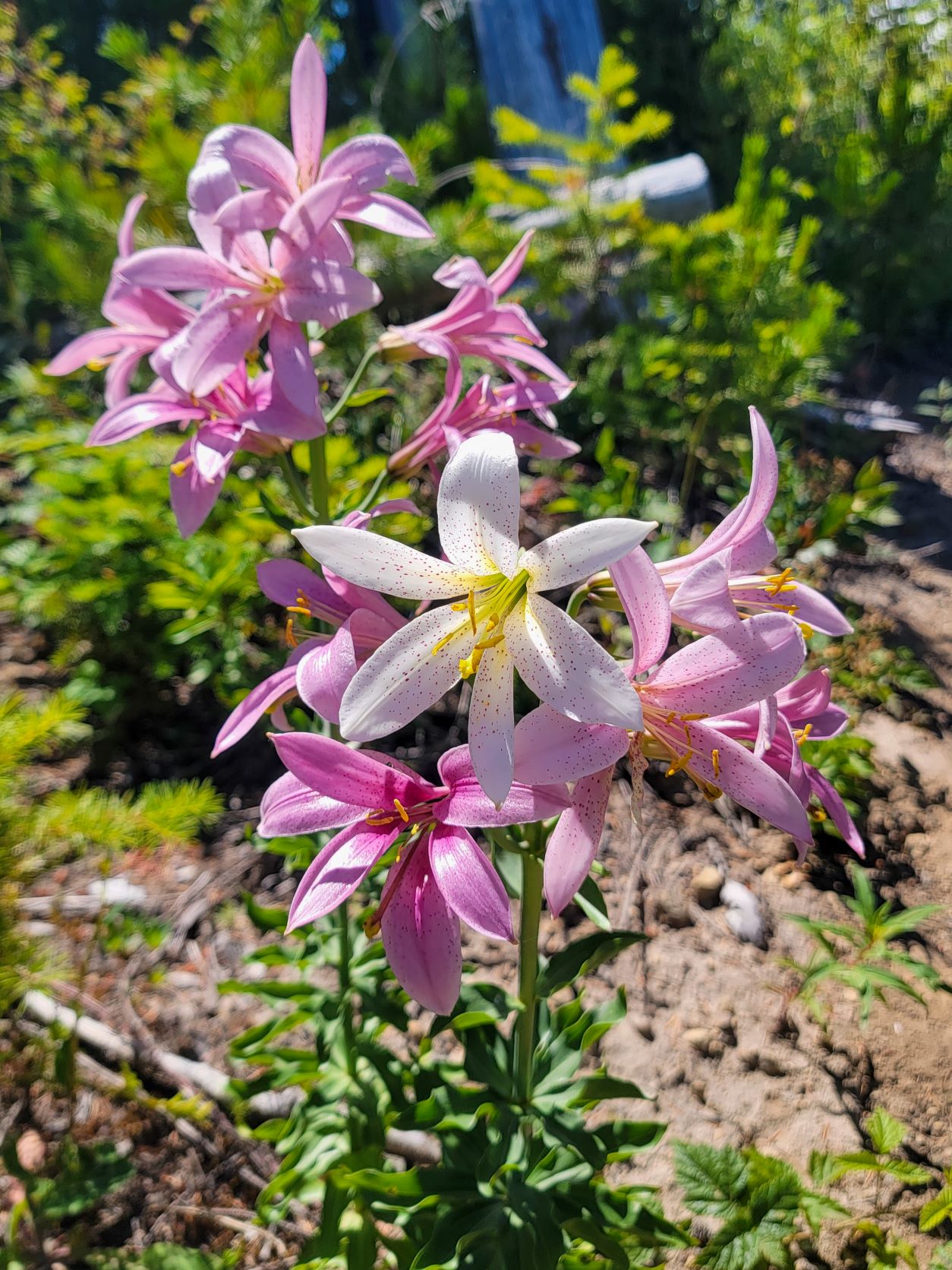
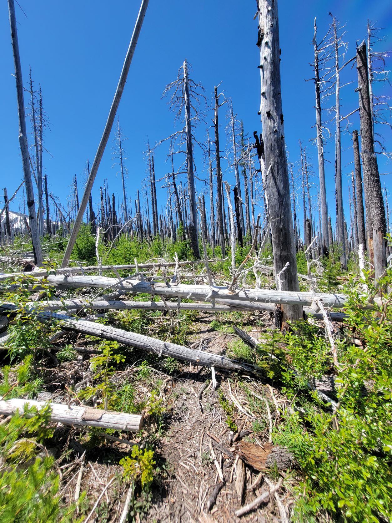
The climb up through the forest leads to the Wilderness Boundary and the edge of the Dollar Lake burn from 2011. Through the vibrant undergrowth below the standing white forest the Avalanche Lilies, which thrive in such post burn environments, where blooming at their prime. Snow began on the trail after about 1.7 miles, around 5200 feet, and became expansive after that.

VistaRidgeJuly1_2
VistaRidgeJuly1_3
VistaRidgeJuly1_4
VistaRidgeJuly1_5
VistaRidgeJuly1_6

Avalanche Lilies

Snow became several feet deep, in waves and swells of drifts and funneling tree wells. To the west side of the ridge some melted out forest was visible, but on the east and looking out over the expanse of Wyeast Basin and up towards Barrett Spur was just a great solid expanse of snow.

VistaRidgeJuly1_7
VistaRidgeJuly1_8

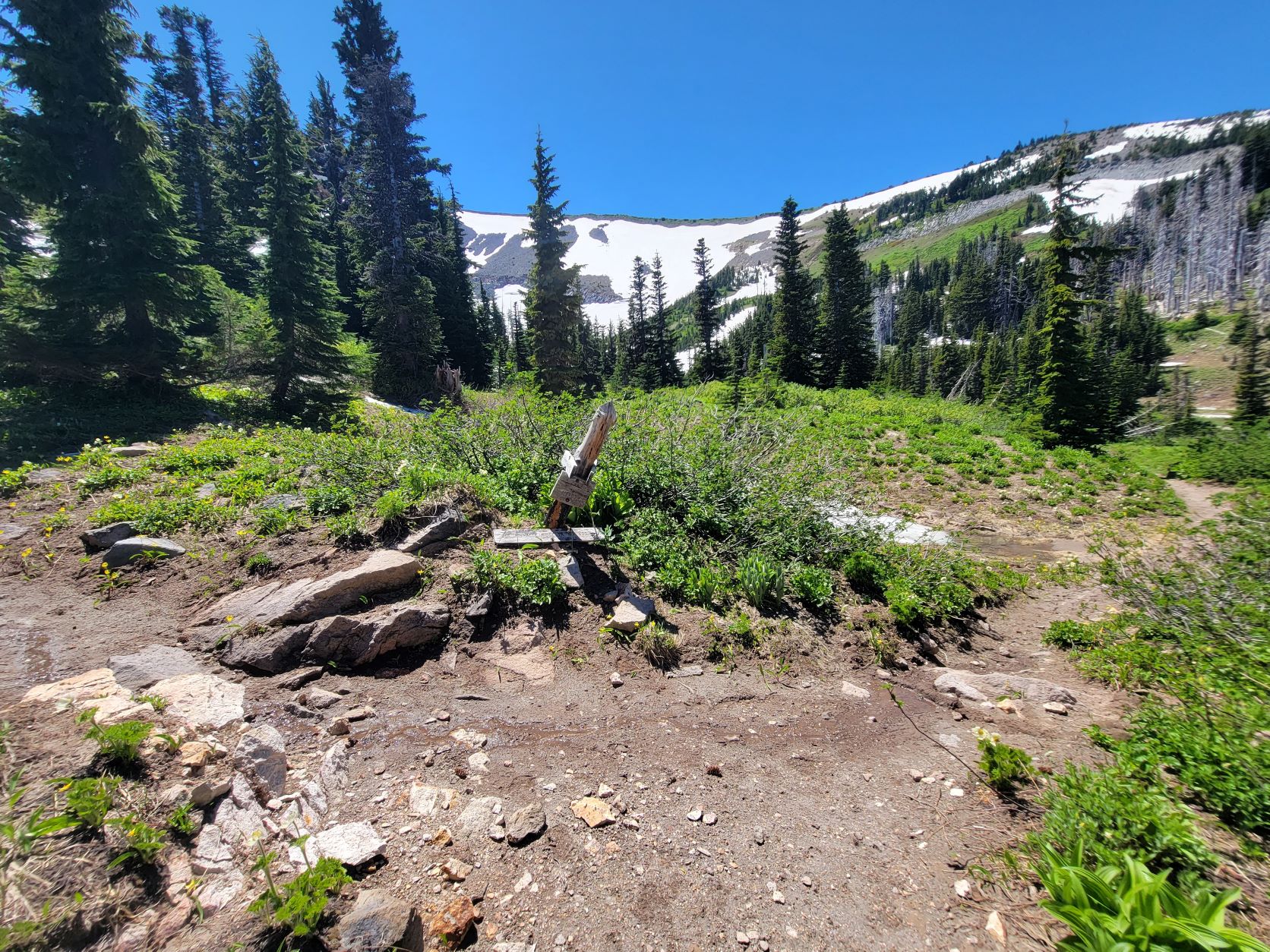
Pressing up the ridge I realized I passed over the Timberline Trail, and doubled back to check on the trail, which was unidentifiable as far as I could see under snow in either direction, only knowing I was standing on it based off the slew of GPS tracks I had to reference.

TT-7-1-22_2
TT-7-1-22

I continued up the ridge until around 6400 feet where I would have been introducing myself to too much fall exposure for having left my ice axe at home on one side, and being pushed into the dense scrubby low forest on the other.

VistaRidgeJuly1_9
VistaRidgeJuly1_12
VistaRidgeJuly1_10

I dropped off the west side of the ridge, descending to the Timberline Trail at as spot between Vista Ridge and Ladd Creek.  There are some huge drifts on the trail here, and around the edge of the burn. I found some tree wells that looked nearly ten feet deep. Other spots, where the terrain curves, the trail was completely exposed, and I followed it a bit until it disappeared once more into a steep snowbank that sloped precariously open down towards Eden Park. From there I headed back up onto Vista Ridge, and down from winter back into spring.

VistaRidgeJuly1_15
VistaRidgeJuly1_20
VistaRidgeJuly1_13
VistaRidgeJuly1_16
VistaRidgeJuly1_18
VistaRidgeJuly1_17

Vista Ridge

VistaRidgeJuly1_19

More Adventures

More Adventures
Benson-27

Beautiful Benson Plateau and Beyond

criterionMarch2023 (26)

Criterion Tract Above the Deschutes

timberline_preview_cloudcap

Mapping the Timberline Trail

ElkCove22 (18)

To The Pinnacle

VistaRidgeJuly1_6

Vista Ridge Snow Trek

6-18Hood1

Changing Seasons on Mount Hood

hoodbuttonview

Utilizing Lidar in Mapping Trails

LostCreekJFW-46

Chehalem Ridge Nature Park

lookoutmtnsunset-3

A Lookout Mountain Night

coeandeliotview-20

Coe Glacier as Winter Draws Near

Changing Seasons on Mount Hood

Changing Seasons on Mount Hood

6-18Hood2

Hiking from spring back to winter

Leaving the Tilly Jane Sno-park just before sunrise (the gate up to Cloud Cap still shut), the forest along the lightly flowing Doe Creek was no quiet space. Instead it was a chorus of babbling wrens, trilling juncos, calling flycatchers and the ethereal swirling calls of Swainson's Thrushes. Having traveled through the rain and clouds on the west side of the mountain, I was happy to see clear sky above and warm orange glow of sunrise splashing onto the tops of the hemlocks as I ascended.

6-18Hood18
6-18Hood19
6-18Hood3

After a mile the trail emerges from the forest into the burn zone left behind by the 2008 Gnarl Ridge Fire that left this northeast corner of Mount Hood a forest of whitened, debarked standing dead timber rising over a vibrant undergrowth including beargrass and wildflowers, some just starting to poke out now. This habitat denuded of the canopy provides home for a plethora of birds, especially groups of Mountain Bluebirds, Pine Siskins, Juncos, Wrens, swallows, and easy viewing of them as they float about the open hillside. Woodpeckers love the area, and their battering of the trees can echoes across the ridgelines.

6-18Hood1

The sun climbed behind me, basking the area in a warm glow. Gone along the way is the formidable ponderosa pine that had stood alone on the ridge, having the survived the fire; it was felled by winds sometime this last winter. The warm sun, bursts, of bird flight across the trail, and budding flowers and grasses gave a very spring feeling to the climb. The wheel of time was abruptly turned back after a mile and a half on the open ridge, when I entered the forest again at the Tilly Jane Historic Area.

6-18Hood4

House Wren

Under the trees around the A-frame cabin and ampitheater several feet of snowpack whisked cold air, dropping the temperature several degrees, and winds cut in. I wandered past the old guard station, and through the deteriorating campground space to where I knew a site furthest to the east poked out into the burnzone, and thus, the sun. There I was greeted by a curious Townsends Solitaire, who watched as I threw on more layers and ate breakfast.

6-18Hood21
6-18Hood22

Once fueled up I headed across the snow, following, in general, the buried trail to Cloud Cap Saddle. There entire campground is still encased in snowpack, some of it covering the entirety of picnic tables at sites. Snow lingers on the road heading up to the Inn, and I climbed up the hill to the viewpoint to take in the view of Hood and the expanse and the Eliot glacier. Back into the forest, I found the Timberline Trail still buried under many feet of snow, and headed north following it's general course.

6-18Hood7
6-18Hood24
6-18Hood5
6-18Hood26
6-18Hood27
6-18Hood28

I know the way of the trail through the forest well enough to follow with only infrequent GPS check ins, but decided I'd rather head up onto the melted out moraine than traverse on top of snowpack through the forest. Along the way I came upon an interesting phenomenon where the snowpack on the edge climbing up the moraine was buried under several inches of fine ash and soils that had had been carried down by the recent heavy warm rains from the exposed, snow free upper reaches of the moraine.

6-18Hood8
6-18Hood9

I continued along the top of the moraine, noticing the moon starting to set down behind the mountain, much like my last trip here, while observing the fresh erosion and movement of debris down the slopes of the moraine into the valley where the Eliot is retreating up the mountain. I left the moraine to head over to the Cooper Spur Shelter, layers of clouds started to float up on the slopes from the below, eventually shrouding me in a dense mist when I left the shelter and headed towards the Timberline Trail.

6-18Hood11
6-18Hood34
6-18Hood35
6-18Hood13

From the snow covered Timberline Trail - Tilly Jane Trail junction it was a descent down the ridge through the cloud to arrive back at the Tilly Jane area. Reentering the burn zone in full sun exposure was a return to spring, with a baking warm hillside that made me glad I was descending and not climbing up now.

6-18Hood29
6-18Hood30
6-18Hood32
TillyJaneSkiTrailMap

More Adventures

More Adventures
Benson-27

Beautiful Benson Plateau and Beyond

criterionMarch2023 (26)

Criterion Tract Above the Deschutes

timberline_preview_cloudcap

Mapping the Timberline Trail

ElkCove22 (18)

To The Pinnacle

VistaRidgeJuly1_6

Vista Ridge Snow Trek

6-18Hood1

Changing Seasons on Mount Hood

hoodbuttonview

Utilizing Lidar in Mapping Trails

LostCreekJFW-46

Chehalem Ridge Nature Park

lookoutmtnsunset-3

A Lookout Mountain Night

coeandeliotview-20

Coe Glacier as Winter Draws Near

Utilizing Lidar in Mapping Trails

Using Lidar Data for Mapping Trails

SlopeBanner

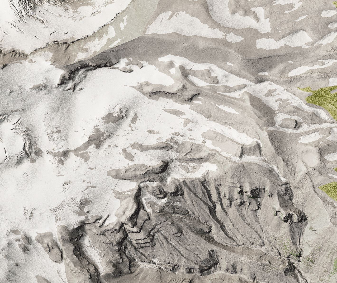
Lidar (light detecting and ranging) is a technology that uses lasers to reflect light off surfaces or objects to create digital three dimensional recreations them. It can model environments in stunning detail. The Oregon Department of Mineral Industries has a collection of high resolution Lidar data covering much of Oregon that is a available to the public. In creating modern cartography, Lidar data is a key source in visualizing and interpreting the landscape.


DOGAMI Bare Earth Lidar data has been compiled in a Digital Elevation Model that reveals the contours of the ground surface and can be processed into a Hillshade to create stunningly realistic representations of the environment. You can also create a Slope Analysis view that allows visualization of the slope of each data cell from 0 (flat ground) to 90 degrees (vertical cliff). For viewing Slope data I employ ESRI's "magma" color ramp that ranges from black at 0 through purples and oranges to near white yellow for vertical 90 degree.  This makes flat areas readily apparent as darker, or deeper purple, and steeper, what would be more challenging terrain as oranger with very distinct views of where cliffs are. For instance, the in the banner above the long bands of hot yellow on the right of the image are the steep cliffs of Mississippi Head on Mt Hoods southwest slope.


slopekey

Lidar derived Hillshade Terrain

hillshade

Lidar derived Slope

hillslope

Waterfalls

Exploring the slope data is a great way to pick out geologic oddities, safer and less steep routes, and especially waterfalls. Water courses in hydrology are in general flat, so the most current channels are easier to identify on slope analysis, and waterfalls, are easily discerned as a bright perpendicular band across the flow. For example, here is a view of Disappointment Falls along Cast Creek, and the very distinct exposed cliff alongside of it. The waterfall is not a vertical drop but a steep slope, a lighter orange/purple band. Compare that to Apparition Falls further south on the creek, a steep vertical drop and bright orange band.

DissapointmentFall
hillshadefalls
slopefallview

Roads

Hillshaded Terrain and Slope views are an excellent realistic visualization of terrain, and because of the high resolution of the data, it is easy to identify roads. A view of the National Forest Land reveals the roads in stark detail, and shows the history of timber access. Long since overgrown and decommissioned roads are visible from the Lidar data. I use these views to trace my Roads layers for maps instead of relying on available transportation data that is often more generalized and and not aligned with the actual road beds. Below is a view of Forest Roads 1828 and 1828-118, with Top Spur trailhead visible as a bulge just after the bend in the road on the far right side.

hillshaderoadsview
sloperoads view

Trails

On trail overview maps with a large scales like the 1:19000 scale of the Timberline Map I am working on, the width of the line visualizing the trails location would be over 50 ft wide, so the smallest twists and turns of the trail aren't visible at such a scale. So why try to get the most accurate placement of trails? One of my goals has been to try and generate more accurate estimate of elevation gain/loss along the trail, as well as total distance, and this serves that end.  Many applications that estimate elevation change like GaiaGPS or Alltrails use lower resolution DEMs and what can be more generalized trail placement from OpenStreetMap, so I hope to get a more accurate estimate by refining the trail and using lidar derived DEM to assess elevation change along it. In some areas, such as the switchbacks shown below, parts of the trail is easily traced in Aerial Imagery, but additional resources are needed once it enters the forest.

Trail Tracing utilizing Aerial Imagery

OSIPswitchbacksnotrail

OSIP 2018 Aerial Imagery

OSIPswitchbacks
OSMswitchbacks

Compared to current OpenStreetMap data

Trails are visible on Slope Analysis, but harder to discern than roads because of their smaller footprint. Some well established wide and well benched sections of trail are easily identified. For more narrow trails, especially on sloping terrain, the Slope analysis is a great tool for pinpointing their location where the canopy cover hides the trail from aerial imagery. The pixels in the slope analysis are a meter square, so the color variation is possible across a very small distance.   The slope view and photo show a section of the Timberline Trail where the bench is visible as the darker pixels cutting through the canyon.

slopedetails
trailviewforslope

After research, in the field observations and GPS tracks provide a view of the current conditions and a generalized location of the trails. I use GaiaGPS on my phone to record tracks, which I can export as GPX files into ArcGISPro to use as references.

My GaiaGPS tracks around Mt Hood National Forest

gaiaroutes

This view of the Timberline Trail along the Zigzag River show how variable GPS tracks can be, where I have over a dozen tracks from the trail, but they all have variance.

gaiaroutezoom
zigzagslopeover
zoomedinviewslope

Zoomed in with trail drawn over, easier to distinguish the corridor and especially switchback as changes in pixel color.

Data Overlay on 3D Terrain derived from the Bare Earth Lidar

zigzagOSIP

OSIP 2018 Aerial Imagery

zigzagslope

Data Overlay on 3D Terrain derived from the Bare Earth Lidar

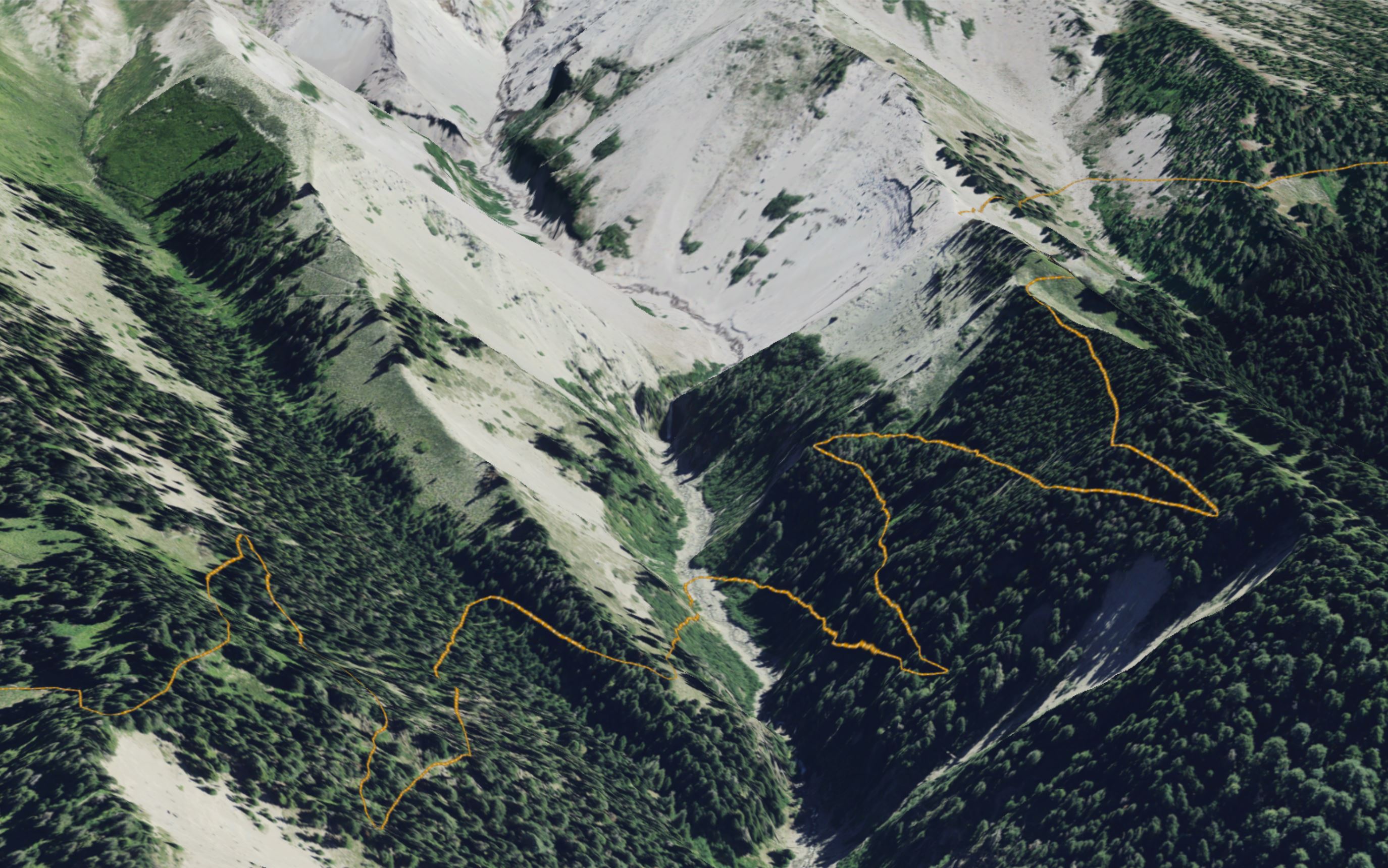
Here's a 3D view looking into Heather Canyon where the Timberline Trail crosses, that shows the trail and a better alignment than on OpenStreetMap. I choose to map the crossing where the trail follows further past the top of the falls, where I've always found crossing to be easier and safer, and the trail naturally leads there now.

heathercanyonOSIP

OSIP 2018 Aerial Imagery

heathercanyonslope
heathercanyonOSM

OpenStreetMap

The drawback of this process of manual manipulation of the trail is that it is quite time consuming to apply so many vertices along the minor undulations of the trail. Placing the trail also requires special attention and knowledge of the current conditions, because the Lidar data for the area was gathered from 2009-2015. This means, for instance, there was no bench for the 2017 reroute of the Timberline constructed after the Eliot Branch blew out the original crossing upstream. Aerial Imagery, trail GPS tracks, and referencing Google Earth'3d imagery help establish the route there.

Using Lidar in visualizing the Mountain

The Lidar data can create beautiful detailed visualizations of terrain to serve as the basemap for a map. In creating my Timberline map background, I have layered and blended over a dozen layers, including many that are derived from the DOGAMI lidar. Highest Hits lidar hillshaded data layers visualizes canopy cover to the level where you can identify individual trees, buildings or large boulders. By blending together many different lidar derived layers and elements like colorized polygon layers of vegetation I have created, and snow coverage extracted from imagery, I strive for an artistic background that balances modern data with a somewhat classic look, without excessive noise of aerial imagery. A background that is beautiful to look at and displays terrain in a way that is interpretive to what is encountered on the ground, inspiring users to have a better understanding of their place in the environment while hiking.

Fires and Windstorms!

Since the collection of the Lidar data, fires like the 2011 Dollar Lake Fire have reshaped the forest canopy around Mt Hood. Since many of the areas have trees still standing, I've blended grayed color polygons traced over present stands of burned area to indicate the burned areas on the map. Other areas, like the massive windstorm damage caused by the Labor Day 2020 storms transformed vast swaths of forest, for which I chose to utilize photoshop and edit the basemap I created to better represent the current conditions, and help hikers visualize the terrain as they may see it today from across the Muddy Fork on Bald Mountain.

MuddyForkBeforeAfterSatellite

Basic Lidar derived Highest Hits Hillshade

HighestHitlandslide

Edited, Stylized Basemap

basemapeditedlidar

Cleaning up Lidar.

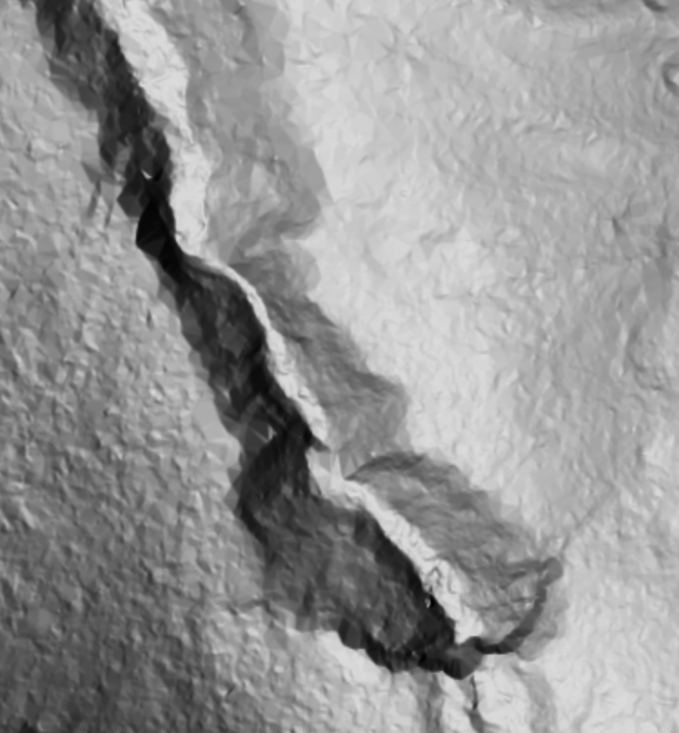
Since Lidar data is collected by different projects, it is mosaicked together, and along the borders there can be artifacts such as long lines that appear where they mesh. These lines where datasets meet are easily identifiable (you can find them in GoogleMaps for example, which also uses DOGAMI lidar as it's terrain hillshade. To remove these from the basemap was a task I accomplished in photoshop by editing the pixels along the lines to blend them in. Below is a before and after of cleaning the diagonal line across the terrain.

lidar line
cleaned

Bringing things together.

A view of the north side of Mt Hood.

NorthHood

A map preview

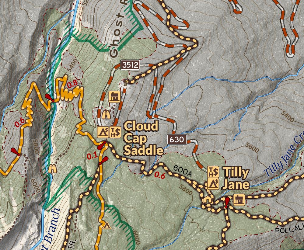
Here's a snippet of my map (still a work in progress) with all my data layers combined looking at the Eliot Glacier and Cloud Cap Saddle area.

EliotMapAreaView

Chehalem Ridge Nature Park

Chehalem Ridge Nature Park

LostCreekJFW-38

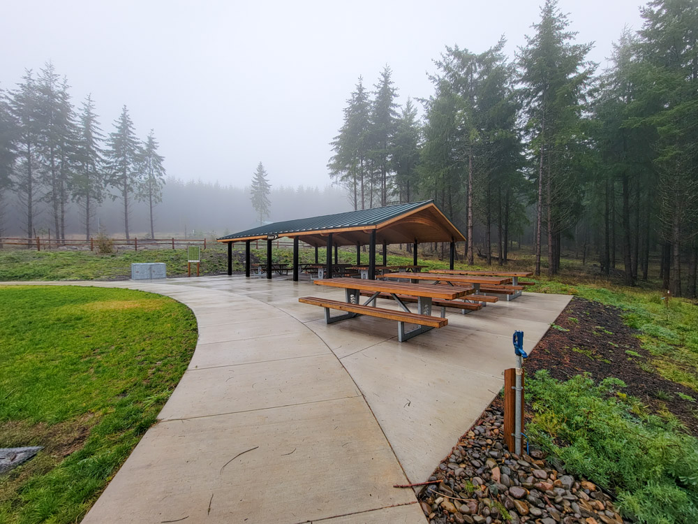
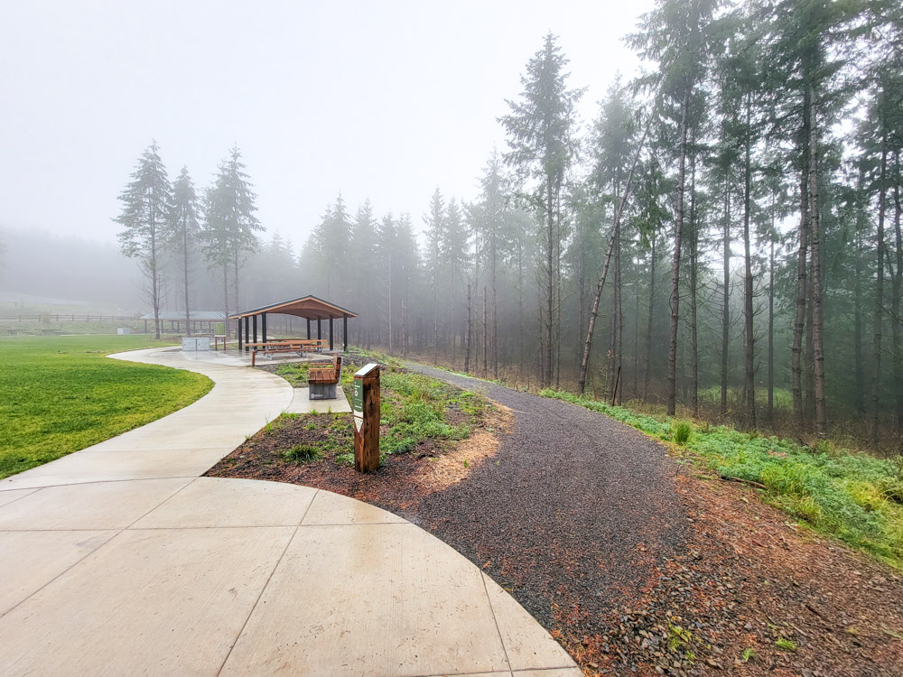
It's not that often that an entirely new park is added to the inventory of places for recreation, but with the opening of Chehalem Ridge Nature Park, Metro has added 1,260 acres and nearly 7.5 miles of trails to explore. The park is open 8 am to 7 pm for hiking, biking, equestrian and picnicking. Dogs and other pets are not allowed. It's Metro's park on the west side, about 15 minutes south of Forest Grove, about a half hour from the Beaverton area through some lovely rolling landscapes. Eager to explore the new trails, I headed out early and arrived shortly after to gate rolling open to the public for the first time. The parking area is immense, and can accommodate a lot of users, with an area for horse trailers. There are several covered picnic shelters that can be reserved for events.

LostCreekJFW-59
LostCreekJFW-25
LostCreekJFW-26

The trailhead for the Woodland trail begins near the Picnic Shelters, and the Timber Road can be accessed from there or the east end of the parking lot. The Woodland Trail begins heading into the forest working northwards along in the hillside west of the Timber Road.

LostCreekJFW-28

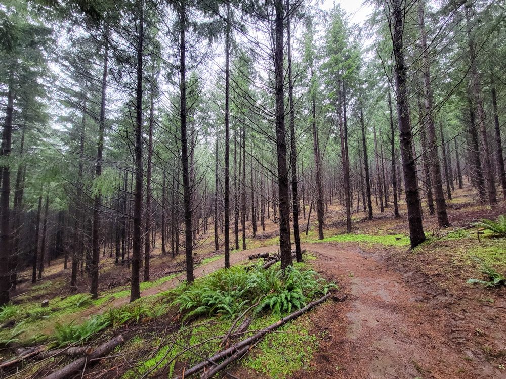
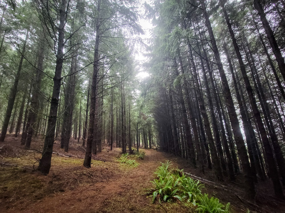
The history of land use is evident in the landscape here; the forest was a timber area and had been managed for future timber use. The trees were replanted in the unnatural feeling straight lines, and with acquisition of the land, Metro has done a great deal of restorative work to enhance the landscape for wildlife, fire resiliency and watershed restoration. Old logging roads have been decomissioned and revegetated throughout the area, while the main Timber Road runs open to users to incorporate into their excursions through the south of the park before closing to the public north of Iowa Hill.

LostCreekJFW-50
LostCreekJFW-36
LostCreekJFW-43

The trails have been constructed with wide benches and easy grades, allowing for broad access to users. Many in the southern section are well graveled, and follow interesting routes to views out over the hills or along the creek. The Chehalem Ridge Trail, follows the ridge north then transitions into the the Madrona Trail which descends a more open hillslope with oaks and madrones before following the road before ending in a small loop in the forest. These trails are less developed and natural surfaced, with somewhat more rolling tread that bikers will enjoy.


I'll have to come back to check out the views- I was limted in my views out into the valley, the entirety of my time was in a steady light rain and dense cloud. My visit to the exposed meadow slope of Iowa hill brought me high enough to experience some freezing rain. While no vast views, the thick clouds and eerily straight plots of forest create a peaceful, haunting atmosphere.

LostCreekJFW-47
LostCreekJFW-46
LostCreekJFW-37

The trails are exceedingly well signed, with directional markers at all junctions that include a plate with a trail map oriented to the location, so route finding should be easy. There are also plenty of benches for breaks.

LostCreekJFW-55
LostCreekJFW-45

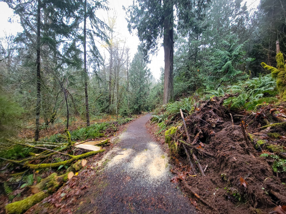
After the windy weather of the weekend there were a handful of downed trees and branches across the park, but Metro maintenance crews were out removing them already.

LostCreekJFW-51
LostCreekJFW-34

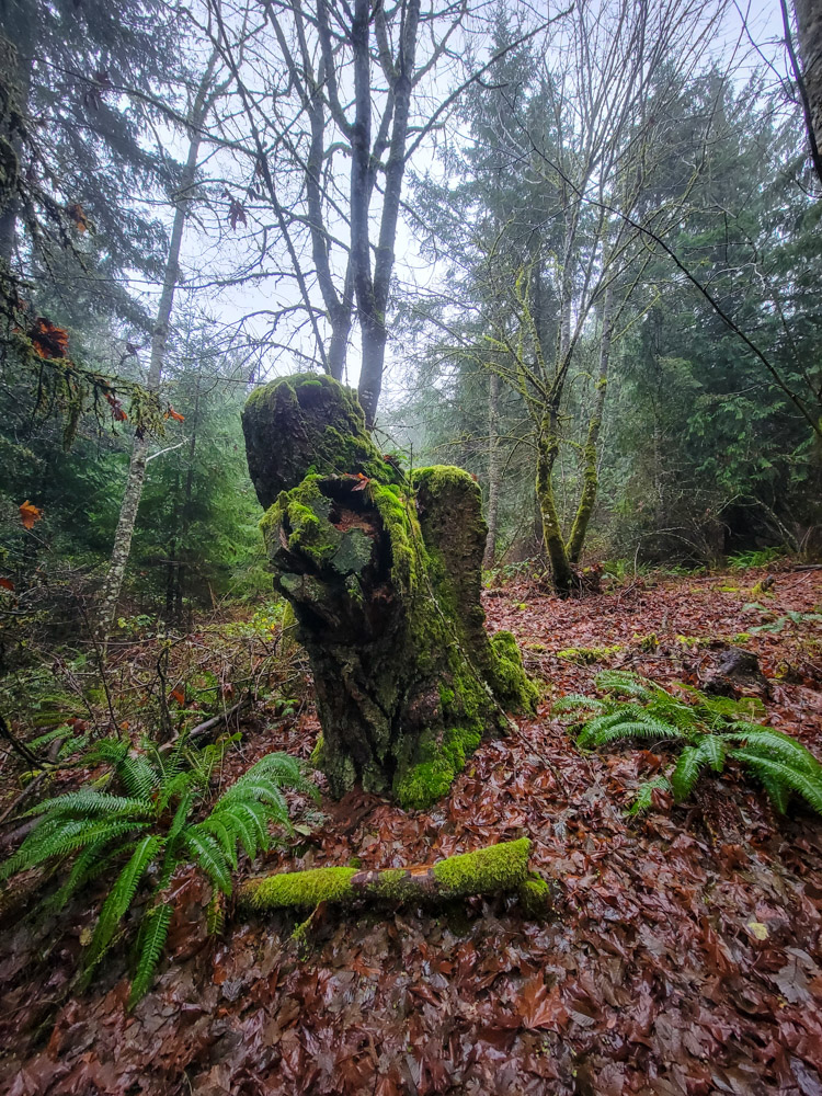
Scattered throughout the park are massive stumps and large trees that survived the logging of the area, including some huge cedars that inspire reflection of how the area may have once been.

LostCreekJFW-52
LostCreekJFW-54
LostCreekJFW-53

Hopefully there will be some interpretive displays added along the trail system, because there are some great spots that would benefit from explanation to help visitors build a sense of place and understand the historical and ecological elements they are passing by. One spot in particular is along the north end of the Chehalem Ridge Trail where on one side of the trail the forest has been thinned and on the other side the forest has not been and the difference is stark.

LostCreekJFW-44

All total, exploring the whole of the trail system netted me about 14.5 miles. It's a really nice area to get some good distance in, especially for running and being on the west side of town. I saw a handful of hikers out enjoying opening day, and a pair of bikers on the trails. The location is designed for a huge capacity of users which it will easily accommodate without feeling crowded. It's a great spot to get some really remote feeling nature access without heading too far away from town. I'm thankful for Metro's vision of transforming woodland into a hub for conservation and recreation.


While the trail is well mapped throughout the park, I could not find any uploaded online at opening day, so I uploaded my tracks and threw together a map for planning visits.

A map of Metros Chehalem Ridge Natural Area
LostCreekJFW-39
LostCreekJFW-40
LostCreekJFW-49
LostCreekJFW-57
LostCreekJFW-41
LostCreekJFW-35
LostCreekJFW-33
LostCreekJFW-31
LostCreekJFW-32
LostCreekJFW-30
LostCreekJFW-29
LostCreekJFW-48

More Adventures

More Adventures
Benson-27

Beautiful Benson Plateau and Beyond

criterionMarch2023 (26)

Criterion Tract Above the Deschutes

timberline_preview_cloudcap

Mapping the Timberline Trail

ElkCove22 (18)

To The Pinnacle

VistaRidgeJuly1_6

Vista Ridge Snow Trek

6-18Hood1

Changing Seasons on Mount Hood

hoodbuttonview

Utilizing Lidar in Mapping Trails

LostCreekJFW-46

Chehalem Ridge Nature Park

lookoutmtnsunset-3

A Lookout Mountain Night

coeandeliotview-20

Coe Glacier as Winter Draws Near

A Lookout Mountain Night

lookoutmtnsunsetbanner-2

A Lookout Mountain Night

With the potential for Aurora sightings south into Oregon due to the coronal mass ejection on the sun earlier in the week, I headed out to try and get some views of the northern sky. My plan was to head in the late afternoon to High Prairie trailhead east of Mt Hood on the northern edge of the Badger Creek Wilderness, and then proceed the short approximate mile to a campsite at 6400 feet, along the Divide Trail just west and down the ridge from the Lookout Mountain summit. Just behind the spot is a pumice slope with open views to north of Mt St. Helens, Mt Adams, and on to Mt Rainier. There’s less trees and obstruction than at the summit for that direction, and it’s also right next to an extraordinary viewpoint of the east side of Mt Hood, and it is more protected than the summit.

lookoutmtnsunset-3
ice-3

A little after 4 in the afternoon when I arrived at the trailhead, where the temperature was already below freezing, and along the trail, large swaths of ice needles were rising out of the trail. It really does appear as an uprising of incredibly thin needles of ice in a block, pushing soil out of the ground This type of frost happens when the ground temperature is above freezing, with moisture in the soil and a below freezing air temperature. I’d speculate that it concentrates on the trails because the compacted soils retain heat longer. I’ve never encountered such expansive coverings of it, and it offers a satisfying crunch to the trail without being slippery. Once at my camp I went about setting up camp. The spot was windy, but much less that right around the corner at the viewpoint towards Mt Hood.

ice-4
lookoutmtnsunset

Looking west to Mt Hood

lookoutmtnsunsetbanner

North to Mt Adams and Mt Rainier

The sun crept down above the valley and warm rays cut through cloud lines that were shifting around the Mountain. A band of thick clouds floated up above Newton Clark Glacier, splashing onto the mountains shoulders while just breaking around some rocky outcroppings on the way to the summit. Wine colored accents bloomed along the trailing edges of cloud bands, bleeding out to deep greys once the sun disappeared below the mountains of the coast range.

lookoutmtnsunset-2
lookoutmtnsunset-4
lookoutmtnsunsetbanner-3

The setting sun

lookoutmtnsunset-9
lookoutmtnsunset-10

colors draining out of the clouds

lookoutmtnsunset-8
lookoutmtnsunset-12
lookoutmtnsunset-11

Happy Halloween!

With the sun down, I set about donning more layers to preserve my warmth and regaining feeling in my fingers. The wind was absolutely ripping, and if it weren’t for the foam earplugs I’d brought, I’d probably have bailed then. Ice was already starting to form in my two liters of water. After warming up for a while, enjoying a beverage (beer foam freezing on the edges of the mug) and doing some reading in the tent I went back out for a look. The sky was clear and illuminated by a vastness of stars and the Milky Way. To the north the lights leaking from Hood River offered a glow, but no discernable Aurora. I didn’t linger for long; the intensity of the wind and chill quickly robbed my extremities of their feeling even with the double layer of warm gloves and three layers of socks. Regrettably, I didn’t set about any astrophotography, wanting to preserve the life of my camera batteries for long exposures later in the evening and preserve the functioning of my hands.

Shortly after when I popped out for a view I was surprised to see that where last had been a great blanket of illumination- now was nothing.  A thick layer of clouds had moved above, and the moisture and fog in the air rushing about me in the unrelenting wind had gained a weight. Retreating back into my down bag I was grateful for the extraneous layers that I had brought, including my full body fleece dinosaur onesie that stayed on over my down jacket. My down bag will make me sweat wearing any layers in temperatures in the 50s and wasn’t feeling over warm in the slightest now. I wasn’t cold, but felt at fine level temperature wise. The air temp was at least in the low twenties and windchills into the teens. I set alarms for 2am, in the window when Aurora was forecast to be stronger, hoping I could catch some sleep and would return outside to a cloud dispersed.

ice-1

Sleep wouldn’t come; the rushing wind outside was a constant white noise interjected at random by crashing gusts loud enough to cut through my earplugs, breaking through any drift out of consciousness. Around 1 AM I poked my head outside to discover the rapidly moving air outside seemed to be frozen, and was depositing small crystals of ice in piles where it hit my tent. The needles on trees, branches, rocks on the ground, all were covered in fine crystals of ice. I decided to break camp and try for some other vistas that may have views. After quick and windy packing up I descended. On the north side of the mountain and in the forest, barely more than 200 feet lower the wind was dramatically lower, the fog not frozen. At the trailhead the temperature felt so dramatically warmer and the air so comparably still that I, now too warm, stripped down out of my many layers. Felt balmy. The car thermometer said 27. I headed down the 4.8 miles really getting to enjoy heated seats.

I thought that Eightmile Point would be a good option with its northward views, and more than a 1200 feet lower than my camp may have some visibility so I headed there. At the Junction off of FS-2730 the sky was still cloudy and mild freezing rain had settled in, so I skipped on trying to hike to the Point and headed toward a view that offers great sunrises looking east and may let me see better sky conditions. After missing the pull off in the darkness, I turned around and headed back up to the view. I caught a red fingernail of the moon rising up above the eastern ridges covered with turbine beacons before it slipped behind cloud layers. Next I headed to a large gravel lot off FS17 heading north with expansive views of Hood. Saw Elk and plenty of deer along the way, and the sky was pretty cloudy and there was a collection of cars at the lot so I didn’t linger. At my next spot Mt Hood was still cloudy and the clouds still letting only a few stars through, so with my energy dwindling I closed my eyes for an hour. Awaking, now just after 5 AM I headed out to FS 1720 to drive through the grassy stretches of pine and oaks and the country opened up as I descended northeast. Warm oranges and purples began to filter into the cloudy sky as approached The Dalles and a very desired coffee.

lookoutmtnsunset-13

Coe Glacier as Winter Draws Near

Coe Glacier as Winter Draws Near

coeandeliotviewBanner-3

With significant rain forecast for the northwest, I wanted to get back to the north side of Mt Hood to check out a few areas before more snow fell on the mountain. On this sunny morning at Cloud Cap Saddle, the outside temperatures were just a bit above freezing and the ground was frozen with patches of snow leftover from the recent low elevation snows. The trail was quiet; I didn't see a single hiker the entire day. From the campground I headed immediately down to the Eliot crossing. Last time I was here was early on in the summer as the high heat was shedding the snowpack above, and the river was a torrent, a couple feet higher in places and faster moving. Now I could cross on rocks and there were numerous spots where the flow was just ankle deep. The bigger hazard was the ice slick on rocks near the creek. The scramble out of the canyon was still puckering, although better paths have been developed up to the rim.
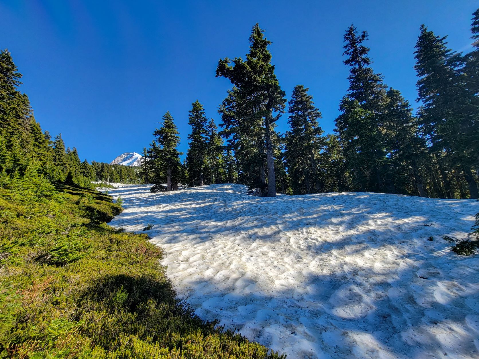
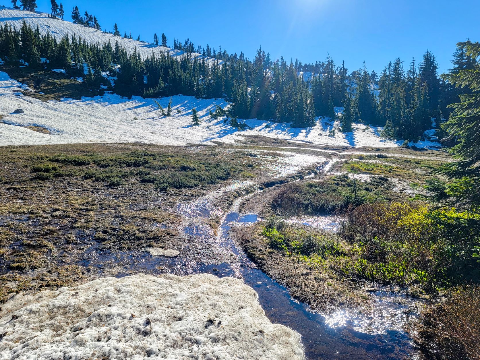
 

In the summer the stretch of trail that climbs up through the burned forest is a very dusty stretch, but now frozen in place (and much cooler) was a nice change.  Further along, the trail more shaded, had stretches of frozen snow with a nice flat boot pack on it.

coeandeliotview

falls above the Eliot Branch crossing

Almost 3 miles from Cloud Cap on the Timberline Trail I headed up the ridge that separates the Compass Creek Drainage and Coe Branch. This area is the furthest the 2011 Dollar Lake fire burned up the slopes of the mountain here, and I was finding myself amongst some large but stunted, dense growing pines in the alpine environment. Shady areas had a good collection of snow on the slopes. I kept heading up the ridge and came to an open north facing field of broken plate like flat rocks. I cautiously ascended less than a hundred feet before deciding the increasing slope severity made things too chancy to press upward. It was like scrambling over a pile of icy dinnerplates.

coeviews (1)
coeviews (3)
coeviews (2)
coeandeliotview-2

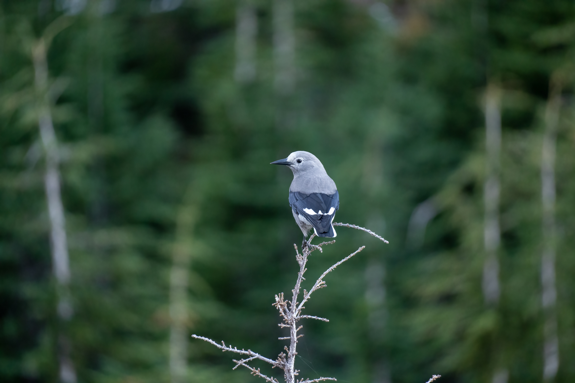
Clark's Nutcracker

So I headed down, and cut across to the valley between the ridge and the minor moraine just before the large moraine containing the Coe Glacier. In the belly of this valley was an easy ascent on patches of snow up to it's end at the moraine. There an expansive view of Coe Glacier and the upper extent of Ladd Glacier spread out, with Barret Spur looming above the Moraine to the west and the cliffs of the ridge to the east. Some thick clouds came and hung over the Eliot and Snowdome, filtering the morning sun. I spent a while fawning over the intricacies of the glaciers tortured sprawl down from Mt Hoods north face before heading back down the valley.

coeandeliotviewBanner-4

Coe, Ladd Glaciers, with Pulpit Rock prominent in the center

coeandeliotviewBanner

Barrett Spur

coeandeliotview-19
coeandeliotview-17
coeandeliotview-16
coeandeliotview-14
coeandeliotview-12
coeandeliotview-11
coeandeliotview-10
coeandeliotview-9
coeandeliotview-8
coeandeliotview-7
coeandeliotview-6
coeandeliotview-5
coeandeliotview-4

I followed the valley down, until a small saddle that climbed to and then up to a small high point on slopes above the Timberline Trail. This stack of resistant lava flow surrounded by the Dollar Lake fire burned trees felt like an ancient block structure and reminded of Tolkien's Weathertop. From there it was just down through the forest on the edge of a meadow to return to the Timberline Trail

coeviews (4)
coeandeliotviewBanner-5
coeviews (6)
coeandeliotview-20
coeviews (8)

More Adventures

More Adventures
Benson-27

Beautiful Benson Plateau and Beyond

criterionMarch2023 (26)

Criterion Tract Above the Deschutes

timberline_preview_cloudcap

Mapping the Timberline Trail

ElkCove22 (18)

To The Pinnacle

VistaRidgeJuly1_6

Vista Ridge Snow Trek

6-18Hood1

Changing Seasons on Mount Hood

hoodbuttonview

Utilizing Lidar in Mapping Trails

LostCreekJFW-46

Chehalem Ridge Nature Park

lookoutmtnsunset-3

A Lookout Mountain Night

coeandeliotview-20

Coe Glacier as Winter Draws Near