Description
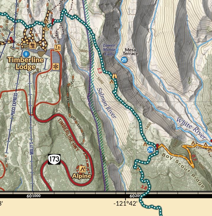
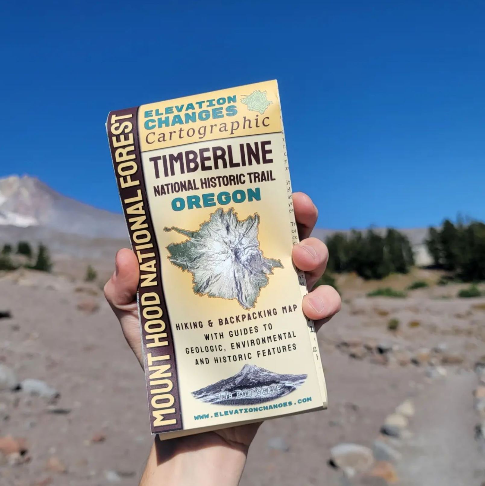
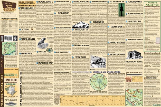
This 24”x 36” double-sided folded map is printed on tear resistant, waterproof 4.2 mil synthetic paper, and accordion-folds down to 4”x 8.” The map side is presented at 1:19000 scale for a high level of detail focusing on the Timberline National Historic Trail No. 600 encircling Mt. Hood in the Mt. Hood National Forest and includes UTM and Latitude/Longitude grids.
The map and information contained are designed to help guide and enhance the experience of backpacking and hiking the Timberline Trail. It includes helpful tips and knowledge for hike planning, including information on water crossings and the hydrography of the mountain, Forest and Wilderness regulations, and more. Highlighted on the map are 25 points of historic, geologic, and environmental prominence around the mountain, linked to detailed descriptions and stories illuminating each one on the reverse side, connecting visitors with the rich history of Mount Hood. Learn about the history of Timberline Lodge, and Cloud Cap Inn, ancient volcanoes, buried forests, and prominent figures in the history of the mountain like Fred McNeil.
Detailed on the map are established campsites used by hikers, which have been located in the field and highlighted based on their history of use and reduced environmental impact. Camping in established sites and not impacting fragile alpine vegetation is an important aspect of preserving the wilderness character of the mountain, and the extensive coverage of campsites can help in planning and avoiding overcrowding at the most popular destinations.
Hydrography along the trail is presented on a graduated scale related to increasing water flow size from trace, minor streams to large flowing creeks. The locations and size of water flow was established from actual on-the-ground, field-collected data from late summer flow observations made across several years, to give a good indication of where water may be more reliably encountered during the primary backpacking season on Mount Hood.
The data presented on this map was collected from extensive observations and experiences on the mountain across several years, and over a thousand miles of hiking around the area, including eight full loops of the Timberline Trail and dozens of day explorations made by the maps creator.
Visit my gallery of photos from around the Timberline Trail for views of the magic of the mountain taken while working on the map.
Visit this collection of blog posts for stories and adventures chronicling some of my explorations onto and near the Timberline Trail.
Visit my Timberline Trail Status page for information on trail updates, closures, and conditions.
A Digital Version of the map side can be purchased from the Avenza Map Store for those who would like a digital version that allows for GPS-located position fixing as a companion
Printed in the USA.
Hiking, backpacking, and exploring involve partaking in risk. This map is meant to help planning your experiences, but it is up to individuals to use best judgment and acquire the proper additional knowledge and skills to remain safe. Conditions on trails and roads can change dramatically from year to year and with weather. Unofficial Trails noted on maps are routes well established by users but may see no maintenance and may be more challenging than a maintained trail. Check all campgrounds for potential hazards, especially in inclement weather. Map users are solely responsible for their actions and decisions while using this map, assuming all the risk while referencing and utilizing this map. The map user waives any and all claim of negligence or responsibility for adverse happenings, accidents, or incidents against the map creators and Elevation Changes Cartographic LLC.


