Mount Hood Snow Levels
When will the snow recede from the trail?
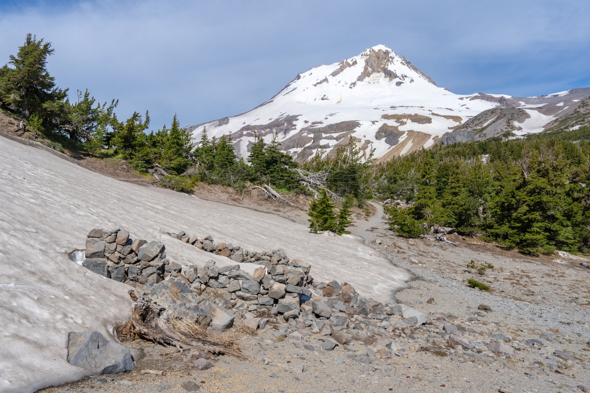
Planning early season trips can be complicated by the potential for lingering snow pack that creates situations where otherwise uncomplicated, easy sections of trail become very dangerous slopes of steep packed snow with disastrous consequences for falls. Combined with long stretches of the trail obscured by snow and more complicated navigation, expect to move much slower across the terrain.
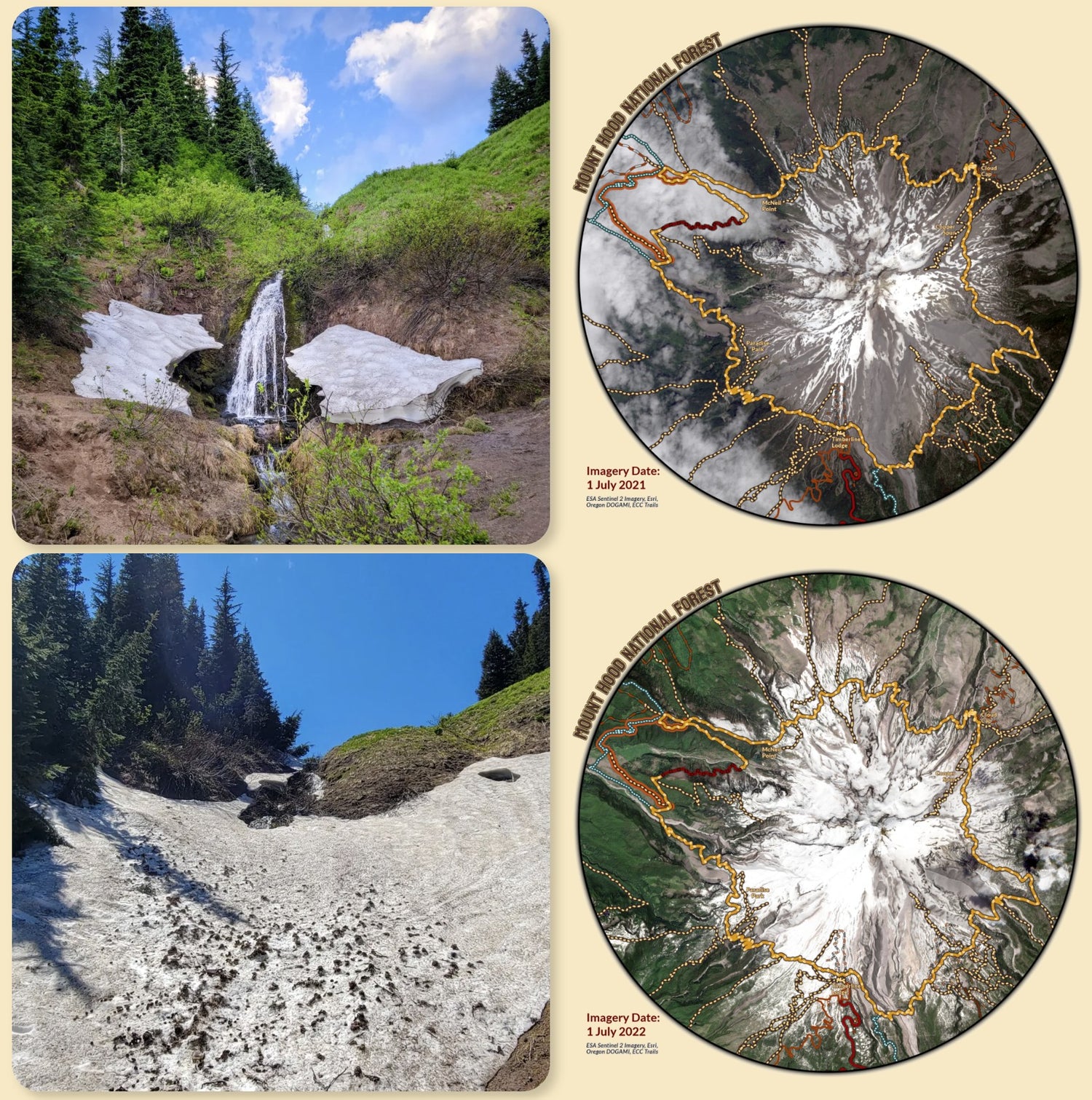
The varying amount of snowpack received during winter and the temperatures and sun in May and June combine to create wildly different snowpack conditions and melt-off dates for each year. Do not rely on dates of trip reports from previous years to indicate when the trail will be open. Extensive snowpack can linger late into July, or be nearly melted away In June, based on the unique conditions of each year.
Clockwise or Counter-Clockwise???
This perhaps the most common question asked by backpackers (or trail runners) planning their Timberline Trail expedition. The answer often elicits strong responses from hikers based on their past experiences on the trail. The best answer is really: It depends. While that answer may feel unsatisfactory, it offers the potential to plan a trip that is more intimately tailored to factors unique to each backpackers skills, interests, and timeline, in order to get the most out of a trip. It can also help to increase solitude along the trail by not following a popularized itinerary which can contribute to overuse of certain areas. Both directions offer great challenges and rewards, which will vary based on conditions such as timing and weather.
Start with your timeframe to be on the trail, and break your days segments into manageable amounts of ascent and distance for your capabilities, weighing in locations you most desire to spend extra time and explore or camp near, especially if visiting from outside the local area. Challenges like ascending from White River going CW (clockwise) are very different depending on schedule at time of day. Making the final push to the lodge after a long day of hiking and in the afternoon heat can be BRUTAL! However, if the climb is done in the morning on fresh legs, when the temperatures are cooler- the area offers with some of the best sunrise experiences as the morning light casts across the east face of the mountain.
If you start your hike later in the day, for example, planning to stop at Paradise Park offers excellent camping and exploration after a short amount of miles by going CW, as opposed to going CCW and looking to camp around the Meadows Ski Area with less sites after similar mileage.
Trail challenges on certain sections can vary significantly based on your starting point and time of day, weather and heat conditions and mileage and elevation already underfoot. Consider an earlier start to your hiking day, for example, instead of camping right near the creeks for earlier crossings or clustering in popular areas.
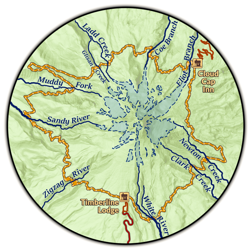
Glacier Stream Crossings
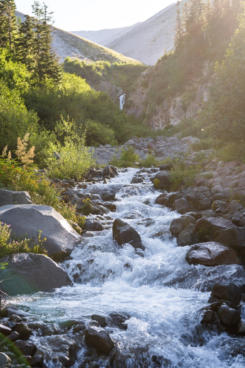
Depending on flow volume and conditions at the crossing, the hazards present can vary greatly. Some trips you may be able to cross all streams and rivers without getting your feet wet, others may require thigh high wading through fast, frigid waters.
- Look for cairns or well developed footpaths. Creek beds and approaches can get reformed each winter by high waters, but as the hiking season progresses paths to safe crossings get reestablished.
- Avoid crossing alone, if hiking solo, cross at the same time as other groups. In summer the trail can be busy enough that you will often encounter others clustering at the crossings.
- Pay attention to weather. During summer, hot weather melting snowpack above can swell river crossings more than later in the hiking season, and in fall rain storms can quickly increase flow volume at any time of the day.
- If possible plan crossings before the afternoon, when flow volumes rise as the sun melts snow above. Consider an earlier start to the day if approaching a crossing instead of planning on camping nearest to the creek if an area is crowded.
Camping
Backcountry camping in the shadow of Mount Hood is one of the highlights of backpacking the Timberline Trail. There are many phenomenal sites to camp.
- There is one drive up campground at Cloud Cap Saddle along the Timberline Trail offering sites with picnic tables, and a water spigot that turns on seasonally in summer.
- There several popular camping areas with clusters of sites including Elk Cove, Cairn Basin, around Ramona Falls. These sites are also popular with day hikers, and overnight campers and many sites will fill up soon. They are also in some of the most fragile environments, so it is extra important to practice Leave No Trace, and to avoid setting camp up on alpine vegetation if you cannot find an established site.
- Luckily, there are many long-established individual sites all along the trail. Utilizing these sites reduces impact and spreads out campers. Many are tucked just off and out of site from the trail. I’ve located and marked many of these on my Timberline Trail Map to help hikers plan, adapt and avoid creating new sites.
- There are great sites available in Paradise Park, which is a deservedly popular place to camp and a worthy side journey from the main trail.
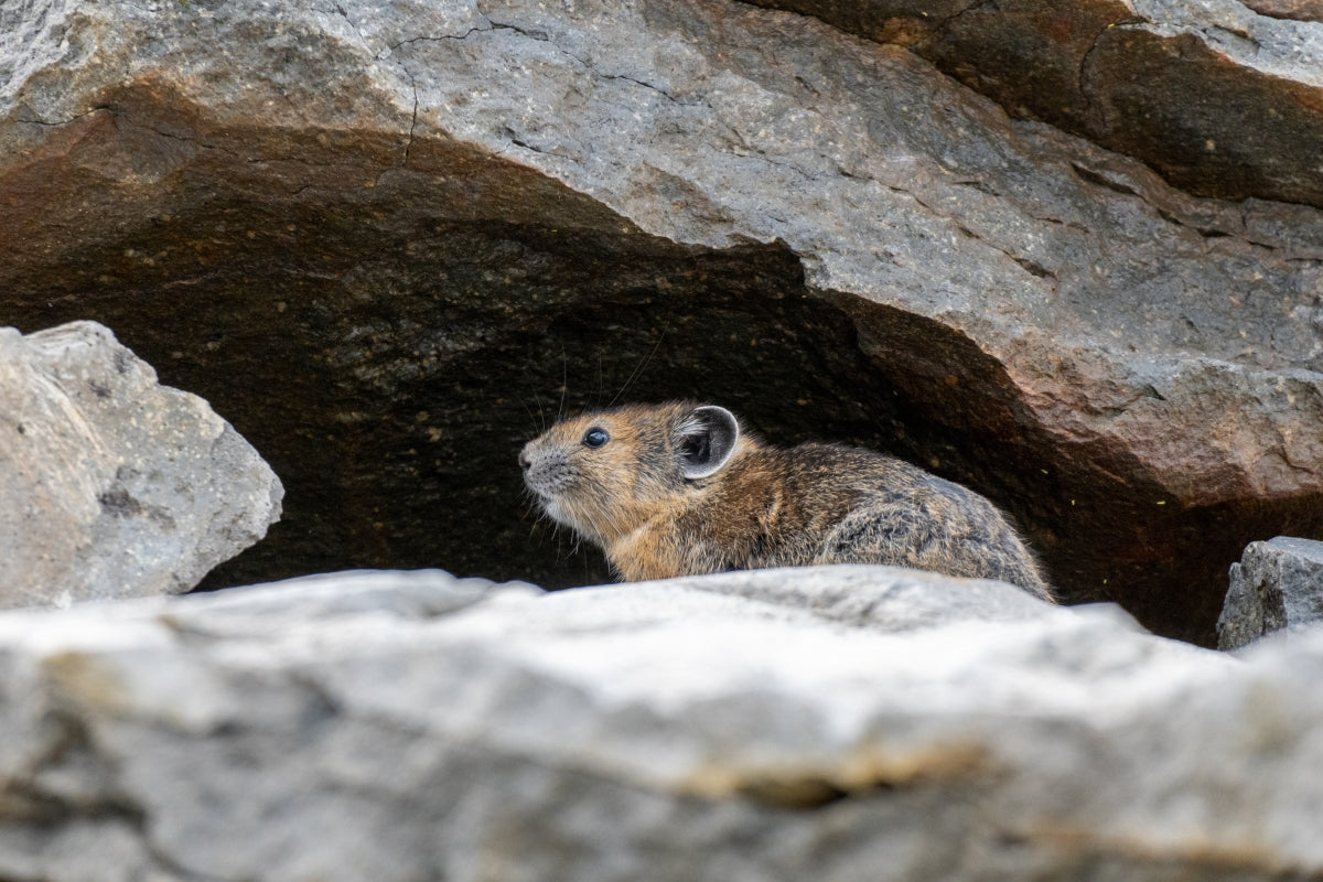
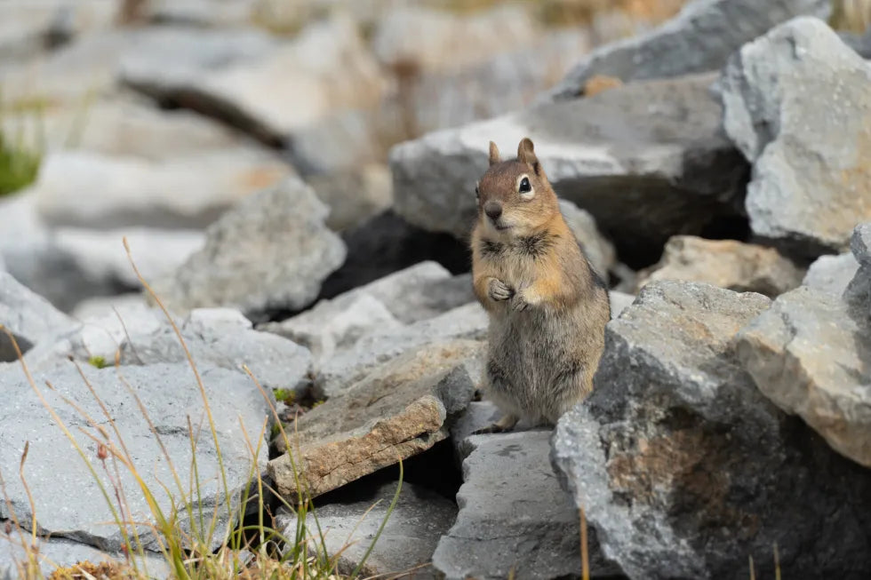
While Black Bears are present on the mountain, encounters are very rare with hikers and they pose little risk for camping. Proper food storage practices in camp are always recommended as there are there are nefarious critters about that would like to access your provisions (squirrels, rodents, ravens, marmots!)
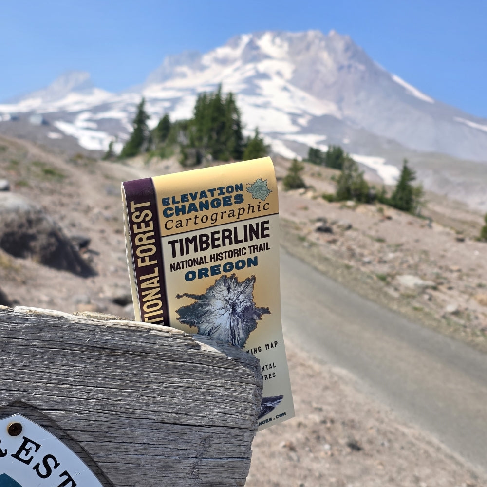
Map of Mount Hood
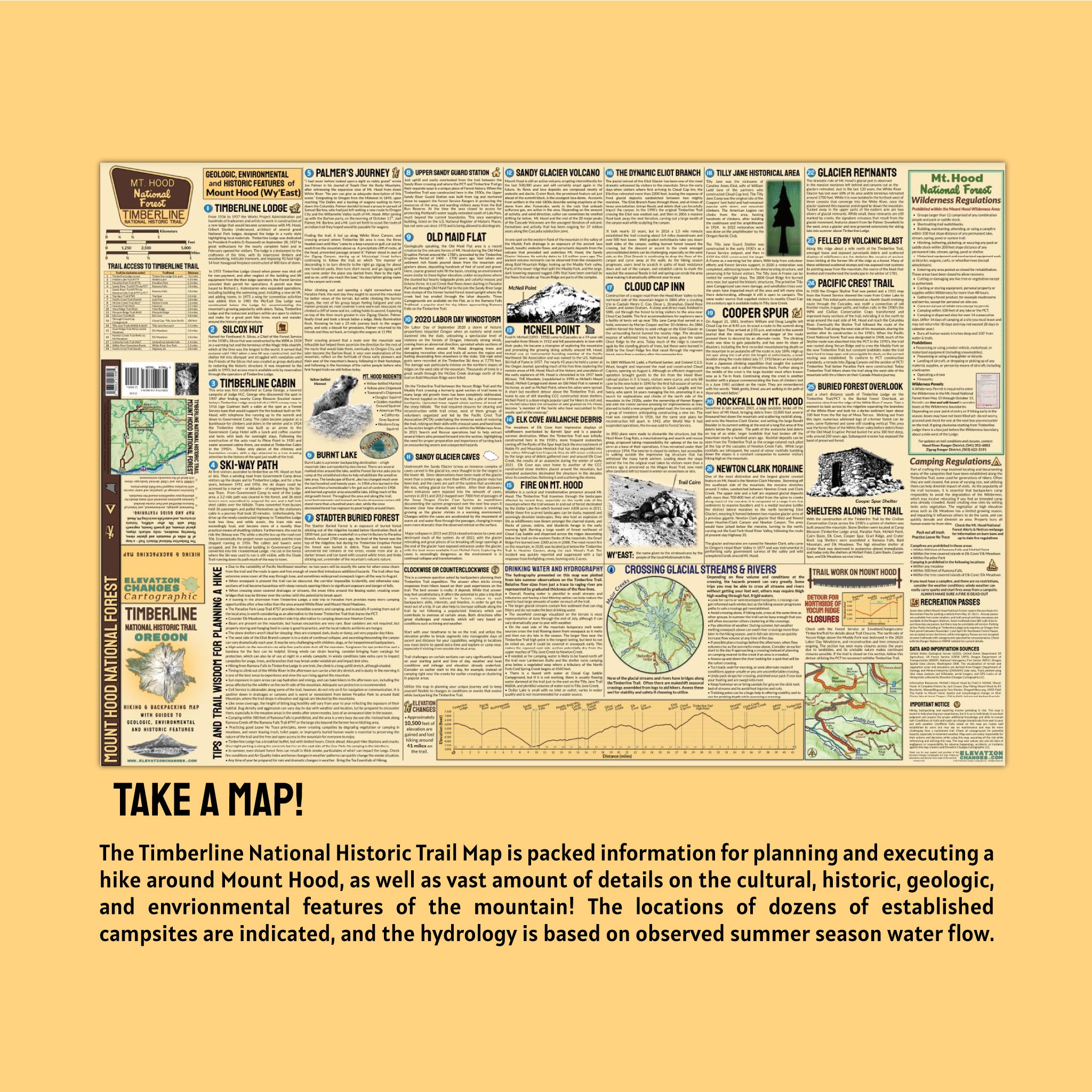
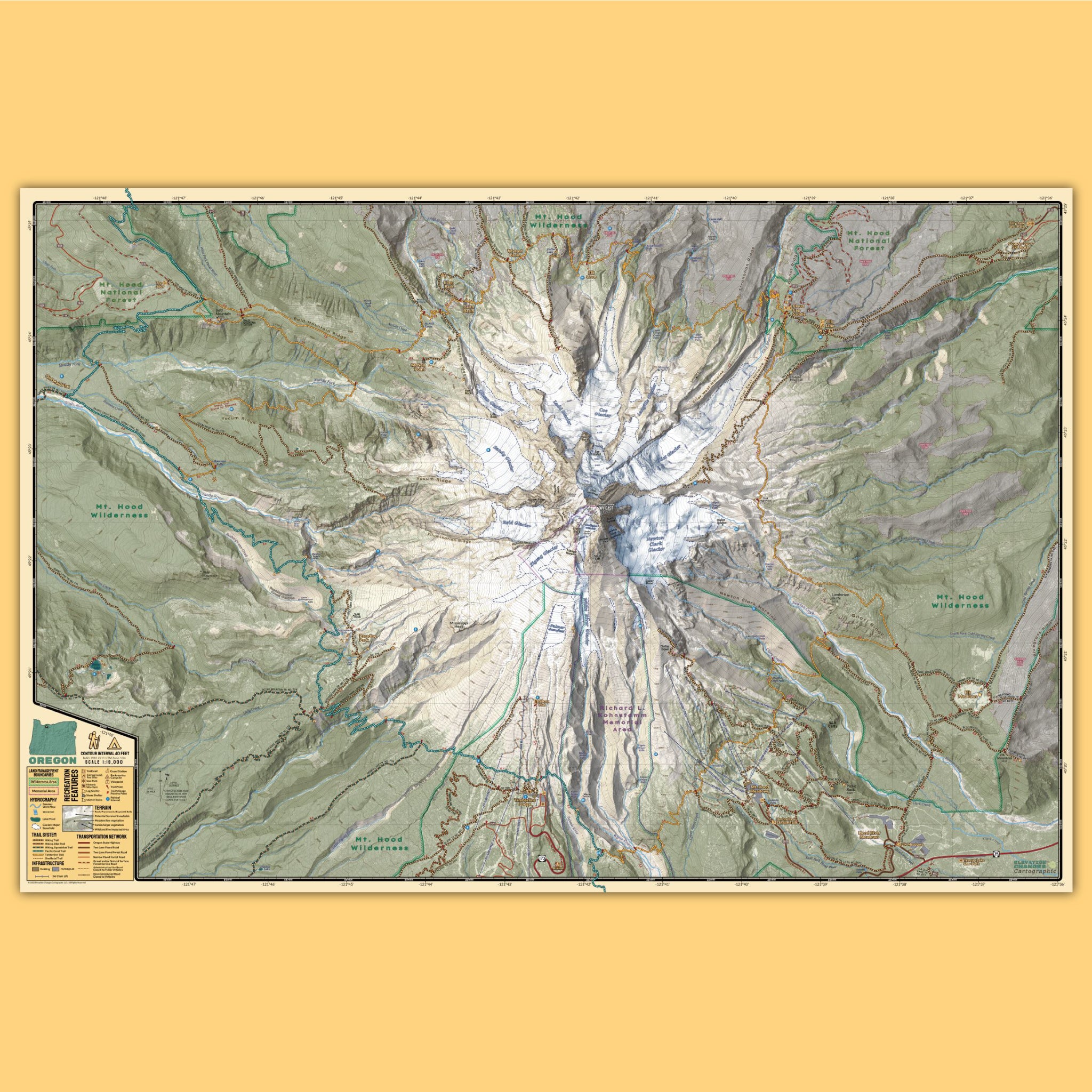
Timberline National Historic Trail Field Map
