Wall Maps
Collection: Wall Maps
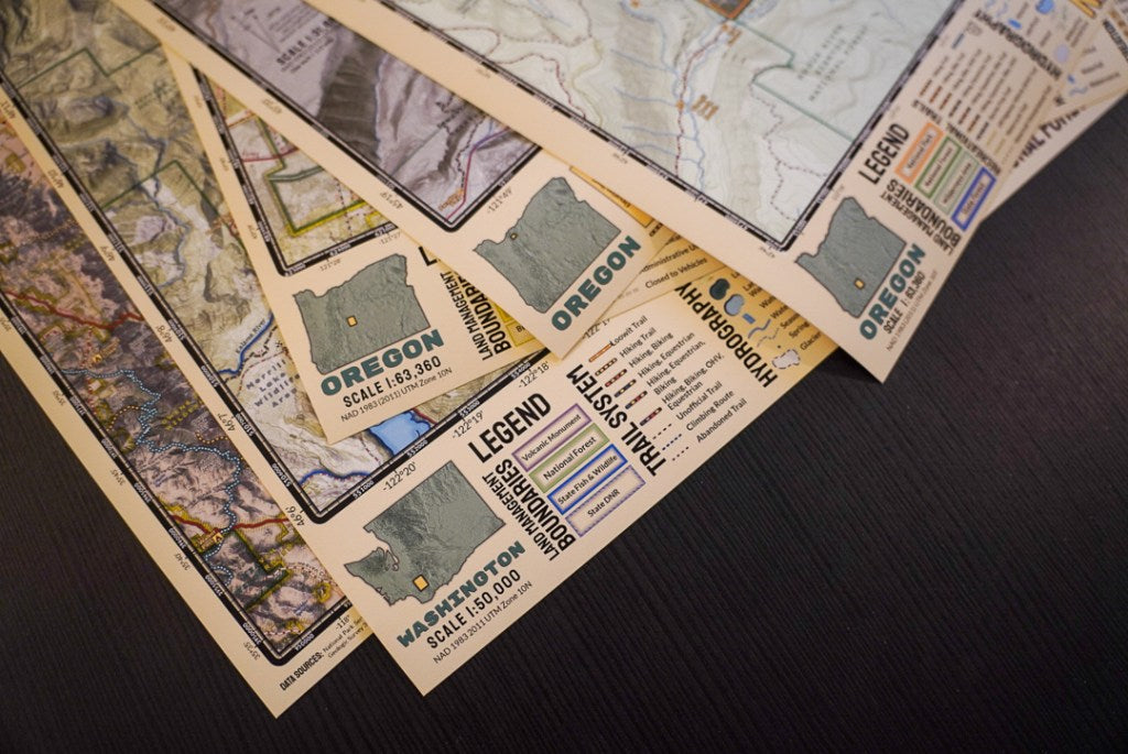
Elevation Changes Cartographic maps are extensively researched and utilize the latest cartographic mapping techniques and remote sensing data to visualize the landscape in a stunningly beautiful and interpretable portrayal. Wall Maps are printed on large format art printers on water-resistant and tear-resistant polypropylene paper for rich colors and crisp details.
For more original ECC maps be sure to check out the wall maps. Eventually the goal is to print those and more as field maps, so your support with purchases of maps and and stickers is appreciated!
- Wall maps are shipped rolled via USPS in 25″x 2″ boxes.
- Wall maps boxes will ship separately from stickers & field maps envelopes.
-
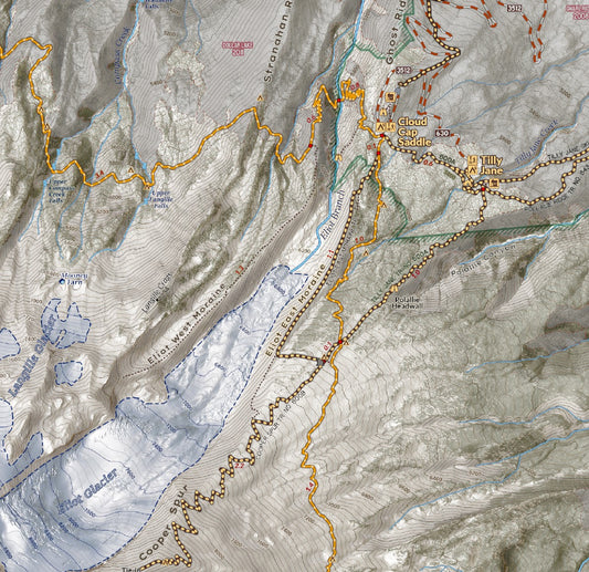
Mount Hood - Timberline Trail
Regular price $25.00 USDRegular priceUnit price / per -
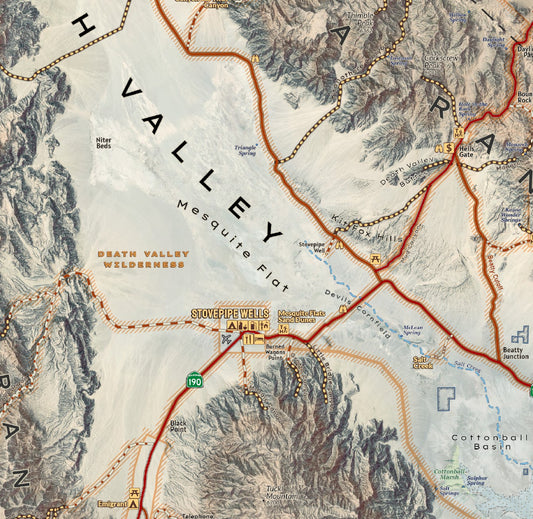
Death Valley National Park Wall Map
Regular price $35.00 USDRegular priceUnit price / per -
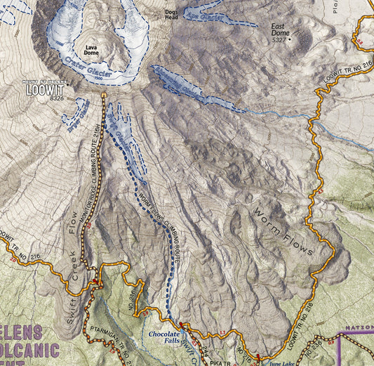
Mount Saint Helens Wall Map
Regular price $30.00 USDRegular priceUnit price / per -
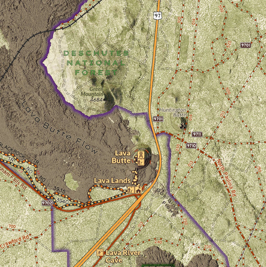
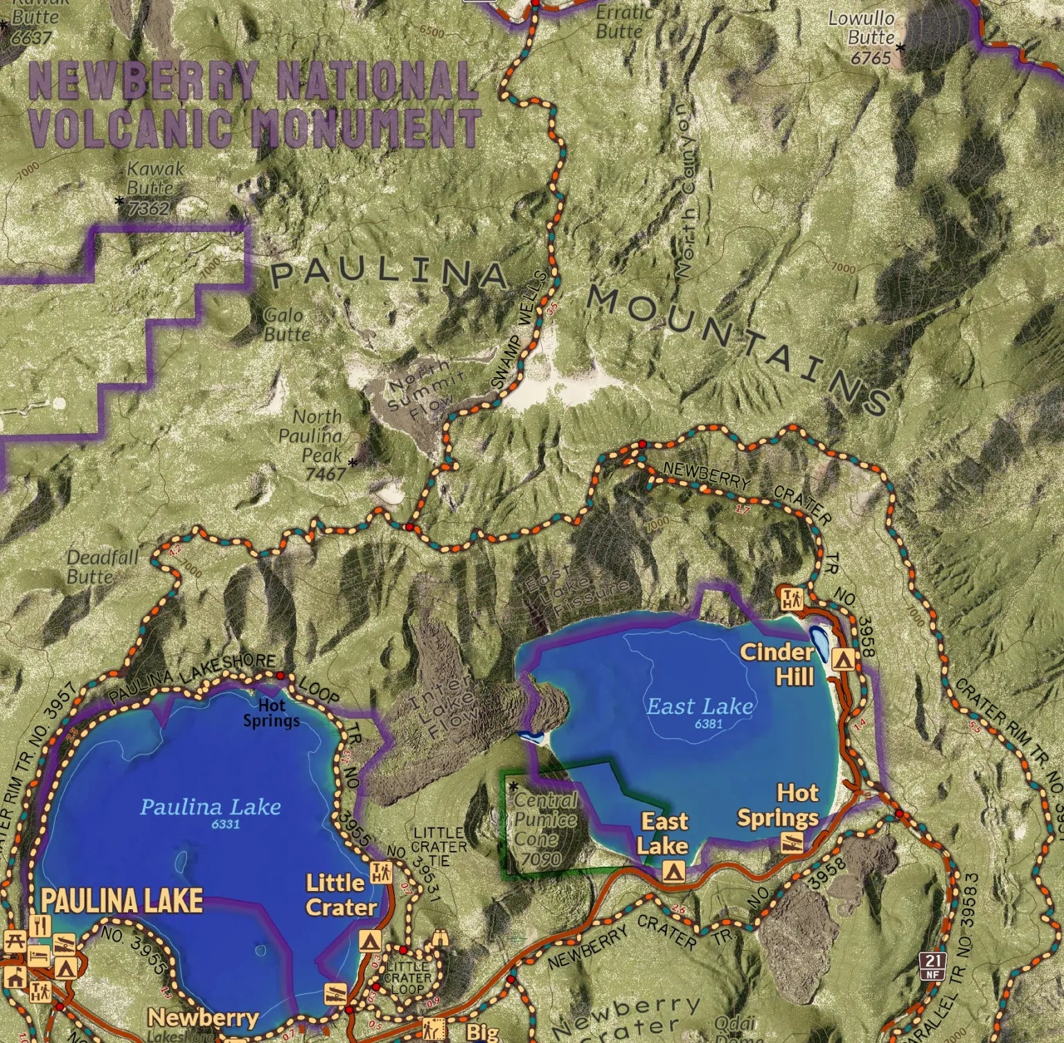
Newberry National Volcanic Monument Wall Map
Regular price $30.00 USDRegular priceUnit price / per -
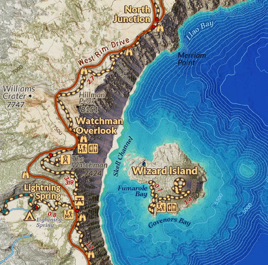
Crater Lake National Park Wall Map
Regular price $30.00 USDRegular priceUnit price / per


