My Store
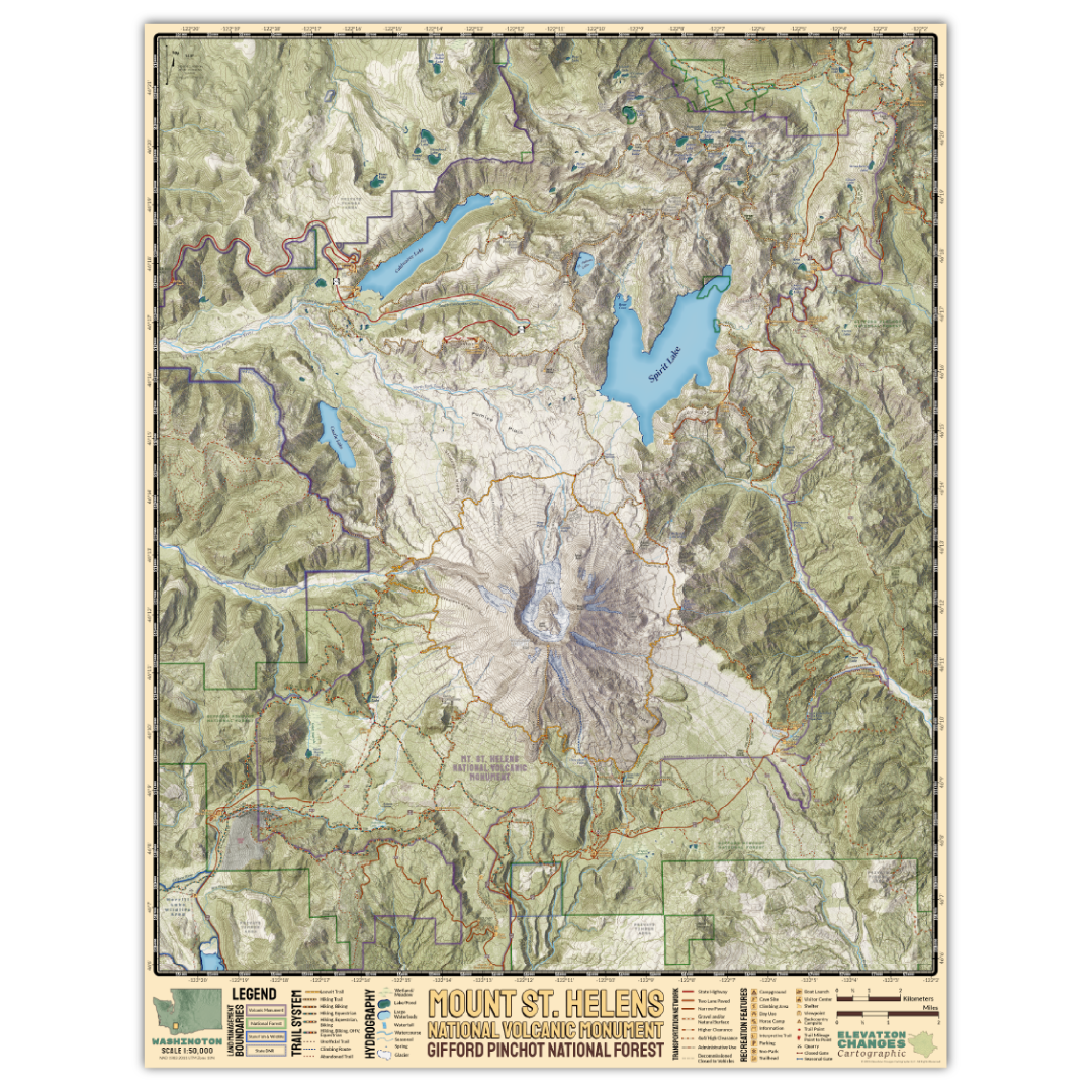
Mount Saint Helens Wall Map
Mount Saint Helens Wall Map
Couldn't load pickup availability
20"x 24" one sided print.
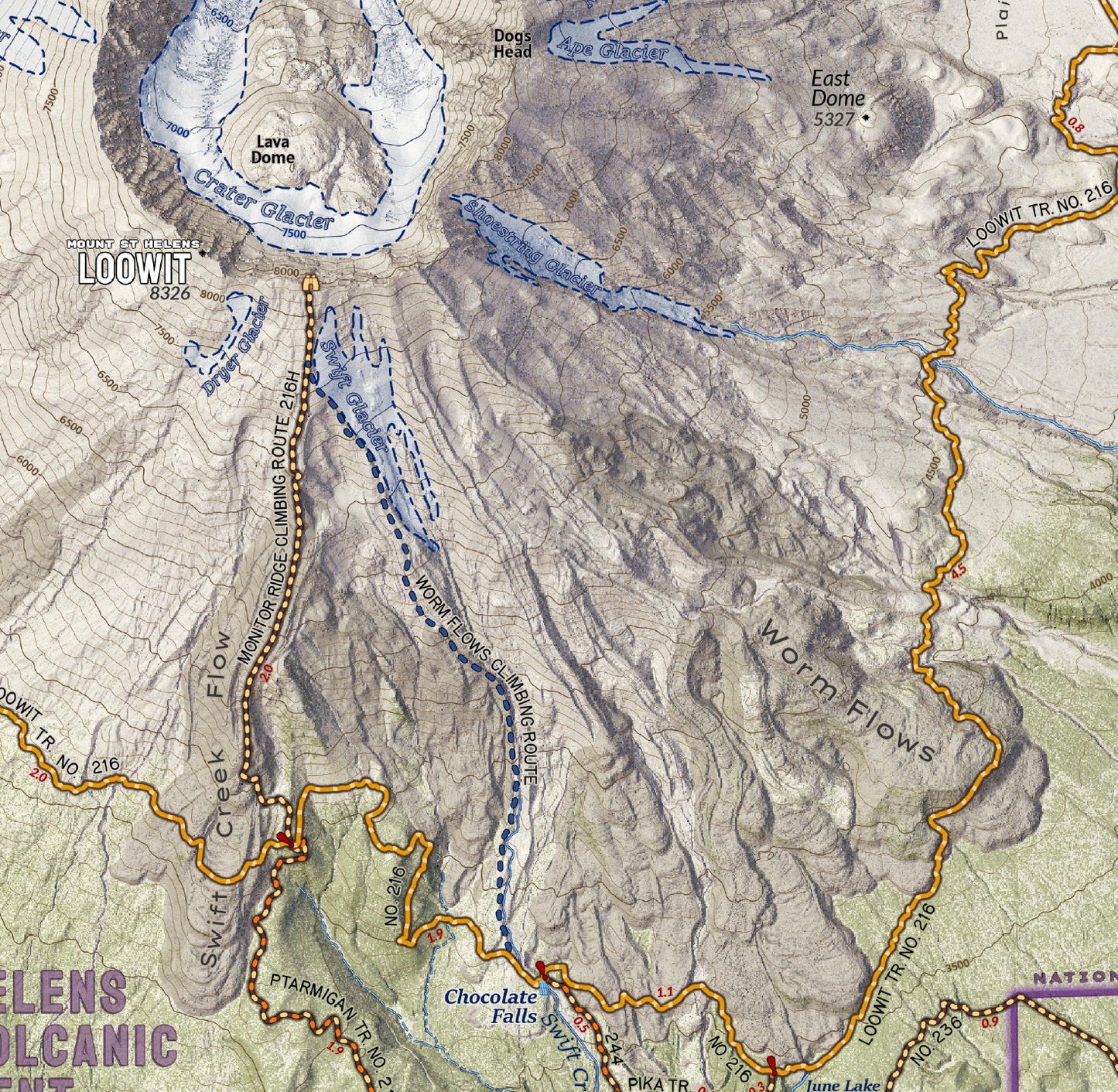
Mount Saint Helens National Volcanic Monument preserves the unique and often otherworldly landscape around its namesake volcano after its 1980 eruption. Utilizing LiDAR data to render the terrain is magnificent detail, this map shows the area around the mountain, its stunning crater and blast-zone, and Mount Margaret Backcountry to the north this is the most complete, up-to-date and detailed modern map of the mountain ever assembled. Printed in fine art detail on tearproof polypropylene mylar, this print boasts a matte finish and beautiful rich colors. It is a map designed at 1:31,680 and presented in 1:50,000 scale, so text and symbology are rendered smaller and finer than field map versions to fit the area covered in a 20″x 24″ area while still being easily interpretable. A legend and title banner graces the bottom of the map.
Printed in USA. Map is shipped rolled in a 25″ long cardboard box.
Share


Collections
-

Field Maps
Field Maps for navigating while out on the trail!


