
Field Maps
Collection: Field Maps
Elevation Changes Cartographic maps are extensively researched and utilize the latest cartographic mapping techniques and remote sensing data to visualize the landscape in a stunningly beautiful and interpretable portrayal. These Pacific Northwest Field Maps contain especially curated datasets of Forest roads and trails, built from on the ground data collection and verification to provide the most up-to-date resource on road and trail conditions. Field Maps are printed on waterproof tear-resistant synthetic paper stock and folded down to 4"x 8"
For more original ECC maps be sure to check out the wall maps. Eventually the goal is to print those and more as field maps, so your support with purchases of maps and and stickers is appreciated!
-
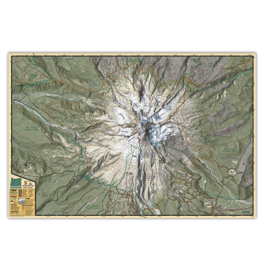
Timberline National Historic Trail Field Map
Regular price $20.00 USDRegular priceUnit price / per -
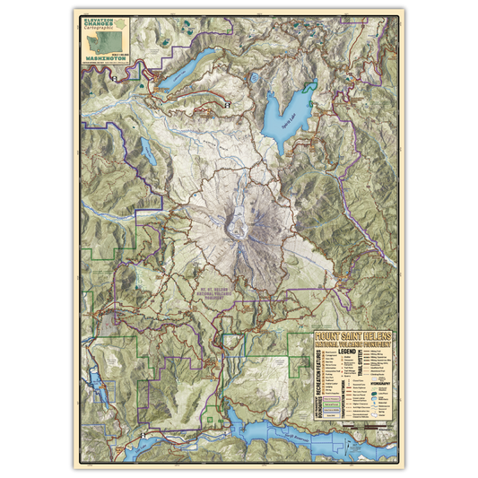
Mount Saint Helens National Volcanic Monument Field Map
Regular price $20.00 USDRegular priceUnit price / per -
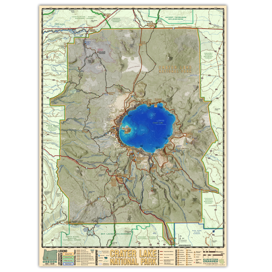
Crater Lake National Park Field Map
Regular price $20.00 USDRegular priceUnit price / per -
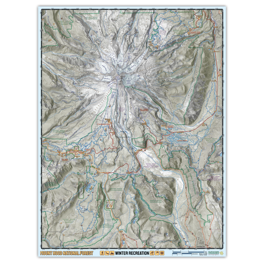
Mount Hood National Forest Winter Recreation Field Map
Regular price $20.00 USDRegular priceUnit price / per -

 Sold out
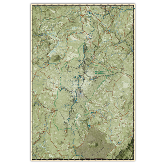
Indian Heaven Wilderness Field Map
Regular price $20.00 USDRegular priceUnit price / per


