


Avenza Maps
Great Basin National Park Visitor Map
Great Basin National Park Visitor Map
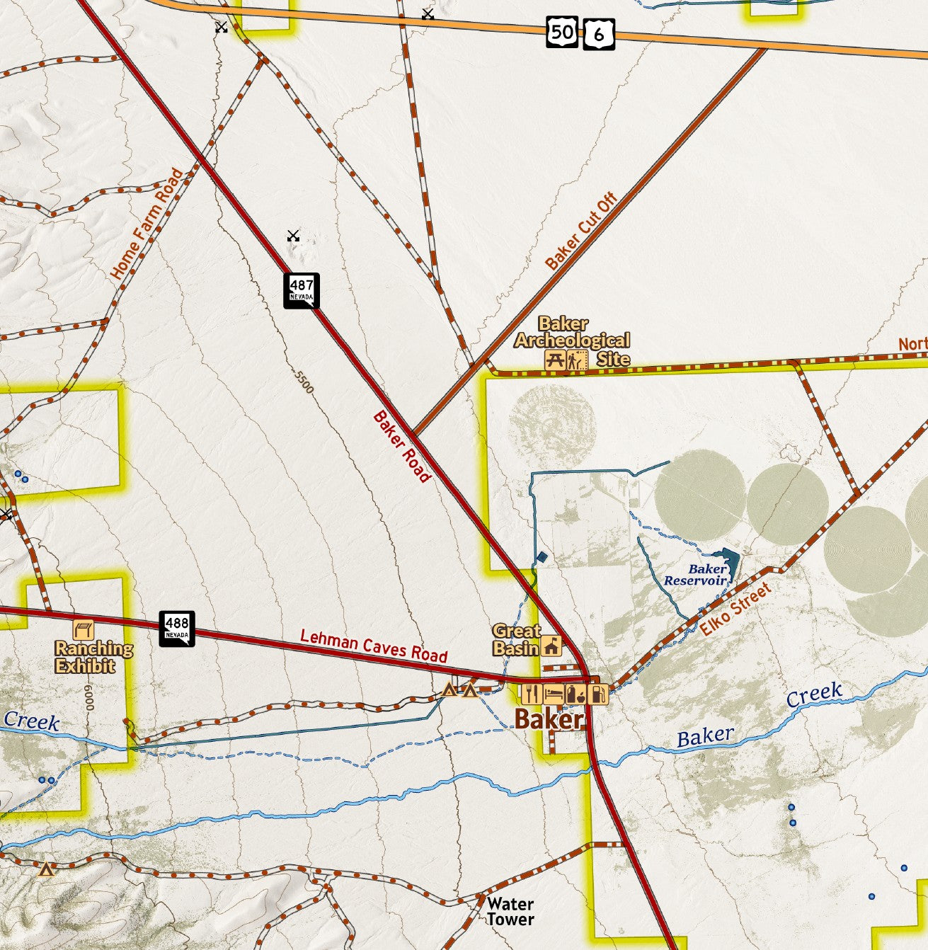
Located on the eastern edge of the state in the southern Snake Range, Nevada’s only National Park, Great Basin National Park protects a rich diversity of historical features of the mining, ranching, and native people’s history of the area as well as Ancient Bristlecone Pine Trees. Nestled below Wheeler Peak, the second highest summit in Nevada is one a sheltered rock glacier which hikers can explore. Tours take visitors through the stunning Lehman Caves from a visitor center in the park. This map details the trails and hiking routes for exploring on foot or horseback. Note that even improved roads around the park can become hard to traverse when wet or muddy and 4x4 routes may be significantly overgrown or deteriorated. Explore safely and enjoy some of the highlights of the Great Basin. Designed at a 1:50,000 scale at print.
Elevation Changes Cartographic maps are available to purchase through Avenza Maps® for use on iPhone or Android to utilize your devices GPS and to located you on the trails or roads covered by the map while outside of cellphone service or with your phone in airplane mode, saving your battery for navigation, photos, and emergencies. Formatted and designed for use on your handheld device they include information and resources for exploring the area. Digital maps purchased through Avenza Maps® get periodic (free!) updates through versioning after significant changes to the environment such as fires, long term road closures, and new trail construction. Map files can be large as they include Elevation Changes Cartographic incredibly detailed LiDAR based terrain custom basemaps.


Collections
-

Field Maps
Field Maps for navigating while out on the trail!


