


Avenza Maps
Joshua Tree National Park Visitor Map
Joshua Tree National Park Visitor Map
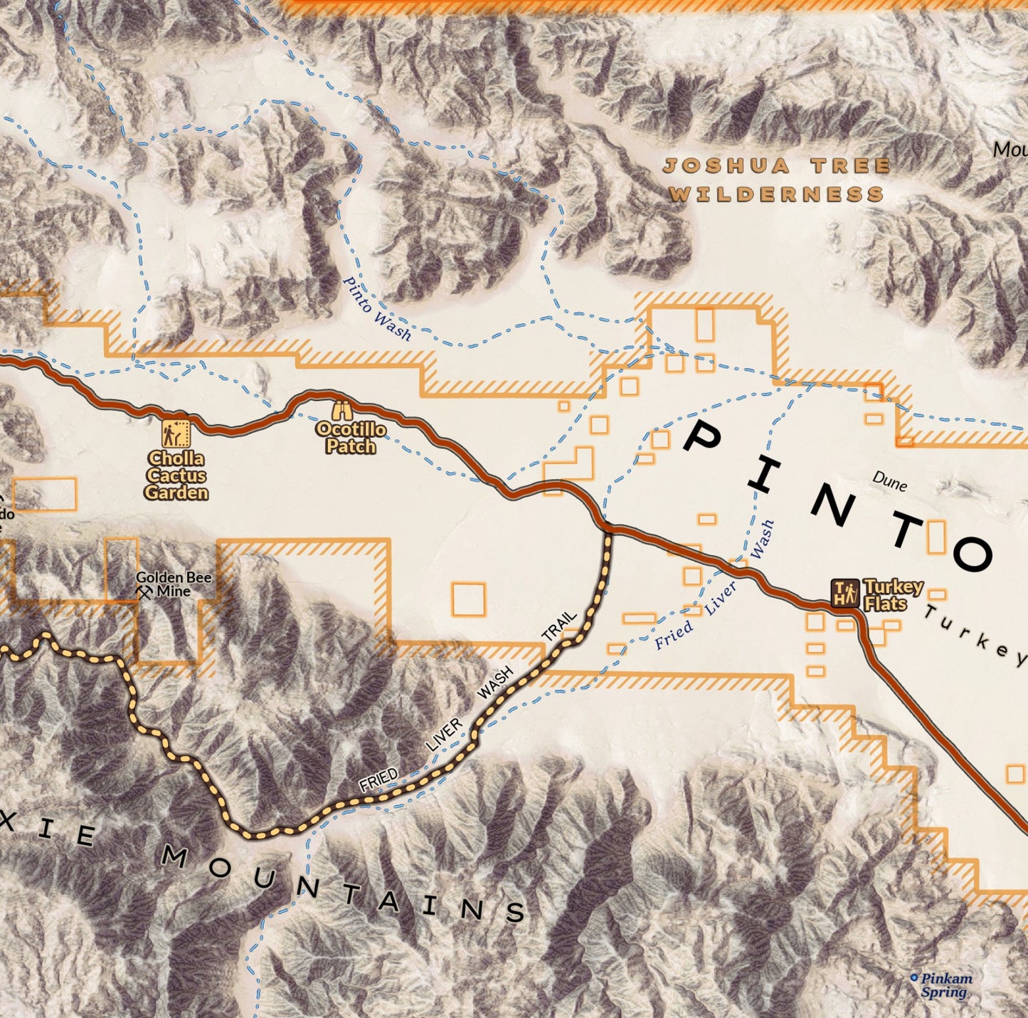
Covering an expanse of southern California 80 miles wide, this area overview map (designed at 1:100,000 scale at print) covers the entirety of Joshua Tree National Park and includes recreational sites and trails of the Coachella Valley, Indio Hills and Palm Springs as well. The highways and road system encircling the park and traveling through it are detailed to help with navigating to trailheads and campgrounds and planning your travels while out of cell service. Highlights the California Riding and Hiking Trail stretching across the park. A perfect destination for winter hiking, camping and climbing.
Elevation Changes Cartographic maps are available to purchase through Avenza Maps® for use on iPhone or Android to utilize your devices GPS and to located you on the trails or roads covered by the map while outside of cellphone service or with your phone in airplane mode, saving your battery for navigation, photos, and emergencies. Formatted and designed for use on your handheld device they include information and resources for exploring the area. Digital maps purchased through Avenza Maps® get periodic (free!) updates through versioning after significant changes to the environment such as fires, long term road closures, and new trail construction. Map files can be large as they include Elevation Changes Cartographic incredibly detailed LiDAR based terrain custom basemaps.


Collections
-

Field Maps
Field Maps for navigating while out on the trail!


